
The Ridgeway runs for 87 miles from Avebury in Wiltshire to Ivinghoe Beacon in Buckinghamshire, passing through Oxfordshire on the way. There is a website devoted to National Trails, including the Ridgeway here.
Via Train and Bus I arrived at Avebury around 9:40am on a bright but cool Monday morning in September. Sharing the bus with two other walkers we exchanged itineraries and it seemed we were walking the route at a very similar schedule.
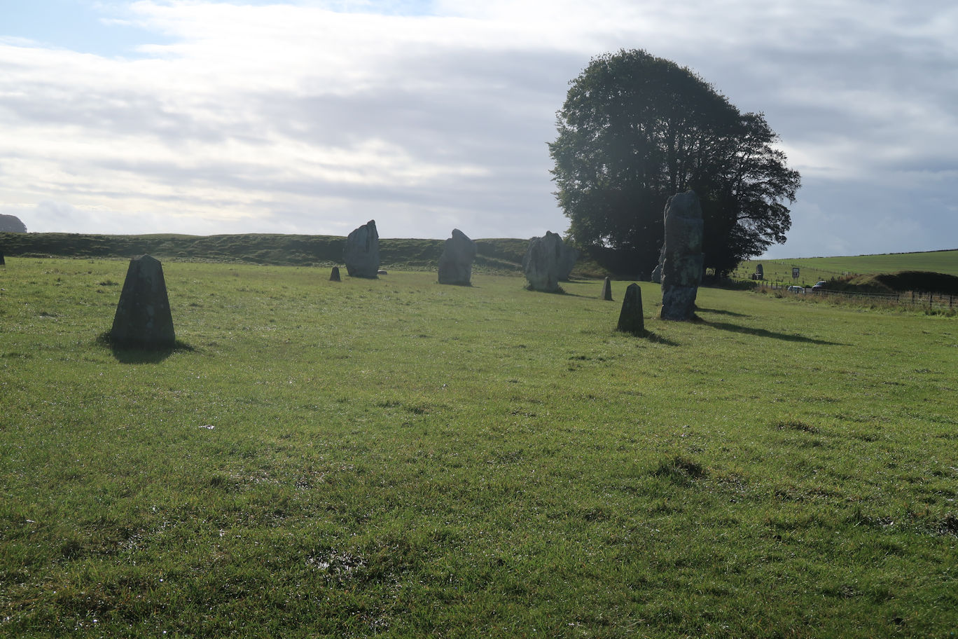
Once off the bus we headed off in different directions - I headed for the Stone Avenue to follow it to the start at the Sanctuary just off the A4, my bus sharing fellow travellers presumably heading for the Herepath which joins the Ridgeway about a mile and a half in. Up to them of course but for me I have to start at the real start.
Periodically along the way there are Vehicle barriers stopping motorised Vehicles as they are causing so much erosion and damage. The Ridgeway has large sections of Green Lane where motorised vehicles can travel at certain times of the year. Personally I think they should be banned permanently to allow the ground to recover a bit and it would do.
Mostly fairly flat and easy walking, suitable for bikes I would say, eventually it crossed a road close to the Hackpen Hill white horse which I totally failed to spot, even detouring through a small copse in search, I finally realised it was just down the road I crossed. Ho hum.
Further along I spied Barbury Castle and decided that it would be a good spot for lunch. Once there I found myself somewhere to sit and relax in the sun. There was a strong wind blowing with nowhere to hide so I suffered in silence. After lunch I set off only to arrive at a car park a few minutes later with picnic benches! Doh!
From here, the route branches left across open fields at the top of a ridge (Smeathes) which is easy going but windy and cold so I stopped to add a layer. Eventually it drops down to a small road where I removed the layer as I was now out of the wind. Being very early, still only 1:30pm I decided to continue along the route and approach Ogbourne from the other side, reducing the distance tomorrow. The weather had been deteriorating for a while and it begun to rain, although this section is under trees so sheltered. It is the first climb of any consequence, not steep, but long and sustained. Finally I arrive at the top and the end of the Ridgeway for today. Turning left, I head down to the village, around 1km distant making a note of my route to return in the morning.
At the bottom I realised I needed to cross the road so I used a field gate and emerged onto the main road. This was a mistake! I followed the very busy and fast road along a while then realised the road I actually wanted was underneath me! I should have followed the original road. As luck would have it, getting down was easy and I was soon under the tunnel. It was raining quite hard so I used the shelter to check where I needed to go. The Hotel was about two minutes away and I was soon there. Good decision - the hotel is on this side of the village.
Rather strangely no one was at the hotel but there was shelter so I waited - it was still only 2:45pm and check-in wasn't until 3pm so fair enough. A few minutes later the owner arrived and in I went.
Just over 22km walked today in 4 3/4 easy no rush hours.
The rest of the day was spent making a mess in the bedroom with all my gear, having dinner and an early night.


