

| 210 Miles long | Official Guide Available |
 | |
| Welsh Sections | |
| Shropshire Sections | |
| Gloucestershire Sections |
According to the guide, there is no crossing of the river below Highley, but in fact, there is a shiny new bridge which, if crossed and followed for about half a mile, leads to the visitor centre which has a cafe, toilets and a Car Park. It is also on the Mercian Way which is a serious undertaking of about 230 miles from Salisbury in Wiltshire to Chester in Cheshire. It also passes through Bewdley via a different route to the Severn Way.
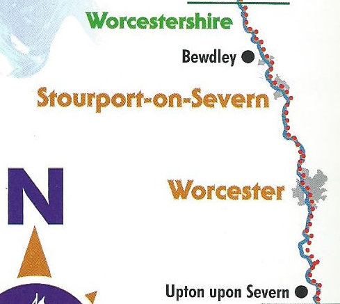
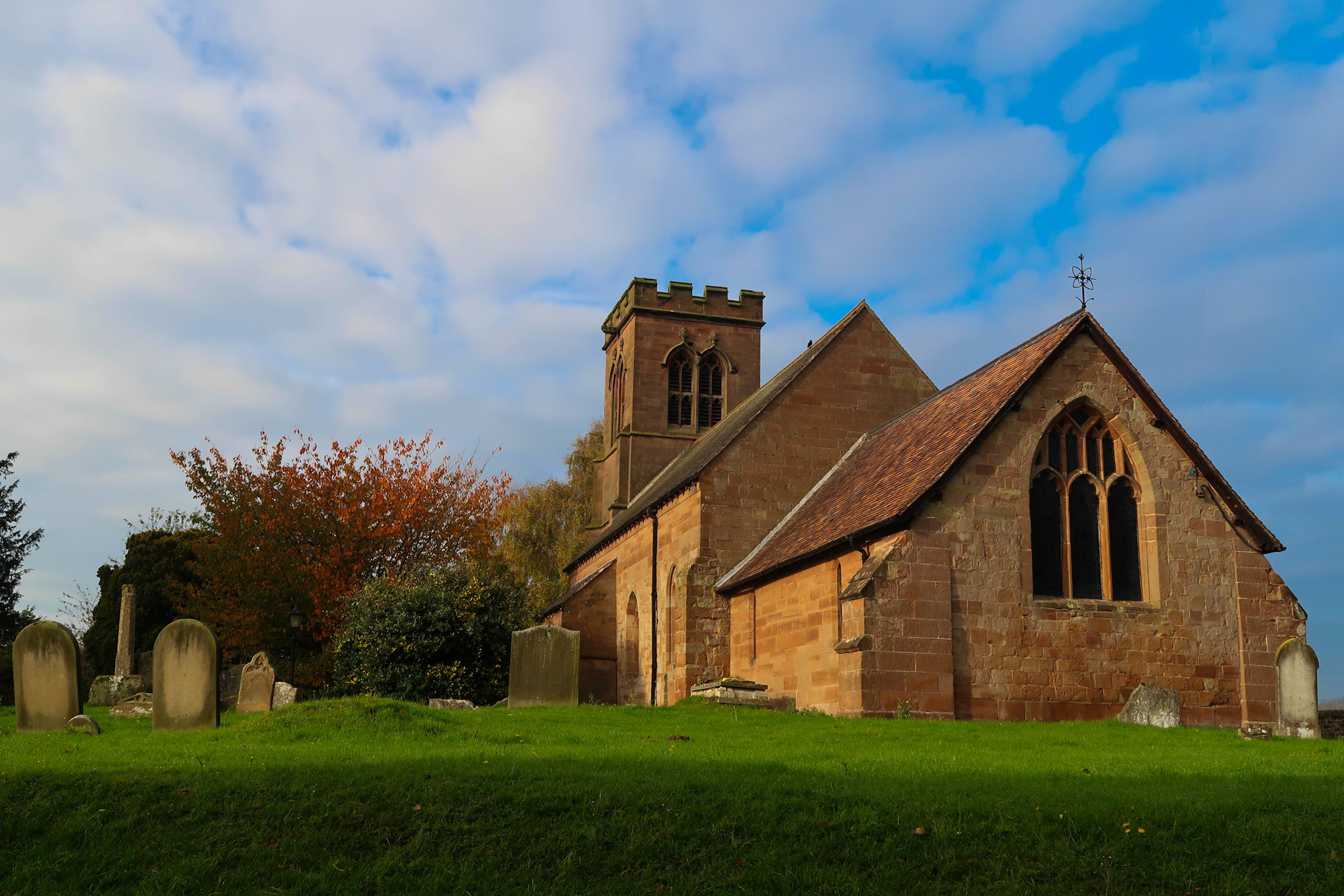
Heading off down river I soon arrived at Upper Arley, a very pretty village, boasting a very nice Church and also refreshment opportunities for the weary. The route crosses the river here passing through Eymore Wood and underneath the Severn Valley Railway line which makes an interesting photo opportunity. Two and a half miles further and Bewdley is reached. This is a lovely town with excellent pubs, cafes and ice cream shops. A detour is recommended but on this occasion I passed by. The Way continues on the same side of the river, thereby missing the town centre and heads South to arrive at Stourport shortly afterwards. There are the usual caravan parks and the tourist count increases dramatically with small children straining at the leash to be allowed to run on to the permanent amusement park that fits neatly between town and river.
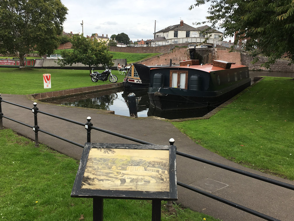
A few minutes past this and the canal links are reached which make an excellent backdrop for a lunch stop, being both quiet and picturesque. Remaining on the same (Eastern) side of the river, the route passes the 'Angel Inn' before heading to open fields for what seems like an eternity. This is fishing world with many cars parked by fishing pegs - clearly fishing, although being an outdoor sport, does not promote a healthy lifestyle! Continuing South, one is quickly shocked back into the modern world with the bridge and pub at Holt Fleet. This is the very busy A4133 which requires some degree of patience to cross. From here the route passes between the pub and the river, then across the car park and through a small slot in the hedges before heading away from the river and uphill to the village of Holt where a very nice Church and Castle face each other and provide a good excuse for a quick pause for drink and food.
Onward from here is a section of road and then track through the 'Top Barn' Estate which is given over to small businesses including a caravan/motorhome company - the temptation to try one of the beds is almost too much but I resist and continue through to open countryside again. The route takes a strange twist here with 'Tarmac' having re-routed the path. Clearly they haven't done a very good job as the first option is advised against by various signs and the second option so overgrown as to make progress impossible, requiring a third option which is actually going in the opposite direction! Take advice and ignore all of the options and continue down the lane to 'Tarmac' itself, across an open area to pick up the permitted path. If anyone stops you, perhaps ask them to show you the actual path!
The path soon returns to fields and at the top of the next field, Grimley Church can be easily seen. The Wagonwheel Inn is a welcome end to this section of the walk providing a pleasant garden, nice interior and a good choice of beers.
This is the shortest section of the route but turned out to be double. As a result of ending the previous section in Grimley, I wanted to add this link, so set out from Worcester to walk up to Grimley so that I could walk back again! This section is described Southwards even though I've done it in both directions. From the Wagon Wheel, head down towards the river and on arrival, turn right through the gate to follow the river South. Initially around a large field with nice views of Grimley Church to the right, the way then passes through some small woodland before arriving at the Bevere Lock which, like many, has a couple of Lock-Keepers houses, some very nice plants and flowers and well kept lawns.
Passing this, the Camp Inn is reached, which sadly, was closed, but is an excellent olde-worlde pub in the middle of nowhere. The route skirts the front, then through the camp/caravan field before rejoining the river again. Walking along through wooded sections, periodically 'Hallow' is seen across to the right and then into more woodland where a 'City of Worcester' sign is reached. The next section is through some very nice woodland before emerging onto a tarmac path which passes some very nice houses with awesome gardens - one of which has an amazing driveway which leads nowhere!
On the left is the famous Worcester Race Course. Continuing along, the Sabrina Bridge is reached where the route crosses, but this was the end for me. A very short section, but one of the nicest in my opionion and well worth doing as an out and back for lunch at the Wagon Wheel, or, like me, a short link between sections.
Worcester is a nice city, boasting as it does, a cathedral very close to the river and in full view as the route makes its way through. The path crosses back to the Eastern side, not at the old bridge, but early on the footbridge close to the Racecourse. The path follows through Diglis and the Canal basin where signs point North giving the number of locks - 37 to Birmingham which sounds an awful lot! Having ridden the canal to Birmingham from here, I can confirm it is marginally uphill the entire route, although hardly noticeable!
Continuing South the Malvern Hills come into view in the distance to the West, most notably for Spring Water, Edward Elgar and the fact that they are made of an ancient granite called 'gneiss' - pronounced 'nice' which is pink in colour and exists nowhere else in England or Wales - one has to walk to Scotland, or take the train, before gneiss appears again.
Just South of Kempsey the path once again leaves the river and heads up to Clifton across pleasant fields before dropping down again at Severn Stoke and a rather annoying detour around some woods before heading out into wide fields to make its way to Upton upon Severn and the final field, called Fish Meadow which regularly disappears under water during the flood season - beware to check the weather forecast! It also plays host to the annual Sunshine Festival during the August Bank Holidays where stars of the 70s and 80s prove there is life in the old dogs yet and strut their stuff.
Upton is a lovely village boasting many pubs - the best ones being on the riverfront, also a fish and chips shop just up the high street on the right serves a fish that could easily be mistaken for a whale! Thos brave enough to continue will find themselves heading out on the 'town side', but you'll have to go to the next page for this as it is mostly in Gloucestershire
