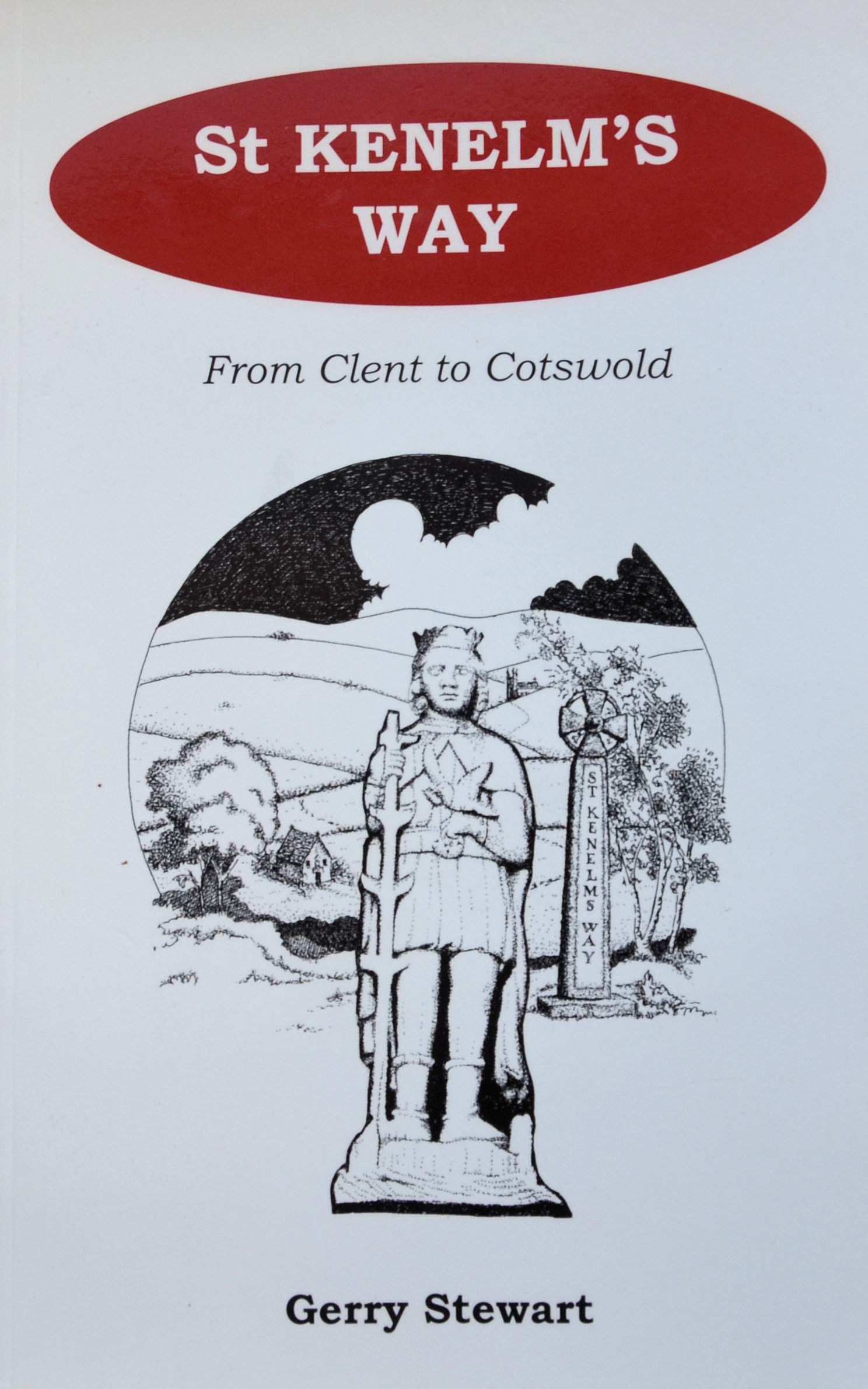
| 52 Miles long | Official Guide Available | |
 | ||
| Romsley to Himbleton (19.5 miles) | ||
| Himbleton to Great Comberton(14 miles) | ||
| Great Comberton to Dumbleton(9 miles) | ||
| Dumbleton to Winchcombe(10 miles) |
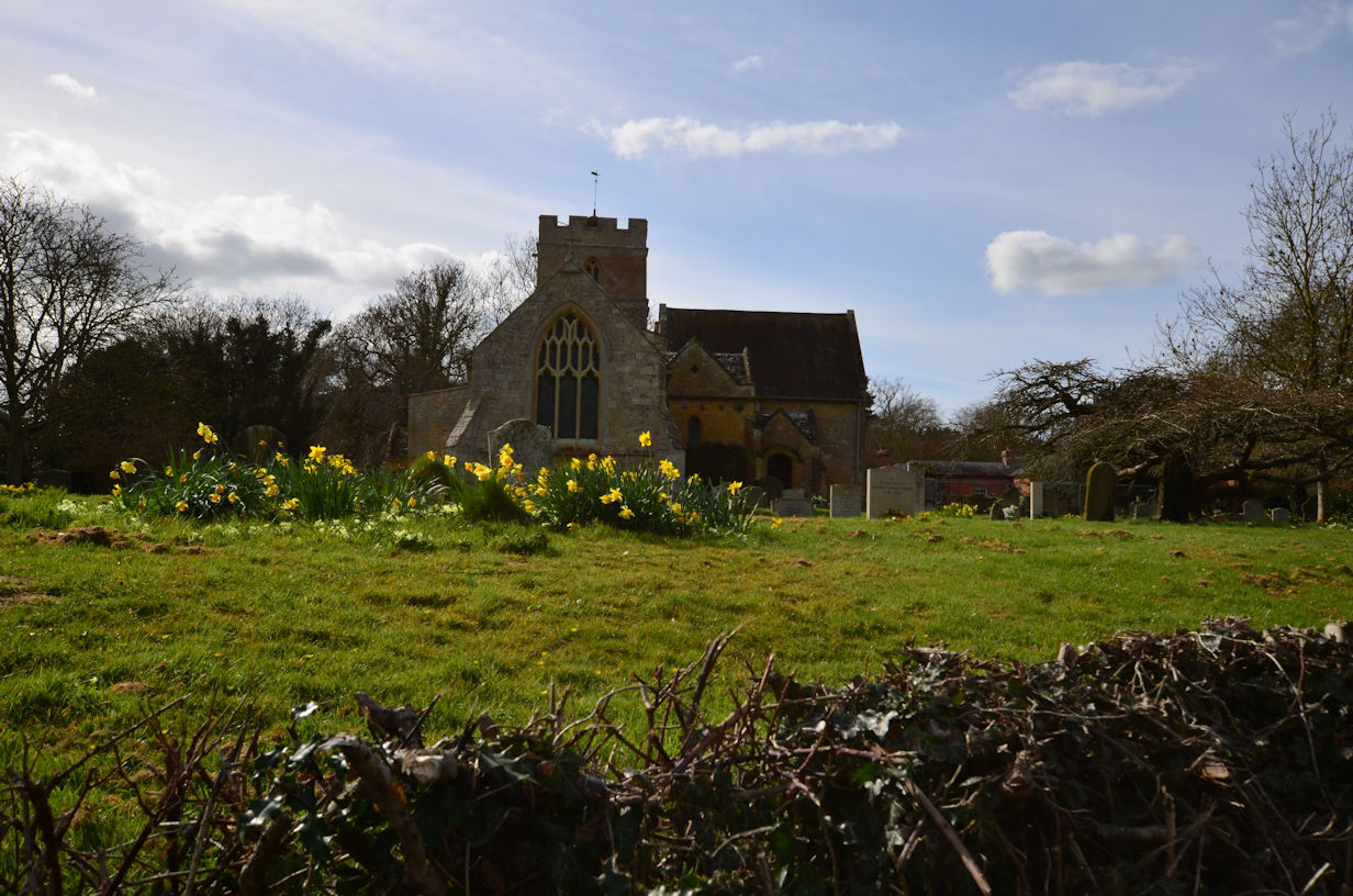
This time we needed two cars as our normal chauffer wasn't available. Parking one in Dumbleton near the village hall, we drove round to Great Comberton and soon found a space. Kitting up, we were off. The day was dull but not actually raining, even so, we donned our waterproofs as it was clear it soon would be. A short walk up the road and we entered the churchyard, commenting on how run down it was. Taking the obvious exit proved to be the wrong one, so we retraced and took the less obvious path which bought us out onto the road again.

Down the dip and into a field we began to climb immediately, just as the rain started. Uphill for a while warmed us up, it wasn't a cold day but the rain steadily got heavier. Soon enough the path turns to the right and flattens out for a while up to a track. Signs are clear here but it is a left turn and up again, with the summit tower now in view. The climb angle increases dramatically and must be the steepest way onto the summit. By the same token, it is probably the shortest.
Once on the summit, we took a couple of minutes to recover from the exertions, but as the view was non-existent and there was a cooling breeze, we soon set off along the Long Plantation past the Fire Tower which, despite being a few hundred yards away, was enveloped in the mist. By now it was seriously raining so we kept moving to avoid getting cold. I had elected not to wear waterproof leggings as none of my leggings are waterproof anymore so seemed pointless. As a result, my trousers were soaked through. I had my Rab Powerstretch top on which, whilst also not up to the job of dealing with such an amount of rain, kept me surprisingly comfortable, damp, but okay.
With the non-existent views, it was difficult to establish our precise location, but I knew that we would need to turn left and down at some point. That point came in the form of a gate, also signposted the 'Wychavon Way' which I knew we had to follow for a while. Downhill, a village came into view which had to be Ashton-under-Hill so we continued down on the path to emerge into what indeed was Ashton.
Turn left and up the road a short way until just past the school, the path turns to the right and skirts the Sports Field. An obvious track leads across the field. At the other side, I needed to check the guide, but the rain was so heavy and the humidity high, I couldn't actually see through my glasses! Oh well, I knew roughly which way to go so off we set. As it turned out, we were on the wrong side of the hedge so had slightly further to walk, but still emerged onto the same lane. Down the lane to the incredibly busy A48 and across as soon as we could.
The final section to Dumbleton follows a sweeping track with the village ahead so navigation was simple. Across a final stile and we were walking up the road to the car and the finish for the day. Total walking time was just under three hours with a couple of quick stops for food and drink. Even with our slight addition, it was not the 10 1/2 miles quoted in the guide book. Maybe the book was written before the advent of modern GPS watches - my copy is dated 2005, or perhaps the author relied on map and ruler for measurement. Either way, a good section and we are now just one section away from completing the entire walk.


