| 100 Miles long | Official Guide Available | |
| Gloucester to Hereford (32.5 miles) | ||
| Hereford to Worcester (36.0 miles) | ||
| Worcester to Gloucester (34 miles) |
Leaving Hereford is horrid! The route uses side roads to avoid the main road, but to be honest it just prolongs the misery. Turning down the Old Ledbury road there is a stile into a huge field, but the text suggests continuing to the main road again. This is NOT necessary and the field can be used for some considerable time. Of course I didn't know this so walked along the main road for the best part of a mile to Lugwardine wondering why I couldn't have used the field. Lugwardine presented a further challenge in that the path to be used was closed with no alternatives marked - great! I checked my phone (trusty Google maps) and figured out that if I walked another 100m down the road, there was a parallel path that bought me back on the route, although I did have to figure out exactly where.

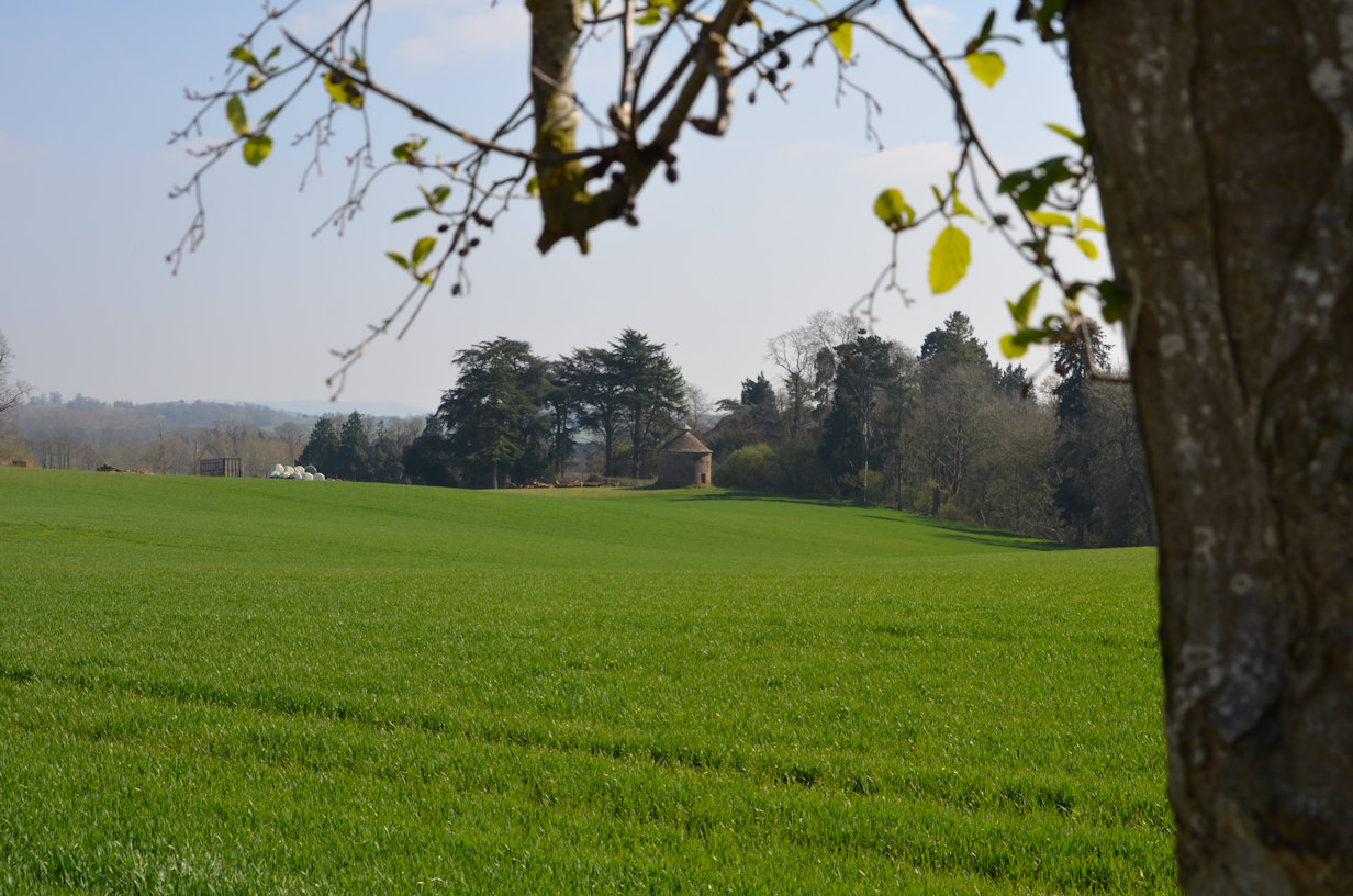
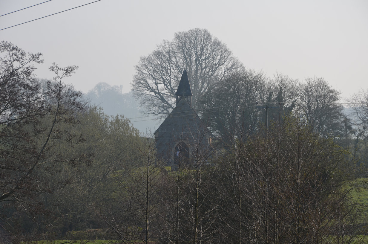
Some pleasant fields and small villages but also lots of road walking were the order of the day. After Lugwardine and until Ocle Pychard and lunch, it was pleasant, although at times tedious with endless fields and stiles to negotiate. After lunch, some road walking but then a nice country section past a chicken and deer farm at Cowarne Court broke up the tedium a little, especially when the chickens all came over to check me out as I took a break. Much Cowarne Church was very nice and probably worth a return visit. From there, a lot of road walking which lost interest very quickly as it twisted and turned around a hill that would have been much nice walking over! The author did make apologies about the lack of paths in the area so not really his fault. Finally back to some countryside walking for a good section, but then the last mile and a half was once again, on roads right up to my overnight stop at the 'Herefordshire House' (Pink Pub). A few miles from the pub I encountered a group of ladies who were walking the Via Beata. Never heard of it, but it turns out that it is almost a pilgrimage from Suffolk across to St Davids in Wales and seems to be, despite its Latin name, something of a work in progress if the website is up to date.
I set up camp in the field, had a brew and did some admin and then it was time for dinner so went in. I had the most huge Gammon and Chips - so much in fact, that I couldn't finish it! I restricted myself to two beers as I didn't want to be up and down to the loo all night.
It was a cold night and I found myself putting on my down jacket part way through. When I got home, I checked my sleeping bag - it was rated +7 degrees C. The temperature was down around freezing, no wonder I was cold - I felt a shopping trip coming on.
The alarm went off at 6am and I dragged myself out into the cold morning light. There was a lot of condensation on the tent so I needed to give it a good shake to get the worst off, which worked reasonably well but I think I carried a lot of water with me! I packed away quickly, made myself a brew and had some breakfast bars to set me up for the day.
Soon away with a bit of road walking down to the next Bridleway then across a field and I managed to miss the stile, doh! I only went a few metres on when the field came to an end so it didn't take too long to retrace. Unlike yesterday, there were some nice countryside sections and a nice wooded area to walk through.

Knightwick provided a lot of interest; the church was very nice but locked of course - another one worth a second visit. Knightwick is home to the Talbot Inn and I decided to take full advantage and stop for a coffee and toilet visit. Suitably refreshed and relieved I headed out and onto the steepest part of the day; Ankerdine Hill. It is the steepest road in Worcestershire and provides an annual challenge to the local Cycling Club being 3/4 mile from bottom to top and maintaining a good (steep) incline. The Three Choirs Way leaves the road quite early on and climbs through the trees to the top, although there is no view, the trees are too high. A steady descent back to the Worcester Road at Bannersbrook where the local landowner has done his best to discourage walkers by chaining and locking all of the gates through his property which is crazy; it's a public path and just means that walkers have to climb the gates which will do them (the gates) no good long term.
Broad Green over to Upper Broadheath followed fields and good paths, but lots of stiles to test the legs, then finally some road walking. Most of it could be avoided by crossing the Village Green instead but eventually back onto the road to walk down to 'The Firs' - Edward Elgars birthplace, which is a National Trust property and boasts a huge Visitors Centre and seems well worth a visit. I decided not to stop as I was keen to get to the finish, but made a mental note to put it on the list of 'Sunday drives'.
The Way passes between the Visitor Centre and 'The Firs' and can be accessed either from the Visitor Centre or by walking just past it and turning left. A mile of nice country track abruptly ends at a lane which is followed until it becomes a bigger road and then all the way into Worcester, finally arriving at the Severn about a mile and a half later. The Author reflects on the tedium of this section and he is not wrong! The Severn cannot come quickly enough. Crossing the road and following the river for a short distance to the Sabrina bridge, the final mile is walked to the Cathedral and the finish for the day.
There is an alternative that bypasses the City and, unless there is a desperate need to visit the City, one I would strongly recommend, parting, as it does, at Upper Broadheath. According to the text, it meets the City outgoing route having covered the same distance so all is fair. The two converge near Powick, but that is the subject of Part 3.

