
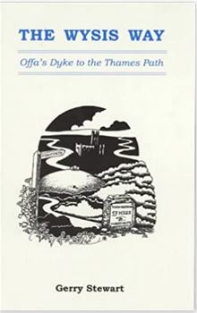
| 55 Miles long | Official Guide Available | |
 | ||
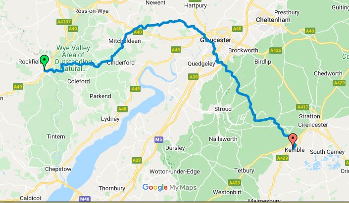
| Monmouth to Micheldean(17 miles) | ||
| Micheldean to Gloucester(14.5 miles) | ||
| Gloucester to Bisley(13 miles) | ||
| Bisley to Kemble(13 miles) |
I'd discovered there was a bus from Bisley to Stroud at 13:15 which would be way better than walking an additional 4 miles off the route. It did mean an early start but that wouldn't be a problem. In fact I walked out of the hotel a little after 7am and made my way through the boring and uninteresting streets to arrive at the foot of Robinswood Hill. I estimated the distance I walked from the hotel was the same as that from the docks direct so it all seemed fair. The guide merely tells the walker that the next point of interest is the summit, how to get there is a personal choice, so I headed up what seemed to be a direct route and soon arrived, albeit rather breathless at the summit.
The descent on the other side however, was a completely different story with so many new paths and tracks, it was impossible to follow the guide and I had to frequently refer to 'Google Maps' to establish my location and the direction. Fortunately, the Wysis Way is marked on Google which made it considerably easier.
Eventually I walked onto, or rather around the Golf Course to emerge onto Sneedhams Green and over the Motorway. Finally I was confident again!
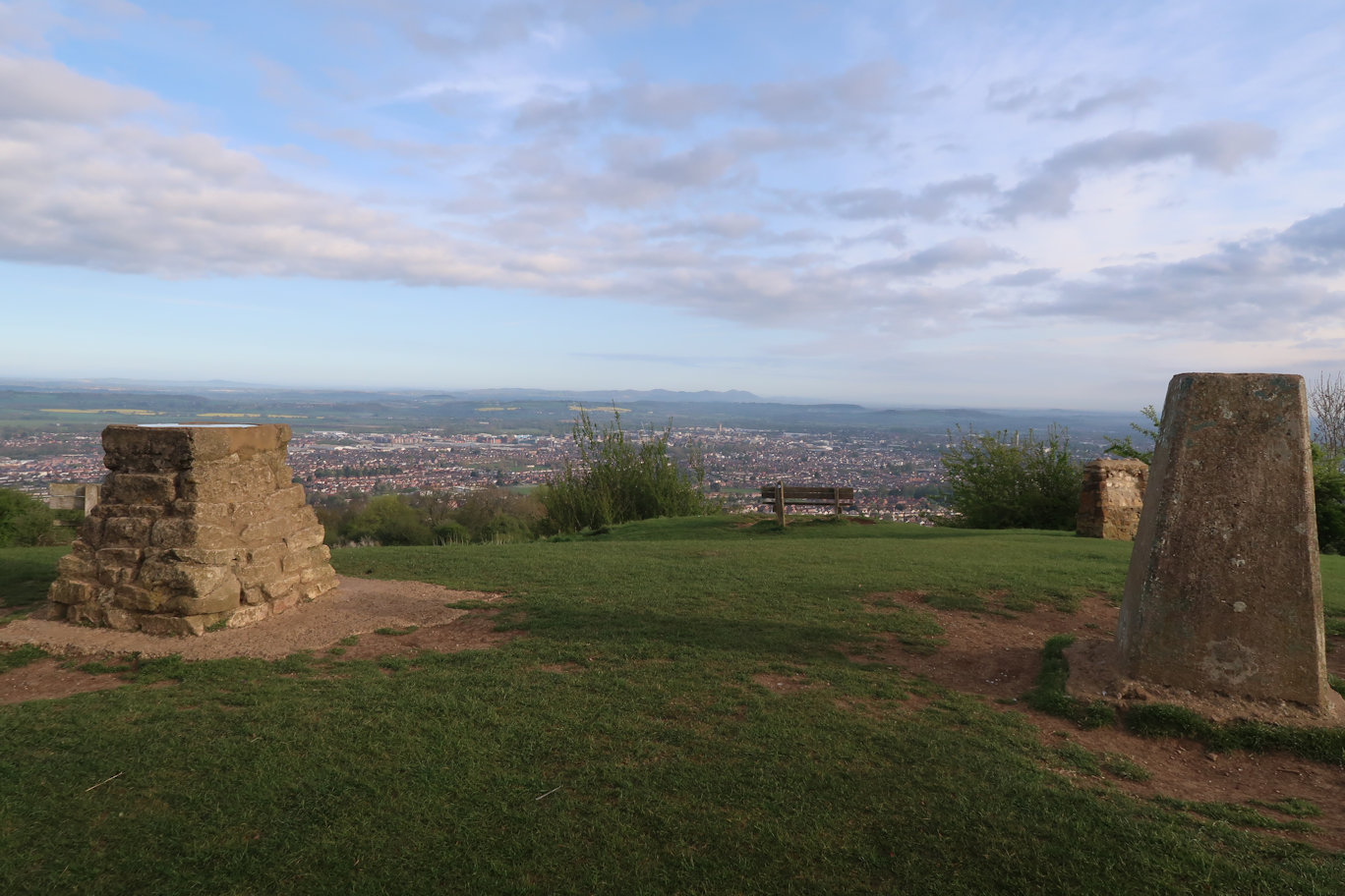
There is some pretty serious uphill work here to arrive at the top of Cud Hill. A feature of this is the King Charles stone, or rather it would be if it were still there! Painswick Beacon is visible not too far away and I made good progress reaching the foot of the hill in a few minutes. Achieving the summit was another good, but short lived climb and I was soon sitting on the trig point, enjoying a goodie bar, drink and excellent views right the way back to May Hill which seemed an age ago, but was only yesterday morning.
The quarry is an obvious feature to aim at from here and briefly the Cotswold Way is shared but soon parts company.
Some relief from the climbing with a steady downhill to the wonderfully named 'Paradise'. More downhill to Damsells which had a confusing section. The stile which is on the route is marked as 'Private' but there seemed no choice so I crossed it regardless and popped out of the farm area to spot a couple of walkers passing left to right. Watching their progress I realised there was another crossing that had been hidden from my view. It is a source of great irritation to me that landowners change path routes with little or no signage making it difficult to navigate without trespass. The same thing applies across fields, why do they not invest in a few markers which would speed walkers passage and reduce 'wandering'?
Anyway, that done, there was some pleasant woodland walking just past Damsells Mill before another big climb up and out of the fields and onto a pleasant track that ran behind houses to emerge at Bulls Cross and the end of the section.
More downhill, this time quite steep to Trillgate Farm then steeply up to Down Court.
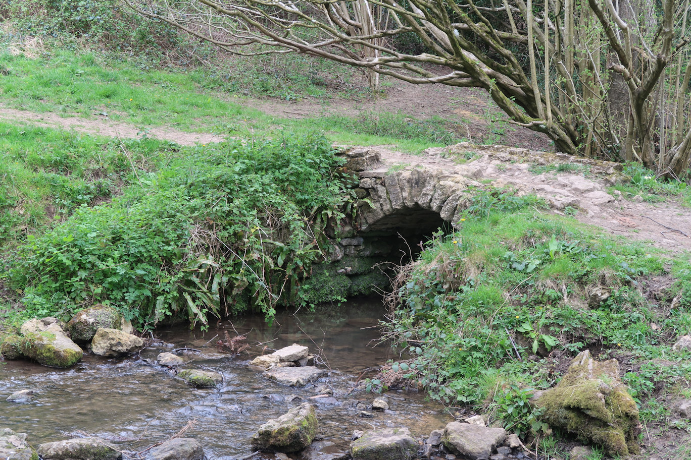
More undulations eventually bought me to what must be the smallest pack-horse bridge in the world, with a span of about three feet!
Some more confusion here as the signpost seemed to point up the hill and the guide implied walking up, but gates at the top were clearly not intended to be used so I had no choice but to climb them. The track runs through the wood on an incline heading up. The guide seemed to agree with the ground but my instincts told me something was amiss. Checking with Google Maps, the actual Wysis Way appeared to be lower in the valley but on the same line. Continuing I reached a fork and realised that if I dropped down, I would meet the actual path. This done, I continued on along the very pleasant valley passing small dwellings in greater or lesser need of repair.
Finally emerging onto a very steep and long climb up out of the valley I reached a track which passed an old, apparently disused Trig Point. Pausing briefly I looked back and could see May Hill many miles distant. Hard to believe I was stood on the summit only yesterday morning.
Bisley and my end point for the day was a short distance ahead and I arrived at the Bus Stop with an hour to spare. Rather that than late! There is a pub (The Stirrup Cup) next to it, which unfortunately was closed, but there were benches outside so I sat and had lunch, slowly putting on more and more layers as I was beginning to get cold due to inactivity.
About five minutes before the bus arrived it started raining!
The bus ride into Stroud was quick and made me realise what an inspired choice it was.
As I couldn't actually get into my hotel room until 3pm I decided to try and find a small supermarket to get food and drink for this evening and lunch tomorrow. I hadn't decided what to do for breakfast but there is a Subway and a Starbucks near the hotel so that might do.
Locating an 'Iceland' I purchased food, then went for a coffee and caught the bus at 14:25.
Due to a minor cock up on my part, and the fact that I helped a fellow passenger at the crucial time, I missed my stop! Realising, I asked the driver if he could let me off as the next stop was clearly some distance. Thankfully he did, but I still had almost a mile to walk back along a very busy road which I could have done without. The combination of all of this meant that I arrived after 3pm so could check in straight away.
Hotel: Travelodge: The room is typical of this chain of hotels, i.e. adequate but basic and lacks the warmth and quality of say, a Premier Inn, but I'm only there for one night and its a bed, bath and toilet so no worries.

