
Hollins Hill (451m) ascent 28/01/2026
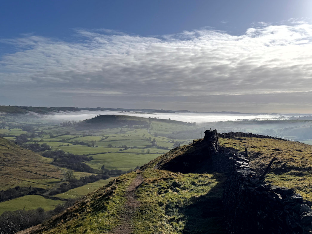
From a small car park in Hollinsclough, I headed quickly onto open countryside and followed the obvious path in the direction of Hollins Hill. A short time later, signposts for Chrome Hill (the dragons back) and Hollins Hill split the route. I took the Hollins hill path and made my way steeply up onto the main ridge and along to the tumulus that signified the summit.
It was an excellent day, the sun shone and the cloud inversion in the distance just looked amazing.
From here I could see the Dragons Back (Chrome Hill) a short way distant.
View from Hollins Hill 28/01/2026
Onto the Dragon 28/01/2026
From Hollins Hill, I dropped down on a path and joined the main path that led to Chrome Hill (425m), or the Dragons back as it was known, for fairly obvious reasons.
There were some route choices depending on whether a scrambly ascent or a path ascent was preferred. I chose the scrambly ascent which required care as the limestone was both polished and wet!
Eventually I summited and enjoyed a good view before heading off in the direction of the final hill.
Parkhouse Hill 28/01/2026
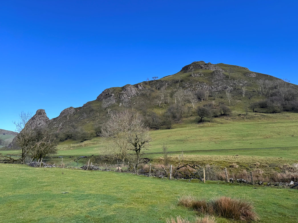
Parkhouse Hill (360m) 28/01/2026
Slipping and sliding down the muddy grass and wet rock I finally got to the bottom and crossed the narrow road to the base of the final hill, which, whilst not high, looked quite imposing in front of me.
Given the wet conditions and the steepness of this hill, I decided to see how it went as I would almost certainly have to retrace my steps.
In the event, the path was generally good with a couple of sections requiring some care but I was soon on the top enjoying another glorious view.
Retracing was tricky in places as expected but I got down easier than Chrome Hill as the going was fairly good.
At the base, it is a twenty minute walk along a good track back to the car.
So that was three peaks to add to the Ethels collection. Not one I wanted to start, but there you go.
An excellent recommendation, but as I was advised, not one for a summer weekend!
Black Edge 26/01/2026
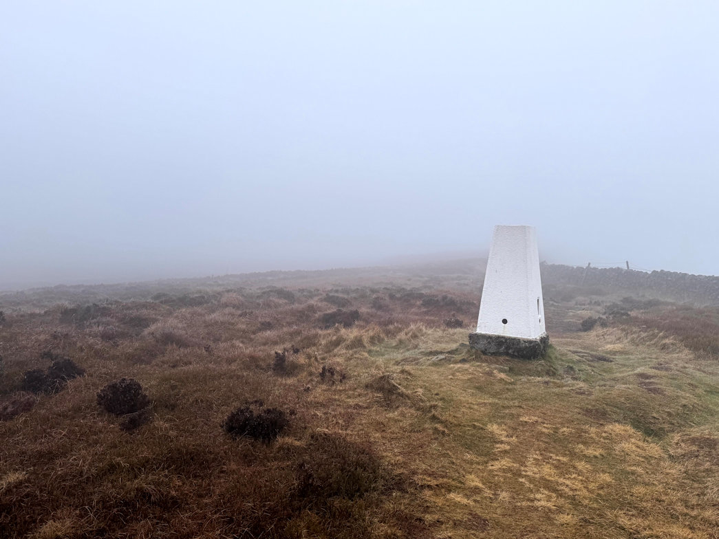
Deweys and Ethels 26/01/2026
A new (to me) category of hills known as the Ethels exist and are prominent hills in the Peak District. There are 95 in total and todays walk included two of them plus a Dewey (Black Edge).
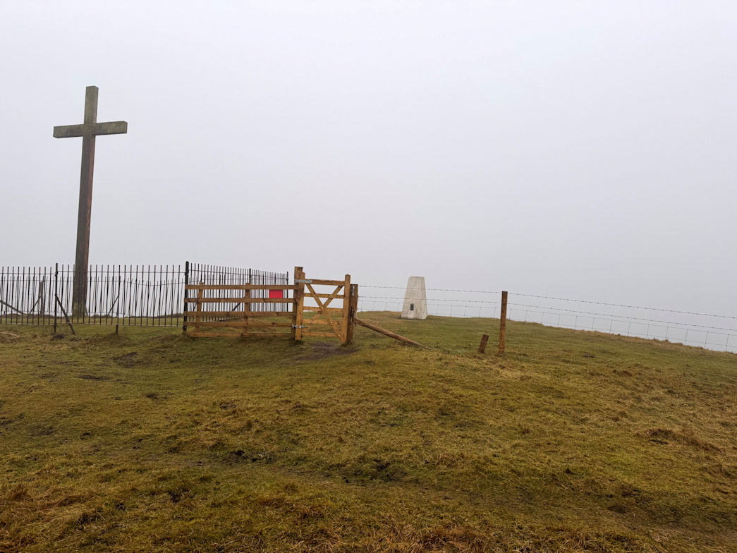
I parked in Buxton and headed up through Corbar Woods and out onto the hills. Corbar is the first summit, immediately visible and includes a large cross. I decided to leave bagging it until the end.
Through the gate and across a field I was soon onto Combs Moss, following the edge right across to Black Edge (507m). It was cold, windy and very little view so I took shelter whilst I quickly ate lunch, then headed off to circumnavigate Combs Moss again to finally reach Combs Head, the summit (486m). Barely noticing and barely pausing I continued around to eventually reach the field I had initially crossed, which I recrossed and walked up to and touched Corbar Hills summit (437m).
It was a short way down through the woods to the car, but on the way, I met a man and we got chatting. He recommended the Dragons back walk.
Corbar Hill 26/01/2026
2025 Summary 21/12/2025
It's the winter solstice as I look back on my 2025 climbing exploits.
I made no less than seven week-long UK trips to climb various Marilyns and Deweys, adding 74 Marilyns and 33 Deweys to my collection. This leaves just 47 Marilyns to climb to bag them all. Deweys are still off the scale!
Five of those trips were to Wales which reduced my Marilyn count to just 7. All of the trips were in Mid and North Wales, two to Rhayader area, one to Bala, one to Llandudno and one a motorbike tour from mid to North Wales.
England has also been attacked with a trip to the Yorkshire Dales and one to Exmoor to complete the Marilyns there.
Further afield, I did a winter ascent of Toubkal (4,167m) in Morocco, the highest peak in North Africa and during August, walked the Italian Haute Route which includes seven 4,000m peaks.
During December, I had a trip to Lanzarote, primarily for scuba diving but also managed seven volcanoes. They are not high (400-600m) but superb walks and there are some stunning views from the summits.
I am pleased with the year and looking forward to more success in 2026. Not got any big plans, but I am intending to do my best to complete the Marilyns, although that will require some travel as they are as far apart as Northumberland and Cornwall!
Montana de Tinache 08/12/2025
A nice, fairly easy walk up to Montana de Tinache (438m), not too far but as with all volcanoes, quite stony and slippy underfoot. The ascent took around 30 minutes and I enjoyed the sunshine and the view for a while before retracing my steps back down, well, almost! I lost the path for a while so made my own route down which was probably as good as any path anyway. Just over an hour and I was back at the car.
The total ascent was 268m in 3.5km taking around an hour.
Montana de Tinache, Lanzarote 08/12/2025

Volcan de Tamia, Lanzarote 08/12/2025
About fifteen minutes later I was parking in Ye for the second walk. I found a nice shady spot for the car, which so happened to opposite a church that I recalled from an on-line description of the route to Volcan de Tamia so was happy that I was in the right place.
A short walk through the village, over the busy road and onto a dirt track that led nicely in the direction of the volcano. Eventually we parted company as I took a direct line up the side of the mountain, following the thin path shown on the map. It was quite a steep climb and I could see a large cross on what seemed to be the summit, although as I approached, I realised it could not be as it was not high enough. As I reached it, I could see the true summit ahead and 20m or so higher. A few minutes and I was there, once again enjoying, for the final time, excellent views over pretty much the whole of Lanzarotte.
The ridge runs right around the caldera so I decided for fun (turned out to be anything but!) to continue round, dropping into a saddle, then up again to the far summit.
From there, I initially picked up a small path which soon proved more trouble than it was worth due to it sandy composition which meant I was slipping all the time. I moved out onto rocks and continued down, trying to find the best and safest route to the wide path below.
Disaster struck! I slipped on the loose rock and to an attempt to save myself falling, put my hand onto a really sharp bush, embedding the spikes in my hand! Blood erupted from a dozen or more puncture wounds and as I sat down, I began pulling the thorns from my hand. I had no choice but to get the first aid kit out (which I always carry) and treat the damage. Luckily I stopped bleeding but there were a lot of small splinters embedded in my hand which would need removing when I got back to the apartment.
Liberally coating my hand with Savlon, I packed away and continued down to reach the path without further incident.
The path looped around and rejoined the uphill path and I was soon back at the car which, thankfully, was still in the shade. I'd walked a total of just under 5km, ascending 282m with a maximum altitude of 538m in one and a half hours.
Unloading my rucsac and grabbing my lunch, I walked over to the church and sat outside on a small stone seat in the shade to enjoy my well earned food.
Volcan de Tamia, Lanzarote 08/12/2025

Highest peak on Lanzarote 06/12/2025
I’d planned to climb to the highest point on the island: Penas del Chache, although I was well aware that it was not possible to ascend to the actual summit due to some military installation there, I just didn’t realise how far that stretched!
Parking in Haria, I headed off up a nice dirt track, wide enough for cars and definitely wide enough for the 20 or so mountain bikes that came past me, not once, but twice!
It climbs steadily to an excellent viewpoint the hairpins back and up again to almost reach the road. At this point, there is a thin track that heads off and upwards through scrub and rocky ground until emerging on the final slopes of the ridge.
I couldn’t resist bagging Montana Granada (597m) a short distance along the ridge in the opposite direction to the main summit. That done, I retraced my steps and soon came to the, obviously popular ‘Sunset Point’. There were a few people mingling around, none of them looking like walkers - then I spied the car park!
The ridge edge here is enormous and very impressive, being an almost vertical drop to the sea, almost 2,000 feet below. I continued my walk and soon came to the first (British definition) ‘mountain’: El Castillejo (615m). Of course, there was a further point that looked slightly higher so I had to go and check - it wasn’t!
From here, though, I could see the high point of Chache and it was obvious that it was not possible to get anywhere near the summit. In fact, the fence line appeared to be no higher than I already was so I decided not to bother to waste time walking over to it and instead started back along the ridge to retrace my steps back down.
Unfortunately a large party of Saturday afternoon walkers had had the same idea and were congregated at the start of the thin path leading back down to the dirt road. Unable to face the obvious queue, I continued on the ridge line, having spied a very thin path on the map that would bring me directly to the dirt track hairpin, provided I could find it.
Reaching the edge I hunted around for a short while before locating what looked like a path. I followed it down, over rocky terrain, nicely descending all the time. I’m not totally convinced there really was a path but I linked sections of walkable ground to make my own path, eventually reaching the hairpin without incident. Looking back, you would never guess there was a path at all.
The rest of the walk went quickly and I was soon back at the car, job done.
The maximum altitude on the walk was El Castillejo at 631m, the total ascent was 592m and 13.2km walked in three hours.
Penas del Chache, Lanzarote 06/12/2025

Caldera Blanca 05/12/2025
I drove out to Caldera Blanca which was easy enough to find, although the car parking area was a short way down a very bumpy dirt road.
Caldera Blanca is a huge (although small by volcano standards) volcano caldera, fairly easily accessible and makes a very rewarding walk with some superb views.
Parked up, I headed off, following the obvious (and only) path through the lava field. Along the way, there were a number of information boards giving details of the eruptions and surrounding area. The going was fairly flat and easy on the stones.
Soon enough I came to the start of the climb and the terrain changed to smaller dustier tracks which eventually gave way to rocky ground as I crested the edge of the caldera. To say it was impressive is an understatement. It was huge! The summit was on the far side and somewhat higher so I made my way around, gaining height all the time until I crested the final rise and came to a pole that signified the actual summit. It had taken me just over an hour to do the 5km so happy with the pace.
I took some photos and sat awhile enjoying the view before continuing my tour of the crater rim, detouring slightly to take in a lesser peak: Casas Del Islote, then back to the rim and onto the descent path. This route was a little longer than the ascent route but took me down and around to join the incoming path through the lava and back to the car. The total distance was 11km, with a maximum height of 447m and 425m of ascent taking me 2 hours 45 minutes including stops to read the information boards so happy with that.
Caldera Blanca, Lanzarote 05/12/2025

Climbing volcanoes 03/12/2025
My first volcano on Lanzarote was to be Montana Blanca (591m). It is a very imposing mountain and looks to be quite steep. There is a handy car park at the foot of the mountain which is on a dirt area and seemed to be quite popular so I imagined it would be a very easy climb and lots of people on the summit.
I changed into trainers and headed off, taking the steeper and quieter path, noticing most had elected to take the lower path. As I headed up, I saw no one else which confused me a little until I realised that the popular track was a lower circular one that went nowhere near the actual mountain!
I followed the path for a while to a water control point, then as the path started to descend, I took a more direct route to the summit. It was quite hard going and quite slippy on the small stones but I made my way up and 40 minutes after leaving the car, stood on the summit of Montana Blanca (591m). I stayed a while taking photos, then began my descent, this time following the path as I figured my ascent route would not make a good descent route. The path skirted around the mountain, then headed off in the wrong direction, so once again I made my own route and soon joined my original path near to the water control station. Following that path down I headed for the car, but decided to climb the lower hill: Montana Bermeja (320m) on the other side of the road so that I could get a good photo of Blanca. It was simple ascent, taking less than 10 minutes but it was incredibly windy so a quick photo and I headed off.
My total walk distance was 8km with 515m of ascent taking just under two hours to complete.
Montana Blanca, Lanzarote 03/12/2025

Moelfre 08/11/2025
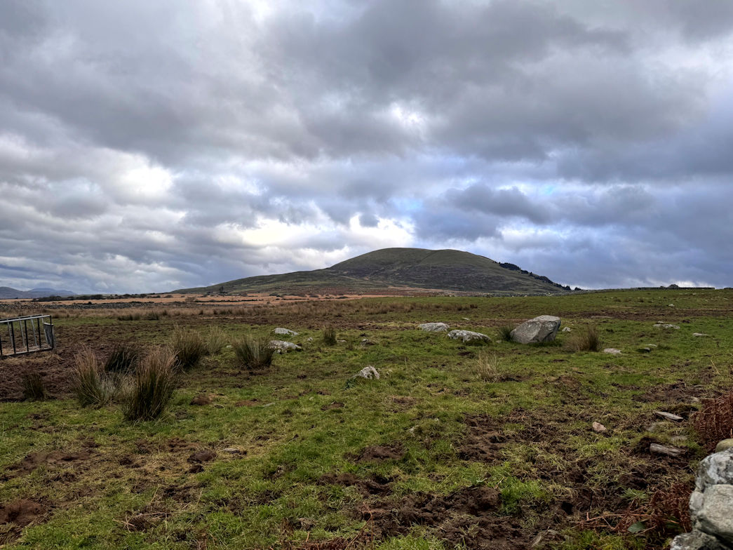
A good weeks bagging 08/11/2025
Ten Marilyn’s and two Deweys is pretty good for a weeks walking. Even better when I’ve already met my target for the year so these are a bonus and of course, come off next years list. I’m down to just seven Marilyn’s in Wales out of a total of 159 which is pretty good I think.
Foel Caeberllan 08/11/2025
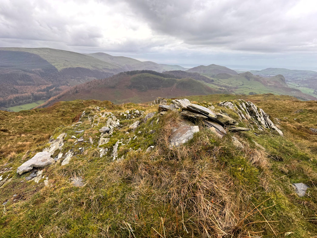
Moelfre (Marilyn and Dewey) 07/11/2025
I parked on the grass verge leading up to Cors y Bedol hall but actually further up the lane was a small car park. Oh well.
The walk starts on a good track which is followed for a couple of kilometres before a gate leads to open and very steep ground. From here it is directly up and tough, gaining 300 metres. As the angle eases, there is a wall to negotiate. As it happens, there is a stile, but on the wrong side of the fence. As luck, of previous walkers would have it, part of the stone wall had collapsed, making it easy to get through. Ignoring the obvious summit dead ahead, I turned right to ascend to the stone piles that signified the high point of Moelfre (589m) and also featured a shelter which I used to get out of the wind for a while.
The summit has excellent views of the coast and also the high points of the Rhinogs (Fawr and Fach). It had taken just over an hour up. Descent was the reverse and I was back at the car 50 minutes later.
Moelfre 07/11/2025
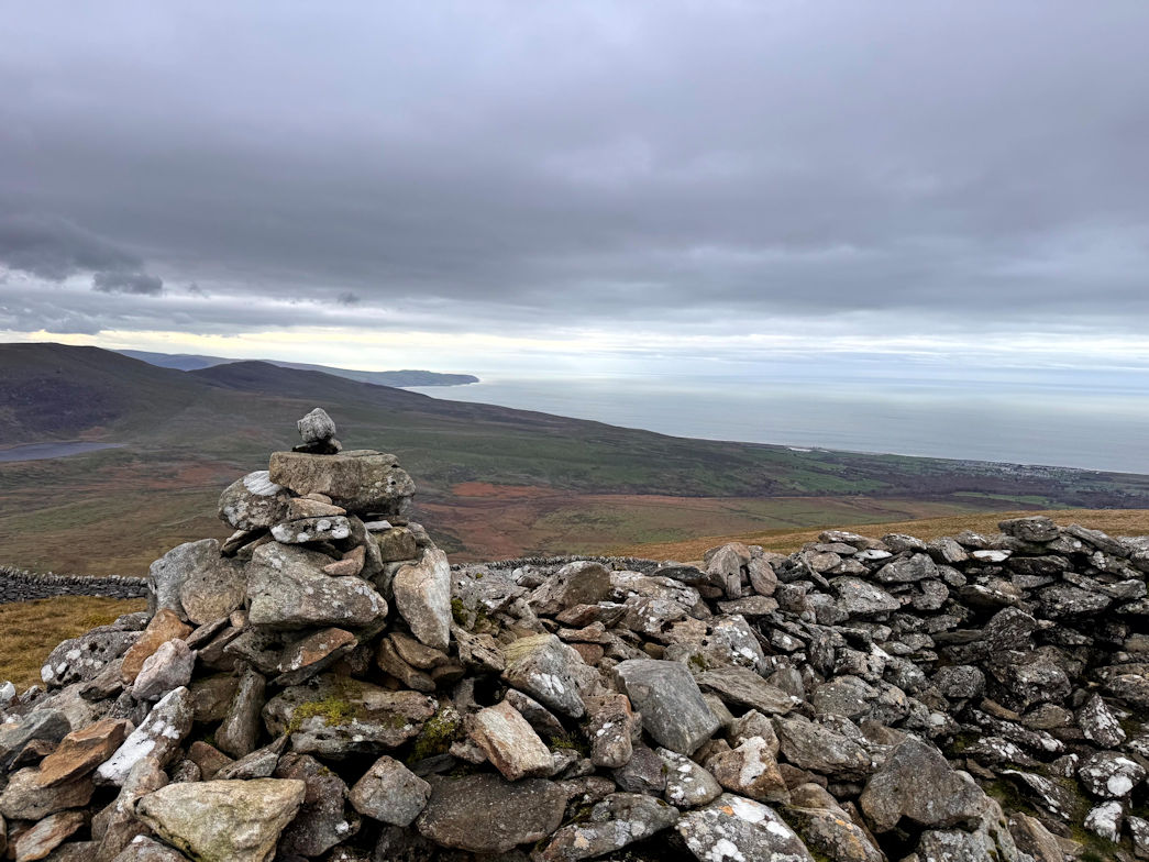
Foel Caeberllan (Marilyn) 06/11/2025
The plan today was to do the Gamallt walk, then drive over and bag Moelfre. Simple enough.
Gamallt and Foel Caeberllan were a 20 minute drive from the hotel and I was soon parked at a road junction (better than it sounds) not far from Castell y Bere. Off I went. A short road section, through a farm yard and onto a track. Within five minutes, my route went up, very steeply up, and didn’t stop going very steeply up for the entire climb. It was so steep in places, I could touch the ground in front of me!
Foel Caeberllan is 380m high, I started from about 20 metres above sea level. I think it was probably the hardest climb of the week, or so I thought!
Forty five minutes after starting, I was on the top. The views were excellent and I enjoyed a few minutes looking around. The weather was also good, I’d done the entire walk in a T-shirt (and trousers of course).
Back down was the reverse and thirty five minutes later I was at the car, but that wasn’t the end, I still had Gamallt (288m) to do. How hard could that be, it’s 100m lower than Caeberllan?
Foel Caeberllan 06/11/2025

Gamallt (Marilyn) 06/11/2025
Turns out, Gamallt (288m) is very hard, even harder than Foel Caeberllan. To access the ridge, there is, initially a good path, which then falters a little before recovering to go directly up. I have to confess to stopping a few times, it was brutal. Finally I gained the top ridge and the small woodland. There is a final fence to cross and into the woods a short way to the, less than obvious summit. I found the high point and claimed it.
Again, the descent was the reverse of the ascent, not quite as hard, but still testing the knees all the way back down. Gamallt had taken me an hour up and down, but it felt much more.
Back at the car, I was exhausted so made the executive decision to abandon the second walk. Looking at the map, it would be a repeat of one of these hills, my legs didn’t have it in them.
After resting for a while, I drove into Abergynolwyn and found a cafe for coffee and cake. My day was done.
Gamallt 06/11/2025
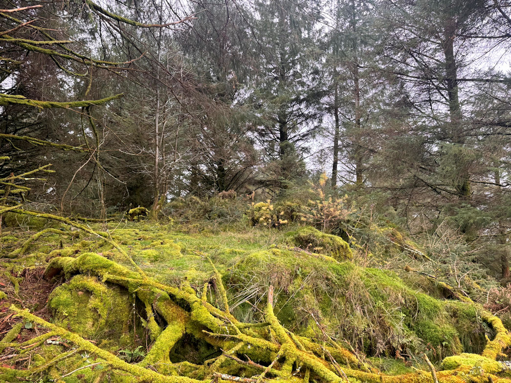
Craig y Castell (Marilyn) 05/11/2025
Carnedd Wen was meant to be the first walk, but the track was impassible at a river - the bridge marked on the map long since gone by the looks of it, so we headed over to Craig y Castell (321m) instead.
Almost thwarted by a road closure, we finally got to the car park which is the starting point for the pony track onto Cader Idris. Our day was in the opposite direction. Initially quite wet, the path soon became very pleasant through a wood and past a lake, then headed up, initially quite steeply, then eased off for a while and near to the summit became a fight! Finally on the summit, the view over to Cader Idris was spectacular.
It was quite windy on the top but thankfully, no rain. We soon headed off, more or less retracing our steps back down, through the wood and back to the car park just under one and a half hours round trip for the 6km walk.
Craig y Castell 05/11/2025
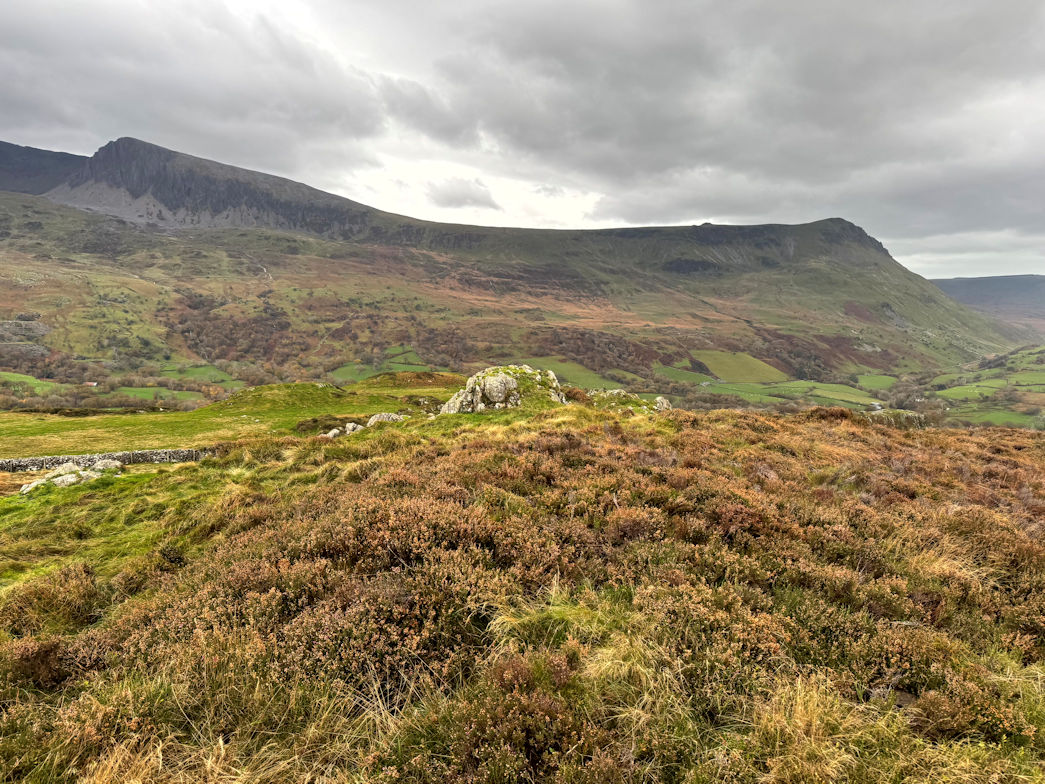
Foel Offrwm (Marilyn) 05/11/2025
Off again and through Dolgellau to a good car park for an ascent of Foel Offrwm (405m).
Again, a good path, initially easy but then very steep and unrelenting right to the summit. Along the way, I passed a bench in an excellent location and marked it in my brain for lunch on the way down.
The summit finally arrived and I was pleased to be there. The Marilyns may not be very high, but they sure make you work!
A brief stop, a few photos and I was off again, making my way down. I did indeed stop at the bench and enjoyed a lunch with a view.
Due to the mornings re-planning and the shorter days, I didn’t stay long as I wanted to get one more hill bagged today.
Descent was quick and I was back at the car just 45 minutes after leaving, but then it was only 3km.
Foel Offrwm 05/11/2025

Fridd Cocyn (Marilyn) 05/11/2025
For the final climb, Fridd Cocyn (313m). I parked outside a farm entrance, having sought and gained the farmers permission.
I’d saved the hardest until last! It was straight up, totally unrelenting for 2km, gaining almost the entire hill height as I started from sea level. Thankfully the track was a good one right the way up, although right at the end I did have to climb over a barbed wire fence to do the final few metres to the actual summit. Excellent views, well worth it, but even better coming back down! A mere 4km walk but hard work.
Fridd Cocyn 05/11/2025
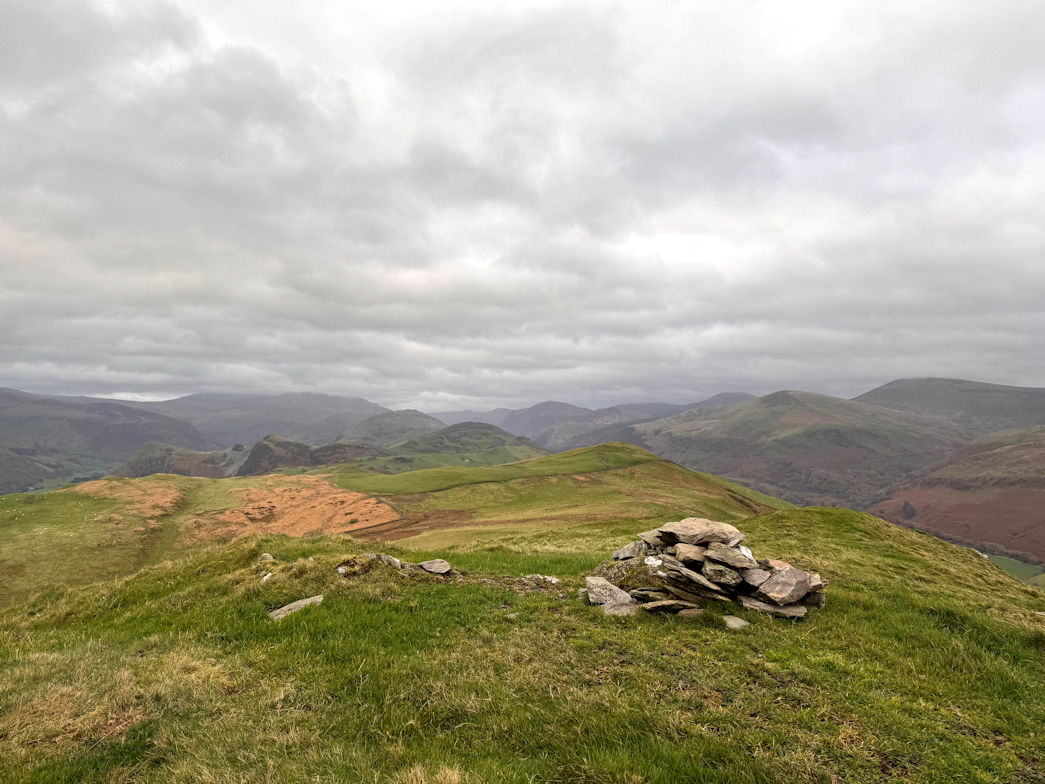
Bryn Amlwg (Marilyn) 04/11/2025
No plan survives first contact with the enemy and it was true today, the enemy being Wales and the weather!
I abandoned Llan-fair Ddu on the grounds that it would be 10 mines on no footpath in the rain with no views. Instead I bought onward Wednesdays itinerary.
First to go was Bryn Amlwg (488m). I parked at the end of a lane that led to the wind farm. The route up was on good tracks and reasonably easy going so I made quick progress. The rain was constant but not stupid. The summit was reached in around 40 minutes. Descent was a reverse of the way up, taking 35 minutes back to the car. Peak one done in 6km!
Bryn Amlwg 04/11/2025
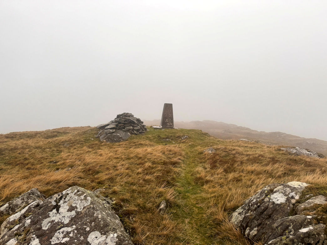
Esgair Ddu (Marilyn) 04/11/2025
My second peak was Esgair Ddu (464m). Parking was on what was technically a passing place on the lane, but with another just 20 metres away, I figured no one would be too worried and the five mile drive along the lane had been uneventful so I doubted there would be too much traffic in the hour or so I needed for the walk.
I headed off well enough on a good tracks that became a better track. As I gained height, the track split but I noticed a way mark arrow so followed that. Near the point at which the track started to run out, I was stopped by some guys in a little off-road jeep. Apparently there was a pheasant shoot! Great, Rosie is scared to death of guns. They also took the time to tell me I was not on the correct footpath (despite the arrows). I acted dumb and they told me to follow the nearby fence to the summit - my plan anyway!
Thanking them I headed off and soon summited. I could see the beaters so did my best to find a route down that would avoid them. I managed okay but it was hard going and very boggy at times but eventually I got back down and walked through the encampment where the beaters and shooters were. They were only having a BBQ! The smell was wonderful and I stopped to chat to one or two before heading back down to pick up the track that would take me to the car. Another 6km walk done.
Esgair Ddu 04/11/2025
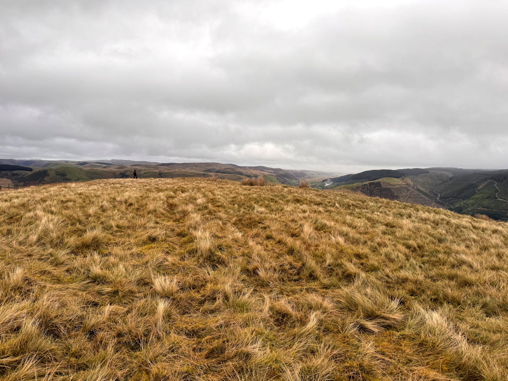
Garreg-Hir (Marilyn) 04/11/2025
It was lunchtime so we had our food, then headed off for the third hill, Garreg-hir (485m)
There was supposed to be a car park at the end of the lane, but nothing doing. The lane went into private land. I turned around and drove back, managing to park on a grassy verge which, in fact, was closer to my destination than the original planned parking.
It was raining heavier now so full waterproofs on and I was away. It was only 2km to the summit so I didn’t bother with my rucsac.
The walk was straightforward, past Llyn Mawr and generally up to the summit. No problem, although the cloud was so low I couldn’t actually see the summit until I got quite close. A quick photo and I was on my way back down. 25 minutes up, 20 minutes down.
4km and the day was done and I was on the way back to the hotel.
Garreg-Hir 04/11/2025
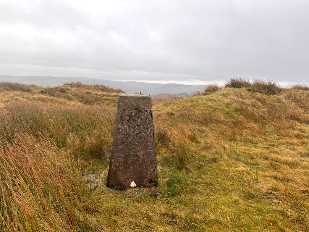
Carn Gafallt (Marilyn) 03/11/2025
I parked at the Elan Valley Visitors Centre which, at £3 for all day was a bargain.
I elected to start in waterproofs as it was drizzling enough for me to be concerned.
My route went out of the car park, across the bridge and up, following a good track. A slight error following a different path which ended in a gate marked ‘private’ so retraced, crossed the stream with some care on the wet stones and then steadily up to meet a lane which I followed for about a kilometre or so before breaking off and up again. Again on a good track I headed up which abruptly ended at a fence. I threw the dog over and quickly followed, continuing up. As I neared the summit of Carn Gafallt (466m), the terrain became more unpleasant with tufty grass and marsh. It was raining quite hard now and quite horizontal.
Soon enough, the summit came, a brief stop and I was off. It seemed like a long way down, but the track was good all the way down to the road.
Carn Gafalt 03/11/2025
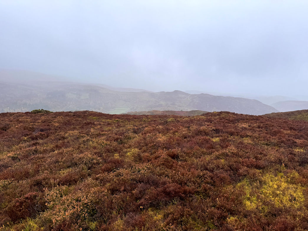
Y Gamriw (Dewey) 03/11/2025
Along the road for a while before breaking off on another good path which gained height rapidly i.e. it was steep!
Eventually I had to leave it and head more directly up. Initially the going was good but still uphill. Just as I was thinking it would be a good walk over to the summit of Gamriw (604m) the terrain took a turn for the worse and it became much tougher. Combined with driving rain - head on, my sense of humour was suffering somewhat and I was pleased to reach the summit. I was doubly pleased that there was a shelter which I could go inside - no roof, but no wind either.
I had a quick lunch but began to chill so packed away and set off. It seemed like a very long way back down and, trying to take a short cut, I reached the lane I had walked up at the start. Following it down, onto the track and over the stream I was soon back at the car park, wet but happy it was done. 18.5km, one Marilyn and one Dewey for the collection.
Rather disappointingly, the cafe was closed when I got there, so I left, stopping at a Greggs on the way to the hotel for a celebratory coffee and sausage roll.
Y Gamriw 03/11/2025
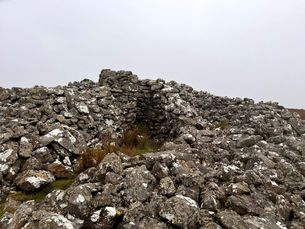
Dunkery Beacon 10/10/2025
A big day today, no less than three Marilyns which, as experience has taught me, requires some mileage!
I started at the foot of Dunkery Beacon (519m). It was misty but not actually raining. I figured I’d start in my waterproof jacket as otherwise I would get wet without noticing it.
The summit took just twenty five minutes on good tracks, but there was no view to be had so a quick photo and I was off.
Dunkery Beacon (519m) 10/10/2025
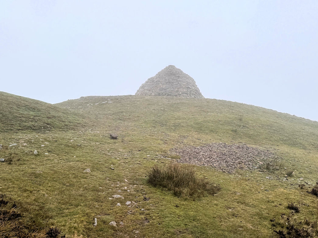
Selworthy Beacon 10/10/2025
As I descended I dropped below the cloud base and could see my next destination: Selworthy Hill (308m) ahead. Being about 200m lower than Dunkery it looked easy. Unfortunately, the path took me virtually to sea level so I had the entire height to climb. The route down was a mixture of moorland path, some road and some forest track, but always pleasant and easy going. It warmed up enough to remove my waterproof which then stayed off all day.
My walk took me through the NT owned Holnicote House and out onto the A39 which I followed for a very short way before crossing and heading into woodland. From here, it was 250m of height gain without relief and I was very pleased to reach the open ground of the final ascent.
The view across the Estuary made it worthwhile, being able to see to South Wales and up the Estuary to Flat Holm where the lighthouse is.
Selworthy Beacon (308m) 10/10/2025
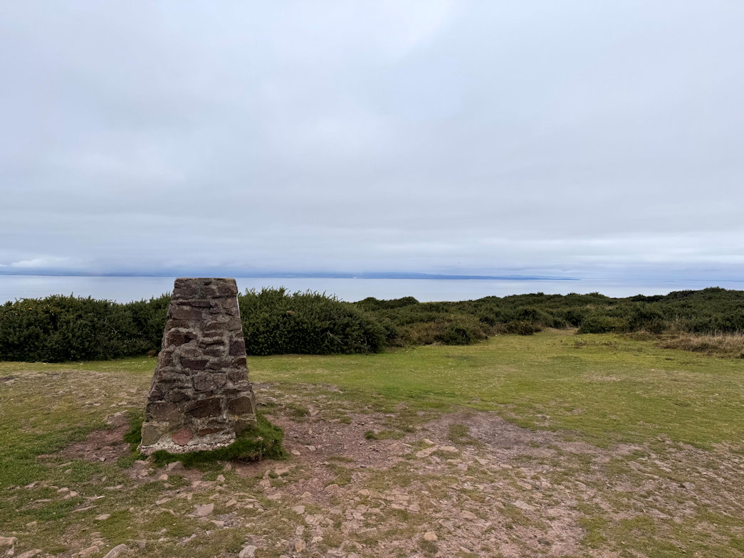
Periton Hill 10/10/2025
My final hill of the day, Periton Hill (297m) was also visible and I set off across more open moor, track and path took cross the A39 again and head into more woodland. Once again it was uphill all the way to the summit, but in this case, steep at first but soon easing off for the final kilometre.
At the trig point which is set off the path a little, I decided it was lunchtime and as I was well ahead of schedule, decided to have a slow lunch and enjoy the countryside. The trig point made an excellent seat and was a tough decision to make a move, but the final section wouldn’t get any closer sat there!
Off we went on the good track which we followed all the way down to Dunster. I have to say that the paths are very well marked here, so, getting lost would require some effort!
Towards the end, there are choices for arriving in Dunster. Not being sure of which was best, I elected for the Cemetery approach. It seemed the most amusing.
Following a few back lanes and through the village gardens we arrived in the High Street and made our way to the meeting point of the market place, then on for coffee and well deserved and earned cake.
Twenty one kilometres in 4 1/2 hours with 621m of climbing. Three Marilyns, one of which is also a Dewey made for a satisfying day out.
Periton Hill (297m) 10/10/2025
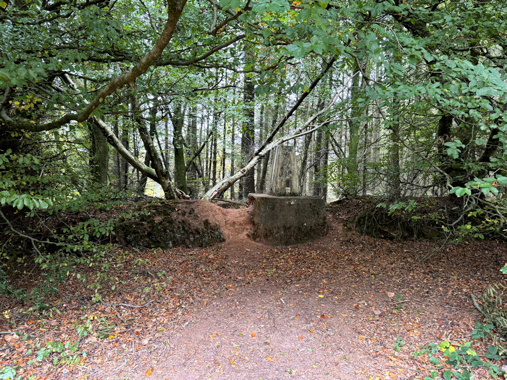
Quantocks Success 09/10/2025
There is a handy car park at the foot of Lydeard Hill, although ‘foot of’ is something of an overstatement as it’s less than 50m of climbing to the top of Wills Neck(386m)! Be that as it may, my destination was a little further away. It’s a very pleasant walk on a good path in more or less a straight line.
A trig point marks the actual summit. It took me just 25 minutes to get there so I took a slightly scenic route back, reaching the car park just one hour after leaving it. Despite the lack of obvious hills, my watch recorded 110 metres of ascent with a total distance of 5km.
Wills Neck (386m) 09/10/2025
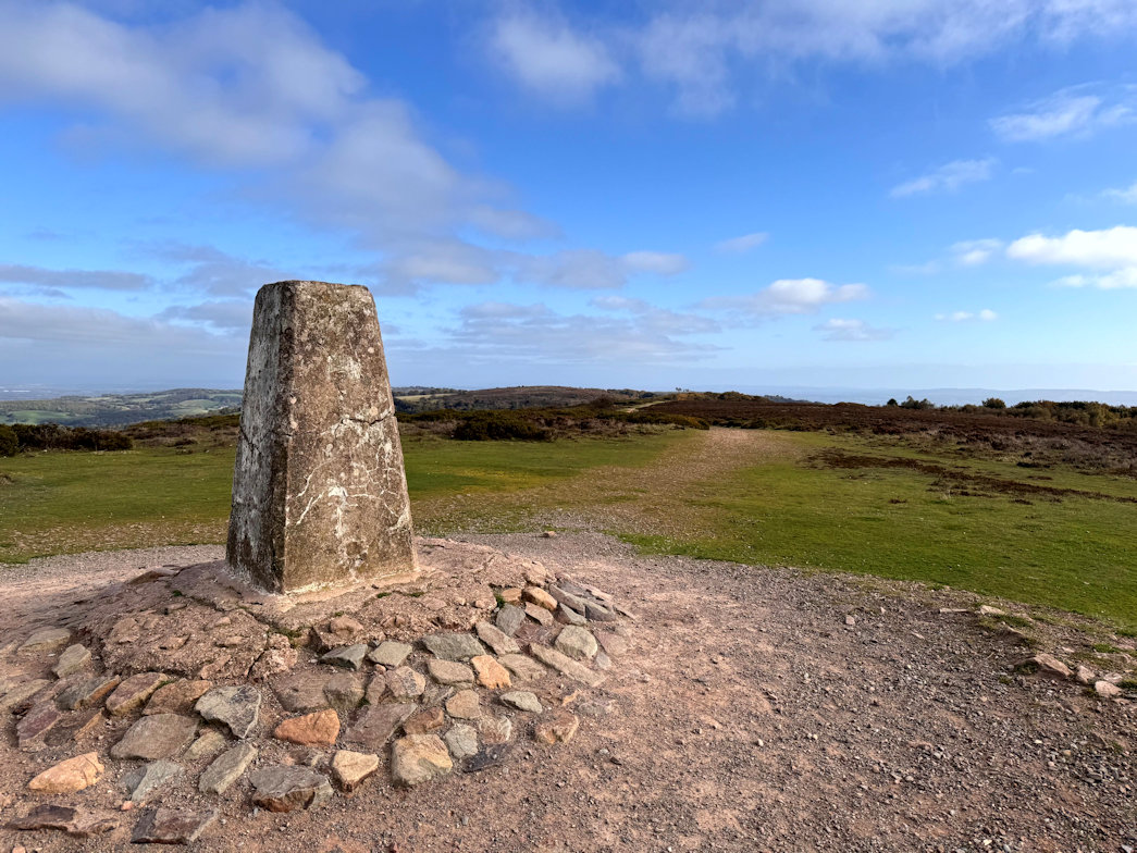
Elan Success! 04/10/2025
On my way home, I reflected on the weeks walking, which by any standards was a success. Nine Marilyns and Severn Deweys, bring my 2025 totals to sixty and thirty respectively. A total of 77.5km walking and 3,756m of ascent during the week. No wonder today is a rest day!
Pegwn Mawr 03/10/2025
Storm Amy was the big news of the day. My plan was to leave early, get the walk done and be back before it hit. Well it didn’t quite work but I think I missed the worst of it.
I parked on a forest track, just wide enough to get my car in and still allow any vehicles to pass, however unlikely it was.
Pretty much the entire height gain was achieved in the first couple of kilometres as the track headed up very steeply right from the get go. At least it was a good track.
Once on the main ridge area and into the wind farm, my waterproof jacket came out. It wasn’t actually raining but the wind was blowing rain droplets across the hill and I figured I would get wet before I I noticed it.
Once in the wind farm, it was a short distance to the summit of Pegwn Mawr (586m), signified by a rather sad looking trig point. I didn’t linger, but set off for the second hill of the day, Crugyn Llwyd (571m). It was in sight across a wide open moorland. No paths of course so I made my own, including traversing a marshy area which, thankfully was fairly dry.
Pegwn Mawr(586m) 03/10/2025
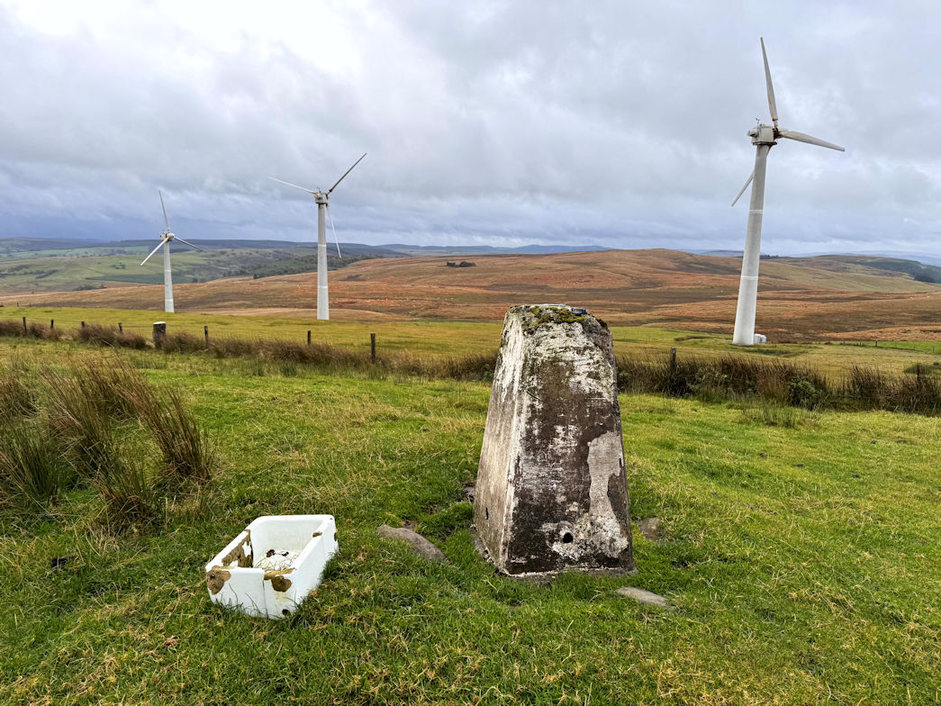
Crugyn Llwyd 03/10/2025
By now, it was properly raining but I pressed on, keen to get the second summit of Crugyn Llwyd (571m) and head off. This one had no summit marker so I found the high point, checked the map and headed off down to pick up a good track. To get there I needed to cross a couple of fences which required Rosie to be lifted over but we got down and followed the track to join the Glyndwr Way for several kilometres including a very steep downhill that really tested the legs.
Eventually we parted company with Glyndwr and walked the last 500m or so back to the car.
A total of 11km, 570m of ascent in a shade over 2 1/2 hours, giving me 1 Marilyn (which was also a Dewey and 1 Dewey in its own right.
Crugyn Llwyd (571m) 03/10/2025
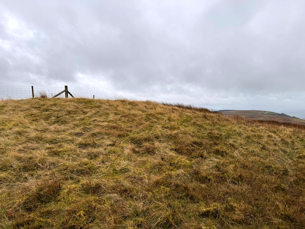
Cefn Cenarth 02/10/2025
After the excesses of yesterday, I decided on an easier day today, well, they all have to be done and some are going to be easier than others.
There is a small track leading off a small lane at the base of the Cefn Cenarth nature reserve. About 100m along it, there is a small car park, probably enough for five or six cars - mine was the only one. The track to the summit is quite a good one, slightly overgrown near the top but nothing to worry about. The nature reserve summit isn’t quite the actual summit so I had to climb a fence and cross a field to get to the actual summit of Cefn Cenarth (460m). A nice touch at the nature reserve top are some boards showing the location of other mountains. I had some fun recalling which ones I had done (mot of them).
The total distance today was just 2.5km with 135m of ascent in a shade over one hour.
Cefn Cenarth (460m) 02/10/2025
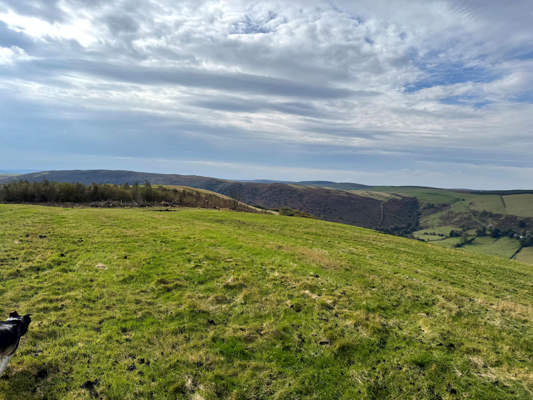
Droscol and Llechwedd 01/10/2025
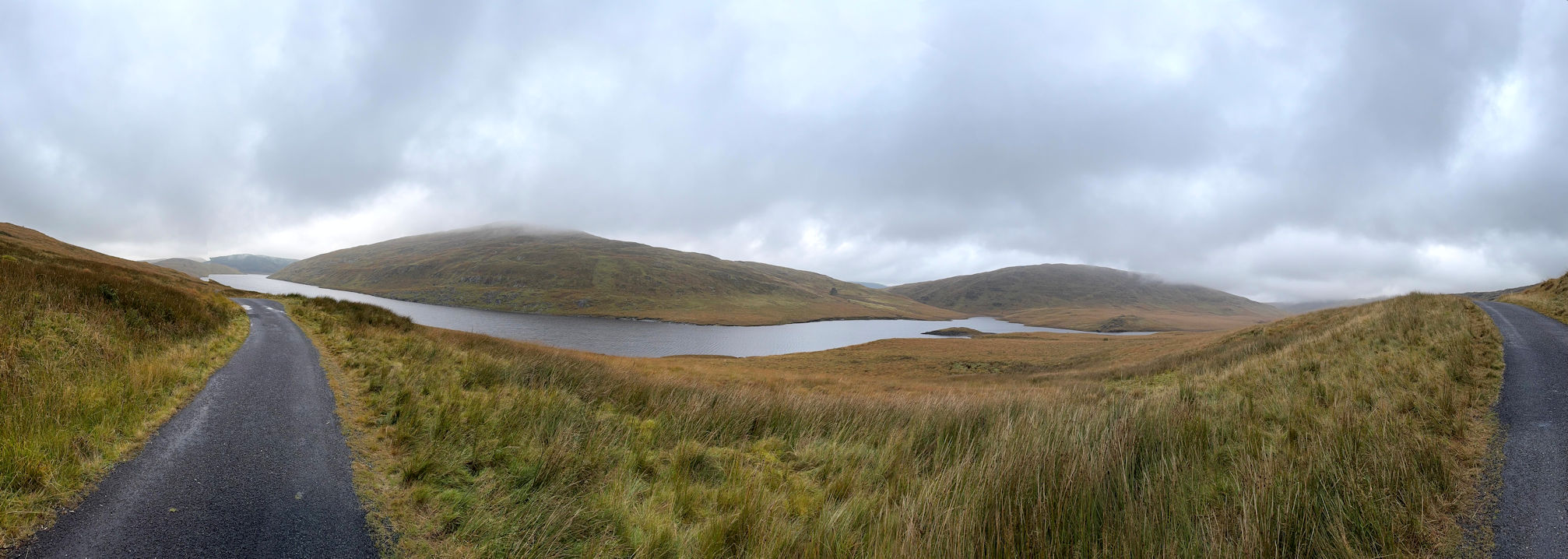
Banc Llechwedd-Mawr 01/10/2025
I parked at the dam at the Southern end of the Nant-y-moch reservoir in a huge car park. I was the only car there!
My route followed the Eastern side of the reservoir along a tarmac road which eventually became a stony track and then to marsh land as I crossed to a footbridge.
From there it was directly and very steeply up Banc Llechwedd-Mawr (560m). The mist that had covered the summit had began to clear and as I set foot on the top, was gone altogether. There is no trig point, but a quartz rock has been placed there, carved into the shape of a trig point which was nice. It had taken one hour and twenty minutes.
Banc Llechwedd-mawr (560m) 01/10/2025
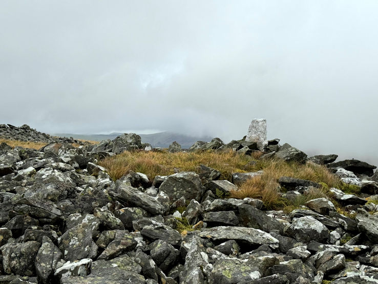
Drosgol 01/10/2025
I headed off in the direction of my second peak of the day, Drosgol (550m) which required a huge descent to a stream, crossed by a thoughtfully placed bridge, then with 200m of ascent I made my way to the summit. There are no paths, occasional sheep paths but nothing that would indicate the passing of humans, so I did my best, finding my own route and eventually arrived, somewhat breathless at the summit. It had taken one hour from the previous summit. I decided a rest would be in order, so took advantage of the stone shelter for a drink and some food.
Drosgol (550m) 01/10/2025
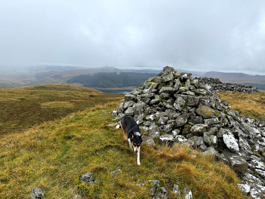
Disgwylfa Fawr 01/10/2025
From here, it was another long descent, no paths and lots of tufty grass to sap the leg strength. Finally I got down to another footbridge, crossed that and climbed up to the road. There was a long road walk around the Western side, but finally I came to a track leading off which I followed for a while. My ‘get off’ point was yet another footbridge, where I stopped for a while for lunch.
That done, it was 150m of ascent to the summit of Disgwylfa Fawr (507m). It wasn’t too bad, I could follow some sheep tracks that trended upwards, then break off for some steep ascent to the next track and so on up to the summit. Nothing at this one, except a pile of stones so I moved on almost immediately.
There was definitely a sting in the tail with a long descent over very tufty grass, sapping what final dregs of strength I had left. a final bridge and a final, or so I thought, climb to the road.
Great, all I needed to do was to follow it back to the car park- true, but it went up and down like a roller coaster and took me around 45 minutes to get back to the car.
I climbed three hills, all of which qualify as both Marilyns and Deweys so six boxes to tick. My total distance was 24km with just over 1,000m of ascent, all accomplished in five and a half hours.
Disgwylfa Fawr (507m) 01/10/2025
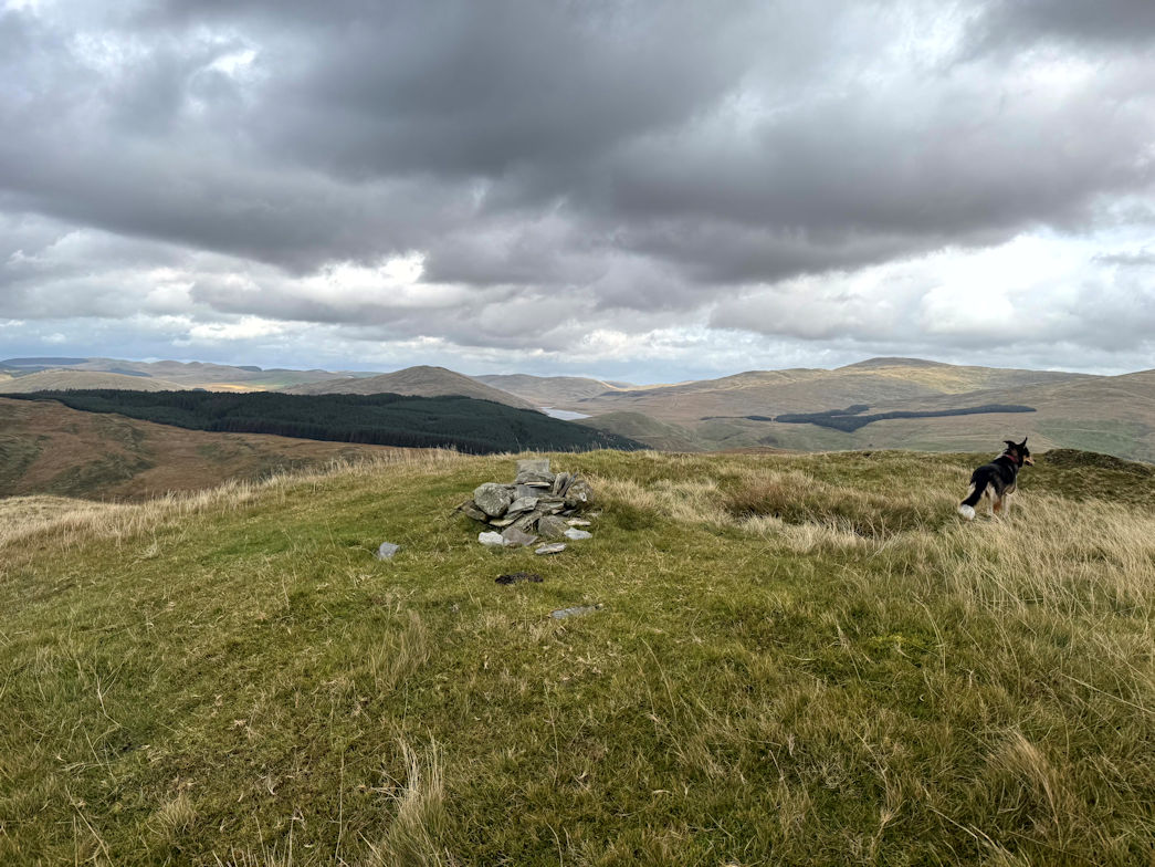
Bryn y Fan 30/09/2025
To make a decent walk I parked at the Bryntail Lead Mine at the foot of the Clywedog Dam and walked around the base of Bryn y Fan to the Bwlch y gle dam from where I made my ascent.
The track from dam to dam was a good one and the path to the summit, another good path so reaching the summit was probably the most straightforward of all the walks this week so far.
The summit views across the reservoirs was excellent but I could see rain approaching so didn’t hang about long before retracing my steps to the Bwlch dam where I found a picnic bench to have lunch. By now it was raining but only light drizzle. Luckily the.bench was under a tree so sheltered.
That done, I headed off to retrace my steps to the car park, at one point, picking up Glyndwr’s Way footpath which I followed back to the car.
1 Marilyn done, 11.5km walked with 500m of ascent in just under three hours.
Bryn y Fan (482m) 30/09/2025
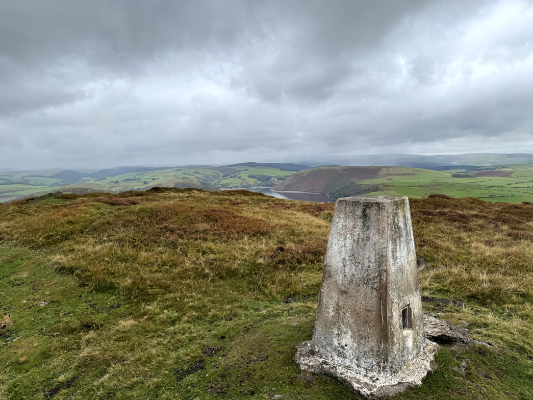
Mist in the valley 29/09/2025
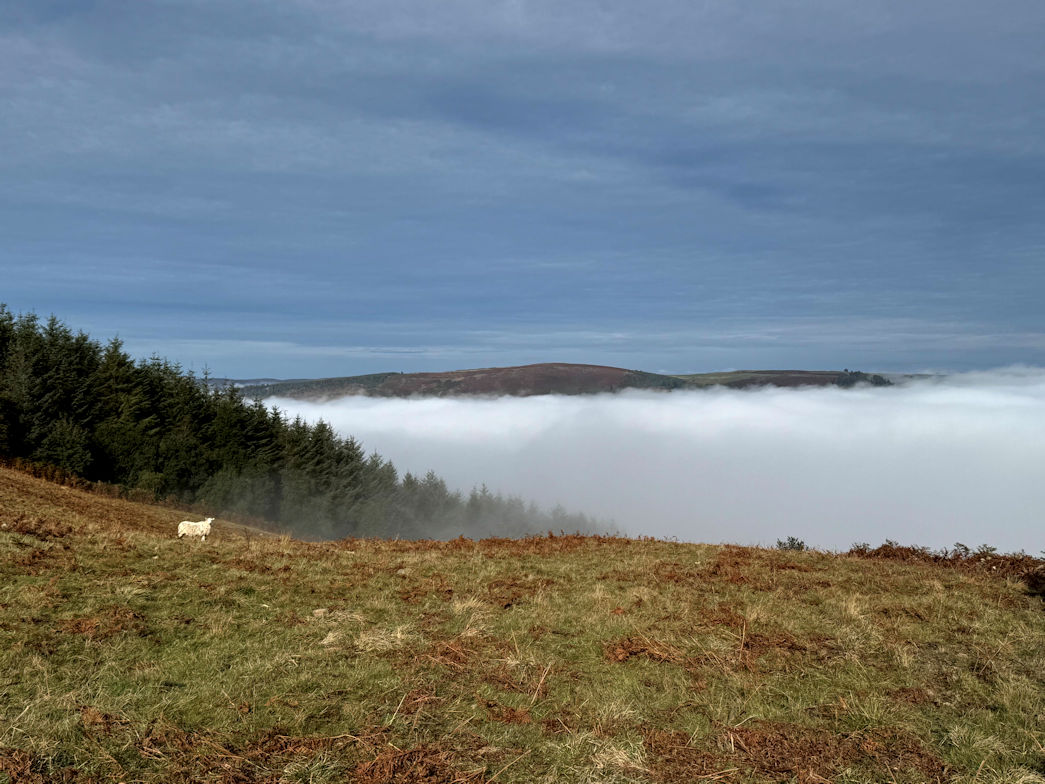
Rhiw Gwraidd 29/09/2025
A fairly easy day today, although it started off misty which didn’t bode well for the summit view.
Parking up at Bryn Canol in a good parking area, I headed off down the forest track, making good progress. Eventually it split into two, my route took the right fork and onto a much more grassy path, but still good. Some way along there, I took a left fork into the woodland on a thin very overgrown track which led me up to a gate and into a field. Steeply up to the far corner, another gate and into more woodland. The track was a good one and short lived before I emerged onto open ground and had the joy of now reaching the top of the mist layer. The sky was blue and everywhere around, the mist hung in the valley but here it was clear.
The field was a steep one and I gained almost 100 metres before reaching a final fence near to the TV mast. In the corner someone had removed the barbed wire which made for a convenient way across. I headed up on what I thought was the final section, but on reaching flatter ground, consulted my map to see that the actual summit of Rhiw Gwraidd(422m) was another 100m or so. It was only a matter of a couple of metres higher but a summit is a summit and it had to be done. Just 45 minutes after leaving the car I was stood on the summit of my 54th Marilyn this year and 267th overall.
I enjoyed the view for a short while, then made my way back down, retracing my steps all the way to the car.
1 Marilyn in the bag, 6km walked with 274m of ascent in one hour and twenty three minutes.
Rhiw Gwraidd(422m) 29/09/2025
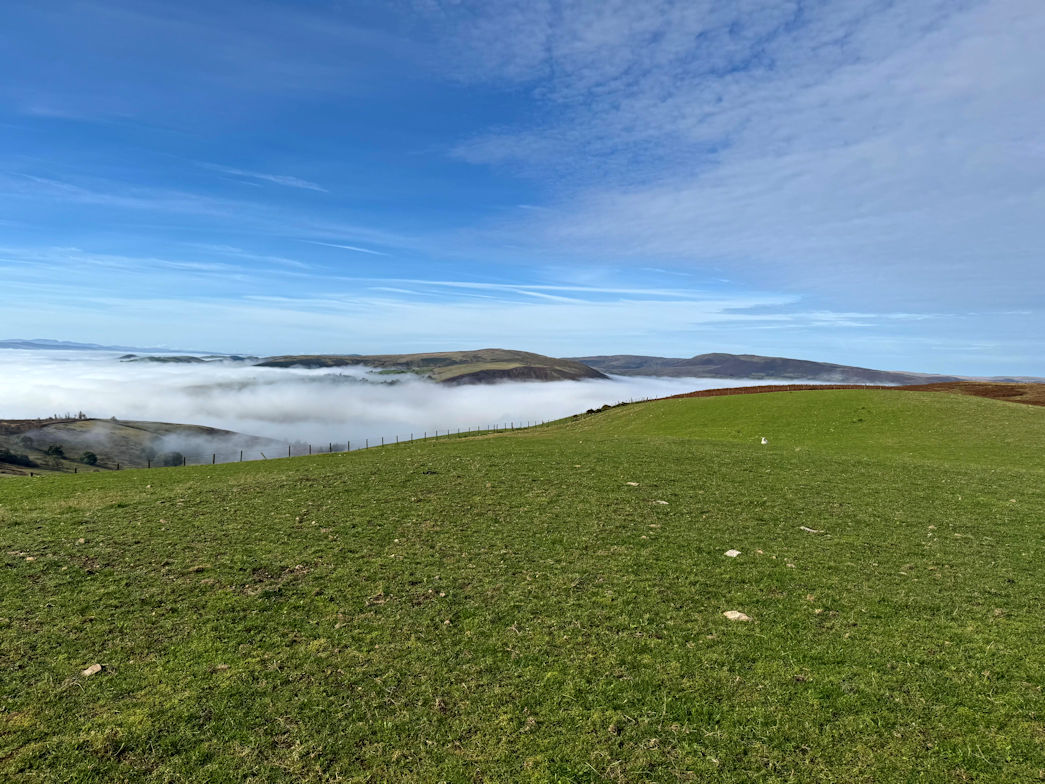
Gwastedyn Hill 28/09/2025
It was supposed to be an easy day. The start of the walk was literally out of the front door, and so it was, unfortunately the 3km version was a non-starter due to being far too overgrown!
Plan B involved following the River Wye to Llanwrythwl then crossing the main A470 onto a farm track and up.
The walk along the river was very pleasant and nicely avoided walking alongside the main road.
The farm track led up to a farm, oddly enough, through that and via various fields and tracks, I came to the end of the tracks, the only way upwards was to negotiate a small quarry which I did. This bought me to a good path which led to a forest track. That wound its way up through the trees and finally onto a very thin track - marked with equal enthusiasm on the map, but very much thinner and considerably more overgrown. Copious gorse bushes needed to be negotiated. At one point I had to carry Rosie as it was just too thick.
This took us upwards to the edge of the forest where a couple of barbed wire fences temporarily blocked progress. I soon hopped over, as did Rosie and we made our way up the final slopes to the summit of Gwastedyn Hill (477m), a Marilyn.
A brief stop for refreshment and we started back down, electing to follow our upward route as it seemed safer than trying to final an alternative.
Soon back on the A470, we crossed it and enjoyed a final stroll back to the cottage along the river. Rosie took the opportunity of taking a bath, which given that she’d rolled in something pongy, was well overdue.
1 Marilyn in the bag, 12.5km walked and 377m of ascent in a shade over three hours.
Gwastedyn Hill (477m) 28/09/2025
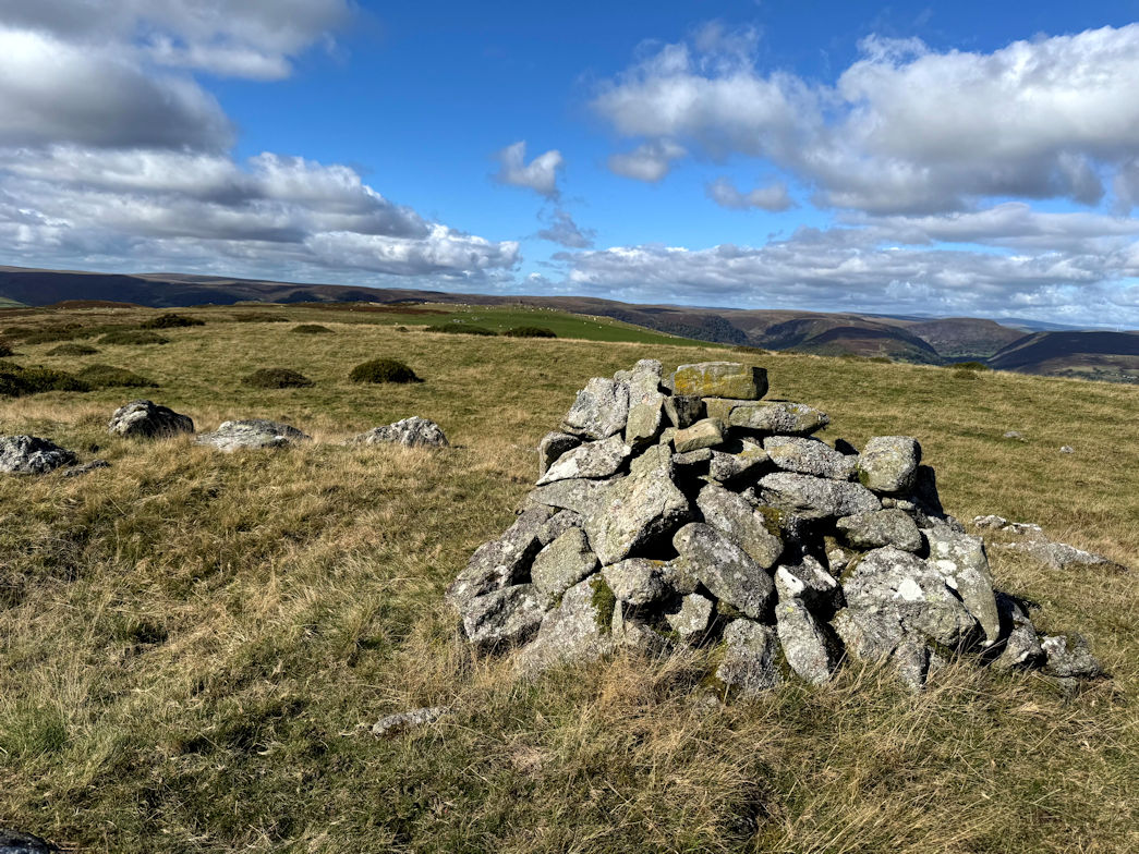
Garreg Lwyd 27/09/2025
I parked at the Gilfach nature reserve. Boots on.
Garreg Lwyd (499m), my first Marilyn of the trip was exactly opposite rearing up. Most of the climbing is done in the first kilometre which is both good and bad. As the ground eased off, I could see the summit ahead but elected to follow a path that initially headed at 90 degrees to the direction I needed to go in. Eventually I broke off the path and headed in the right direction over tough tufty grass, finally reaching an open meadow and onto the final slope.
The summit is not marked, well there were a few stones I made into a cairn.
Garreg Lwyd (499m) 27/09/2025
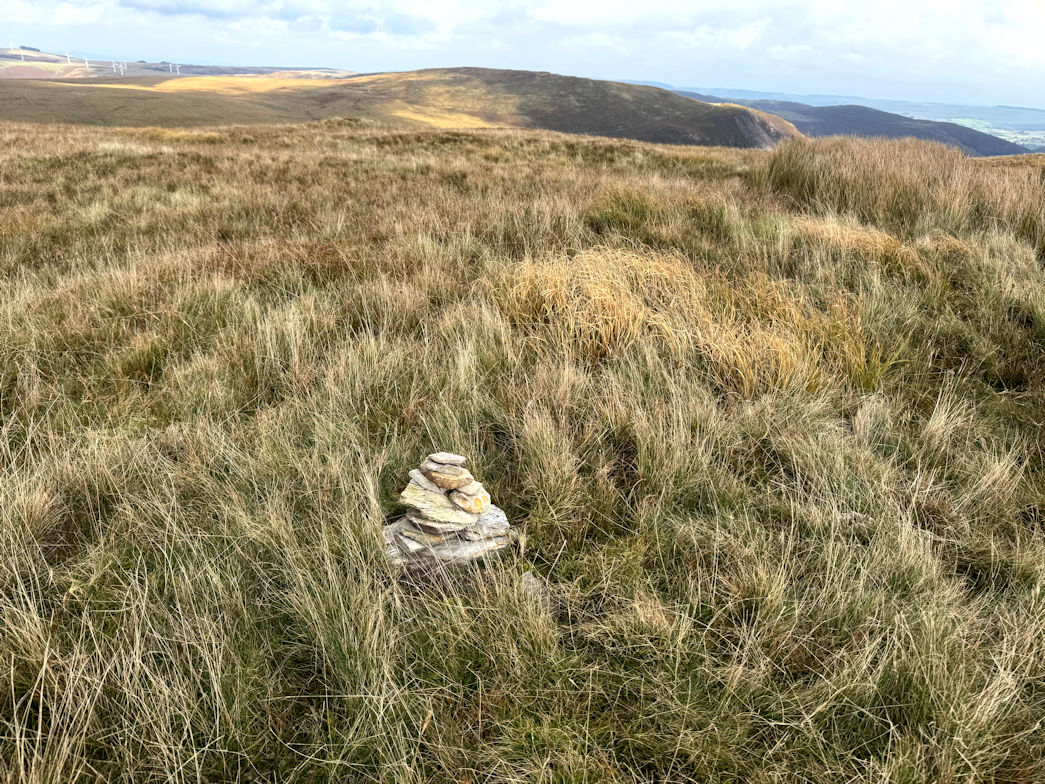
Moelfryn 27/09/2025
From Garreg Lwyd, down past the wind farm and onto a good track that led down to the main A470 which I crossed and followed a narrow lane which picked up the Wye Valley Walk. This lasted a kilometre or so before I turned onto open ground and followed the good track upwards.
After gaining a couple of hundred metres, I turned off and up the very steep slope that led up to Moelfryn (522m), a Dewey. Again nothing to mark the summit so I found the high point, claimed it and headed off.
Moelfryn (522m) 27/09/2025
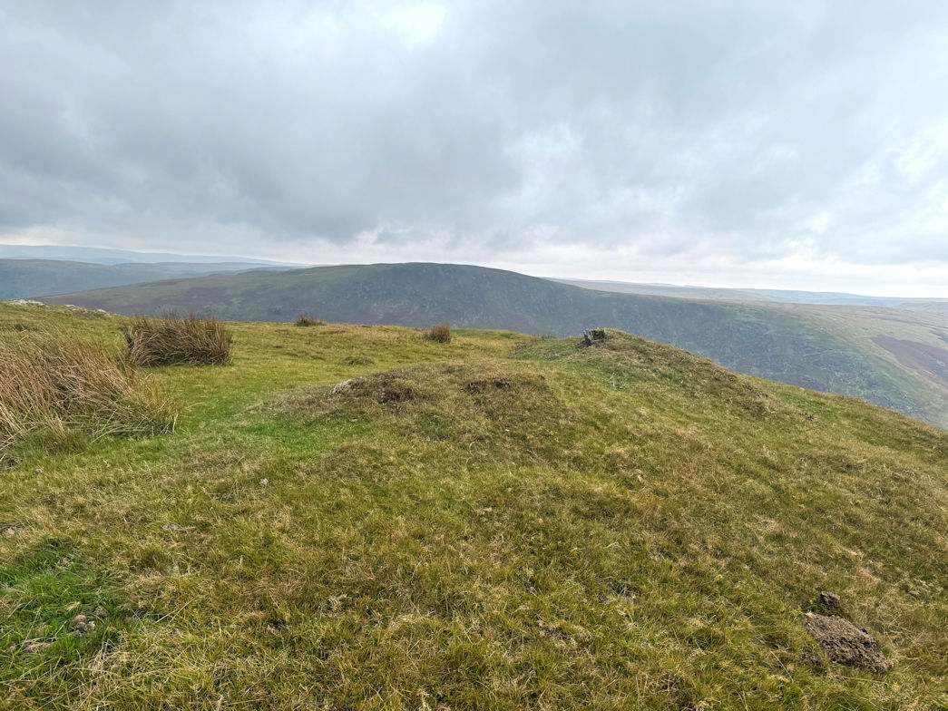
Penrhiw Wen 27/09/2025
Shortly I stopped for lunch and to review my ongoing plan. I decided the final peak would be an up and back, then pick up the good path that led down to the valley. This I did and soon arrived at the summit of Penrhiw Wen (520m), another Dewey and quite unremarkable.
Retracing, almost, I joined the path which took me down to the valley and I again joined the Wye Valley walk, crossed the small footbridge over the Wye and within a couple of minutes back to the car.
1 Marilyn and 2 Dewey’s in the bag, 16.5km walked with 900m ascent. One hour of rain in a four hour day, not bad for the first day.
Penrhiw Wen (520m) 27/09/2025
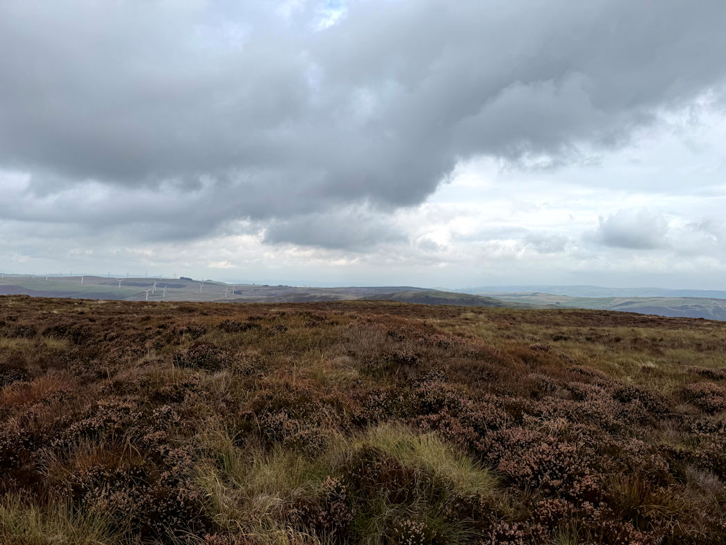
Shropshire Way Stage 1 13/09/2025
In no particular order I am walking the stages of the Shropshire Way. Today I tackled the remaining 15km of Stage 1. I'd already done the bit from Shrewsbury to Lyth Hill, so picked it up there.
Excellent morning walking through the countryside on lanes, field paths and tracks. Around lunchtime, the predicted rain showers started and continued for the rest of the day.
My route took me to Bridges, a hamlet literally in the middle of nowhere. From there I had another 10km over the Long Mynd. 4km steadily uphill, a bit of flat, then 4km downhill! Very tiring at the end of the day, but done.
Shropshire Way 13/09/2025
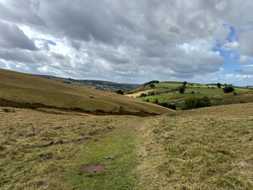
Pen y Garn-goch (487m) 10/09/2025
The main goal today was an ascent of Pen y Garn-goch (487m). It was short drive from the hotel so I was soon parking in Llanwrtyd Wells.
Heading off, once again, it started off quite steeply as I made my way through farm fields and open land, eventually onto a forest track that would take me more or less to the summit. Steadily upwards I made good progress. Unfortunately it had been raining more or less since I got out of the car and getting worse.
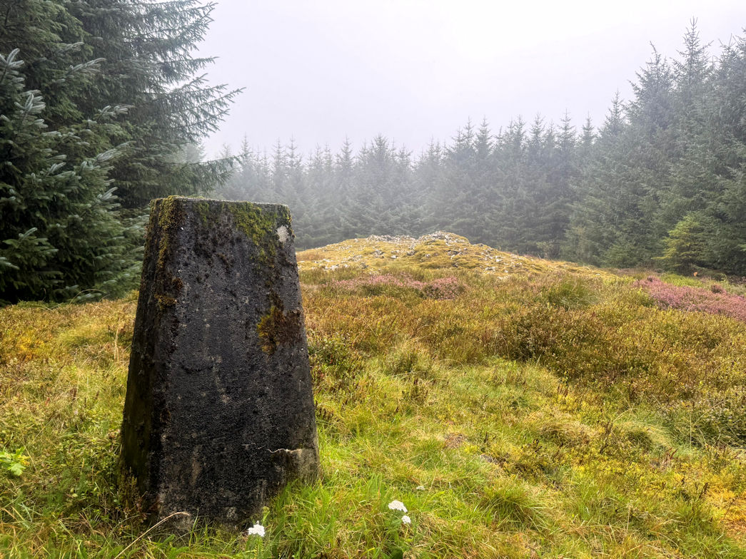
Eventually the track led into a forest and I began to look for the small path marked on the map that would take me through the trees and out into the clearing that held the trig point. Of course, no such path existed so I followed the main track around the summit area, hoping for a break in the trees. As I walked, I noticed the trees were fairly well aligned so I figured I could find the nearest point to the trig point and head through.
Figuring I was at about the right point, I found a gap and headed through and upwards on a reasonably good line. There was one final set of tree branches that I forced through and emerged into the clearing, the trig point right in front of me! Happy with the navigation I ascended the final 10m or so to claim the peak.
The rain was coming down heavily now so one quick photo and I was off back down the way I came. Due to a couple of lapses in concentration I missed a couple of turnings but soon retraced, eventually emerging back into Llanwrtyd Wells and a short walk to the car, job done.
First Marilyn of the day, 15.5km walked with 522m of ascent.
Pen y Garn Goch 10/09/2025
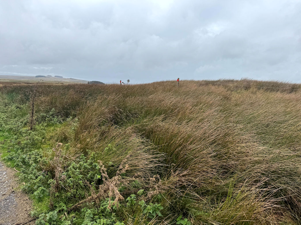
Mynydd Epynt (478m) 10/09/2025
The plan was to drive over to Mynydd Epynt, a very short walk, but on an MoD firing range! As I drove up, I noticed the red flags flying which meant firing may be in progress. I parked within about 400m of the summit and unable to resist, I jumped out of the car and headed up a tarmac track to the summit.
One quick photo and I was back down in under 15 minutes. I didn't bother to record my time or ascent as it was trivial, but I claimed the peak with the argument that it's swings and roundabouts and after a hard few days, I deserved an easy one.
Mynydd Epynt 10/09/2025
Pen-crug-melyn (326m) 09/09/2025
I’d originally planned to park just off the road and make a quick ascent up the farm track. It had taken me about 40 minutes to drive so I decided to park a little further away to make it a slightly longer walk.
There was a forest track with a wide entrance so I parked there and headed in. My hope was that I could follow it for a while, then take one of the fire break tracks over to a field, then onto the summit. Of course, there was no fire break - are there ever? Rather than walk all the way back I spied a small track through the woods so followed it. Within a few minutes I was out the other side and via two fences, came to the footpath I would have followed. The trig point was very close, but the way barred by a barbed wire fence. I threw (lifted) the dog over and followed.
There’s nothing at the summit so we headed off, looking for a better way out and soon spotted a gate! Through that and back I decided I would take the road way back rather than climbing more fences.
First Marilyn of the day and just 3km walked with 46m of ascent.
Pen Crug Melyn 09/09/2025
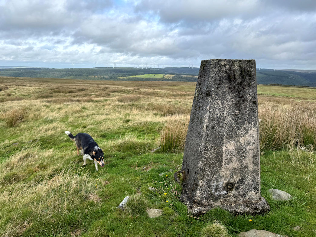
Mynydd Cynros (329m) 09/09/2025
Near to Tally Abbey there are a number of small parking spaces. I found one right on the start of the walk. We headed up on a good forest track. My plan was to walk through the forest, pop out at the top for the short walk to the summit. It worked well until we encountered some fallen trees. No problem, I hopped over them. More followed, and more after that, some even requiring me to remove my rucsac to crawl under. Finally we emerged onto open countryside and I headed up the final steep field to the trig point at the top.
Coming back down, I took a different track to avoid the forest and we were quickly back at the car.
There is an old ruined abbey nearby so we took a quick look before heading back to the car for lunch and off to the third of the day.
Second Marilyn with 3.5km walked and 225m of ascent.
Mynydd Cynros 09/09/2025
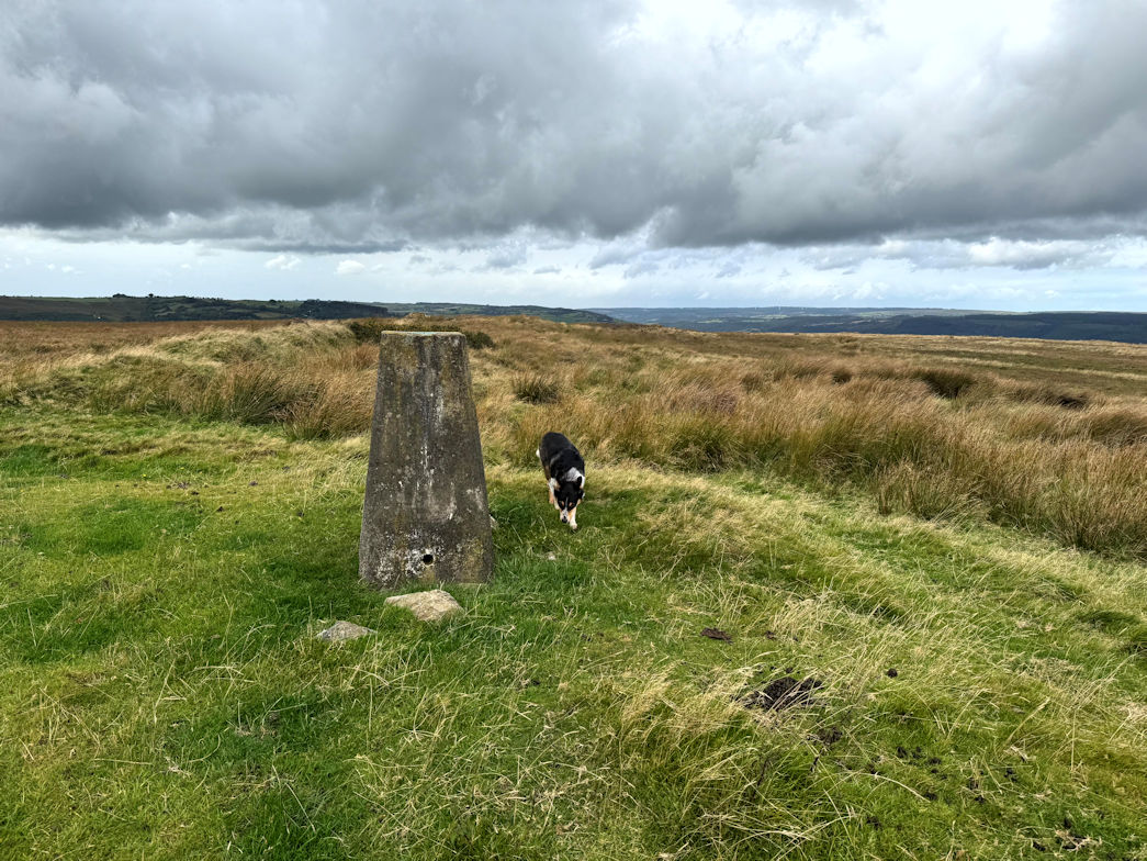
Crugiau Merched (462m) 09/09/2025
This was the big walk of the day. We parked in a car park belonging to the local church. For such a remote church, the car park was big, it would have easily taken a dozen cars.
There’s a short road section before heading out over farm land and onto open ground. The summit is visible from some distance and seems too far but in fact was just over a mile away. The going was mixed, with some paths and some moorland type walking,never arduous and not much height gain - most of the height is gained in the first 2.5km.
It had already started raining and I was already wearing full waterproofs but out on the tops with no shelter and some wind, it felt like it was raining probably more than it was.
Finally I came to the summit, touched the trig point, then headed over to the stone shelter for a break. As I got up to go, I discovered just how good the shelter was! The wind and rain hit me hard and I battled back across the moorland. My new waterproof jacket earning its keep, it kept me dry all the way.
Once we reached the end of the moors, of course, the rain stopped and we headed down in ever improving conditions. It took me an hour and ten minutes up and an hour down.
Third Marilyn of the day with 10km walked and 379m of ascent.
Totals for the day: 16.5km walked, 650m of ascent
Crugiau Merched 09/09/2025
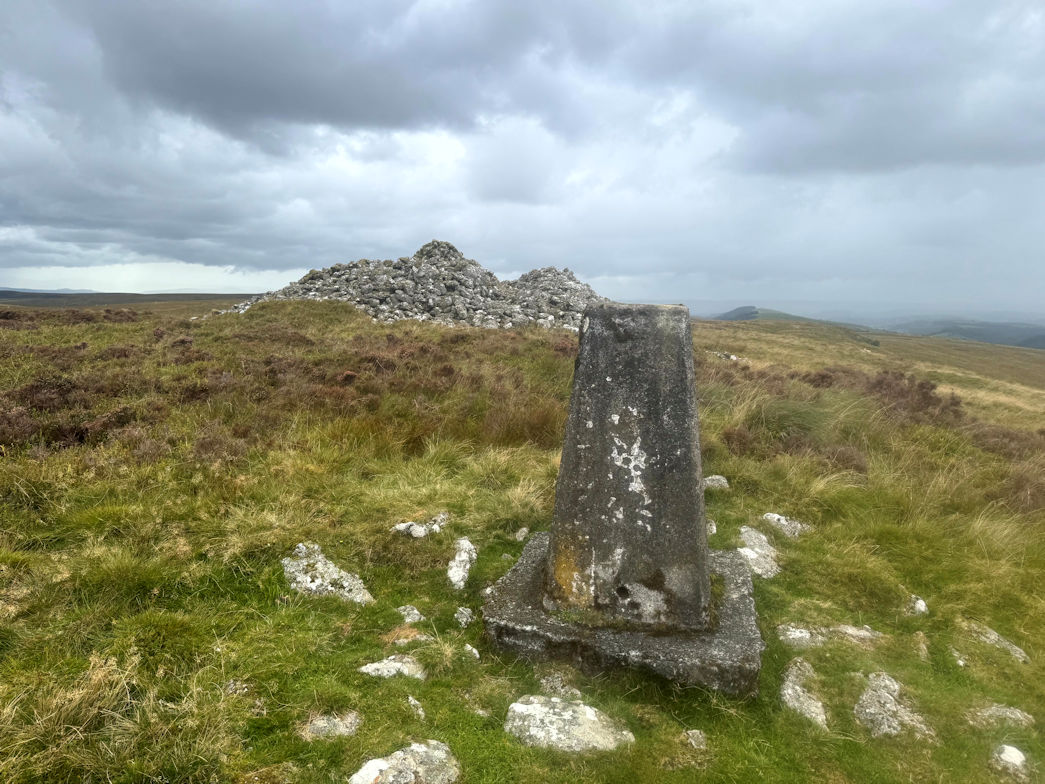
Cefnfford (600m) 08/09/2025
As I approached the car park I had a real deja vue feeling. Pulling in I’d definitely parked at the same place. I checked my website logbook, no date against the hill I was about to climb. Maybe there’s somewhere else very similar.
I set off, I was certain I’d done it, predicting in my head where the path went. I stopped to recheck and eventually, via my blog and map checking discovered I’d done the hill, but logged it under a different name (Craig y Llyn). Oh well, as I’m here…
Up and down on good paths, I was back at the car in just over an hour. Another Dewey for the collection, even though, technically, I've already done it.
Cefnfford 08/09/2025
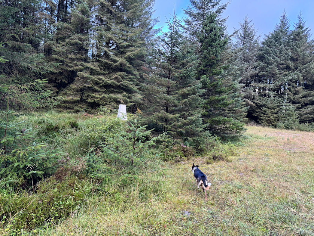
Rhiw ddu (530m) 08/09/2025
The A4069 has lots of small parking spaces. Unfortunately the one I wanted was completely taken over by a film crew. No matter, a few minutes down the road was another.
I set off very steeply upwards until the slope relented slightly but then went up steeply again. This was going to be a tough climb for sure!
All of the altitude was gained in the first 15 minutes, after which it eased considerably as I headed to what I perceived as being the high point. My watch concurred. A couple of quick photos and I was away, I could see some rain clouds approaching.
The descent route was somewhat longer than the ascent as it would have been far too steep. At one point I stopped to put on waterproofs and only just beat the rain. I was wearing my brand new waterproof jacket which coped admirably with the rain.
Back at the car, I decided to wait it out as the rain was blowing over, sure enough, it soon passed, so Rosie and I enjoyed my chicken lunch.
Second peak and second Dewey of the day.
Rhiw Ddu 08/09/2025
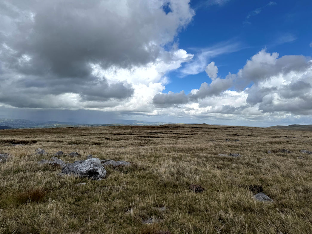
Trichrug (415m) 08/09/2025
I’d planned a nice looped walk, parking at the Carn Goch car park, I initially headed away from the hill, then via fields and farmyards, swung around and began to gain height.
Eventually we came to open land and it was a simple case of picking a good line up to the summit. I spied a line avoiding ferns and made my way steeply up to the summit ridge and over to the trig point. Wouldn’t you know it, on the wrong side of a barbed wire fence but so close, it wasn't worth the effort of trying to climb it, so took a photo, sat down and scoffed a goodie bar and a drink.
The route down initially retraced my steps for a while before turning to the obvious way point of Carn Goch, an ancient settlement site.
I soon arrived and walked through, looking for something interesting. Apart from a pile of stones that looked like a hut, but turning out to be an actual pile of stones, there was nothing much of interest so I continued and was soon back at the car.
Hill three done and the day also done, this time a Marilyn.
Totals for the day: 15km walked, 622m climbed
Trichrug 08/09/2025

Walking
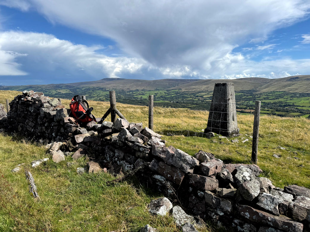
From single day to several weeks, I have walked many of Britains long distance footpaths. Below are some of the more well-known routes.
| Route | Distance | Description |
|---|---|---|
| Isbourne Way (August 2024) | 15 miles | From Cleeve Hill to Evesham. |
| Shropshire Way (August 2023 onwards) | 200 miles | Figure of eight centred on Shrewsbury. |
| Hadrians Wall (April 2023) | 90 miles | From Bowness to Newcastle. |
| Wysis Way (April 2022) | 55 miles | From the Wye to the source of the Thames. |
| St Kenelms Way (March 2022) | 52 miles | Clent Hills to Winchcombe. |
| The Ridgeway (September 2019) | 87 miles | Avebury to Ivinghoe Beacon. |
| Three Choirs Way (March 2019) | 100 miles | Gloucester to Hereford to Worcester to Gloucester. |
| Gloucestershire Way (December 2018) | 100 miles | From Chepstow to Tewkesbury. |
| Severn Way (August 2018) | 210 miles | Following the River Severn. |
| Winchcombe Way (May 2013) | 42 miles | Around the Cotswolds. |
| Limestone Way (December 2012) | 60 miles | Rocester to Castleton in Derbyshire. |
| Welsh 3000s (July 2000) | 28 miles | All 3,000' mountains in Wales. |
| Worcestershire Way (July 1992, Aug 1992, Aug 2004) | 38 miles | Wyre Forest to Malverns. |
| Pennine Way (August 1977) | 270 miles | Edale to Kirk Yetholm (Scotland). |
| Cotswold Way (August 1991) | 96 miles | Bath to Chipping Campden. |
| Coast to Coast Way (August 1990) | 192 miles | Robin Hoods Bay, Yorkshire to St Bees in Cumbria. |
| 6 Shropshire Peaks (July 1990, April 1992) | 40 miles | East to West Shropshire. |
| Lyke Wake Walk (July 1983) | 40 miles | Yorkshire Moors. |
| Offas Dyke (July 1980) | 180 miles | Length of the Welsh Border. |
Rock Climbing
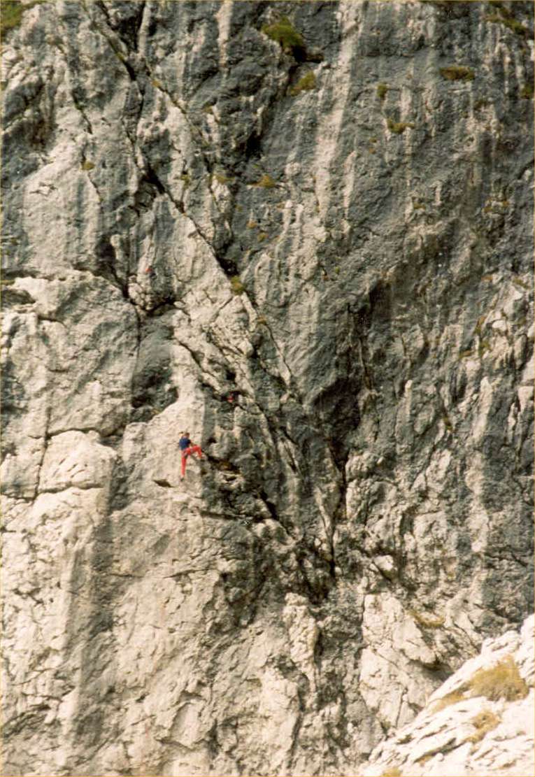
Some years ago, I qualified as an SPA Instructor, and whilst it has probably lapsed due to inactivity, I have fond memories of rock climbing in many areas of the UK & abroad, particularly at Symonds Yat, North Wales, the Peak District, Mid-Wales, Cornwall & Scotland. I have many hundreds of logged climbs in my log book and during my time, have climbed many more than I have recorded.
Mountaineering
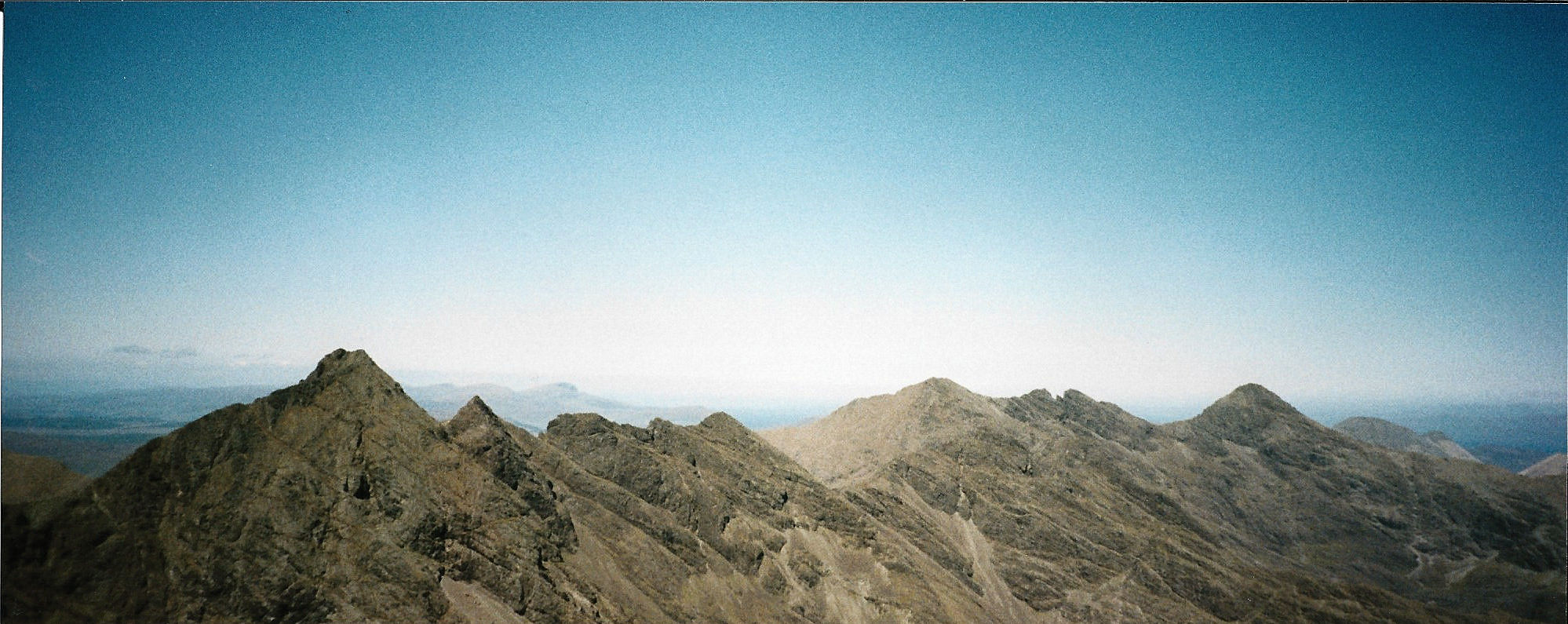
There are many beautiful mountain ranges in the world, many within easy reach of the UK. I am fortunate to have been to a large number of them. Below are the best.
| Mountain (Range) | Description |
|---|---|
| Italian Haute Route (August 2025) | Tour of the Monte Rosa from Zermatt |
| Mount Toubkal (February 2025) | The Highest Mountain in North Africa 4,167m. |
| Mount Ararat (September 2023) | The Highest Mountain in Turkey 5,137m. |
| Elbrus (August 2019) | The Highest Mountain in Europe 5,642m. |
| Nepal (October 2018) | Trekking in the Himalaya to a maximum of 5,643m. |
| Kilimanjaro (September 2017) | Trekking in the Himalaya to a maximum of 5,643m. |
| Teide, Tenerife (April 2015) | Highest Mountain in Spain (Tenerife) at 3,718m. |
| Alesch Glacier (August 2001) | Including the Hexenstein in the Jungfrau region of Switzerland. |
| Aconcagua (January 2001) | Highest Mountain in South America at 6,960m. |
| Dolomites (August 2000) | Northern Italys' most famous range. |
| Matterhorn (August 1997) | Most famous Mountain in Switzerland at 4,405m. |
| Mont Blanc (September 1995) | Highest Mountain in Western Europe at 4,807m. |

