| Map | Distance | Mountain | Altitude |
|---|---|---|---|
| OL 13 | 17 miles | Table Mountain | 451m |
| Pen Cerrig Calch | 707m | ||
| Pen Allt Mawr | 720m | ||
| Waun Fach | 809m | ||
| Pen-y-Gadair Fawr | 800m | ||
| Pen Twyn Mawr | 658m |
There are some classic routes in the Black Mountains; Llanthony Priory to Hay Bluff and back is one classic, another is this one; a circuit from Crickhowell to Waun Fach and back.
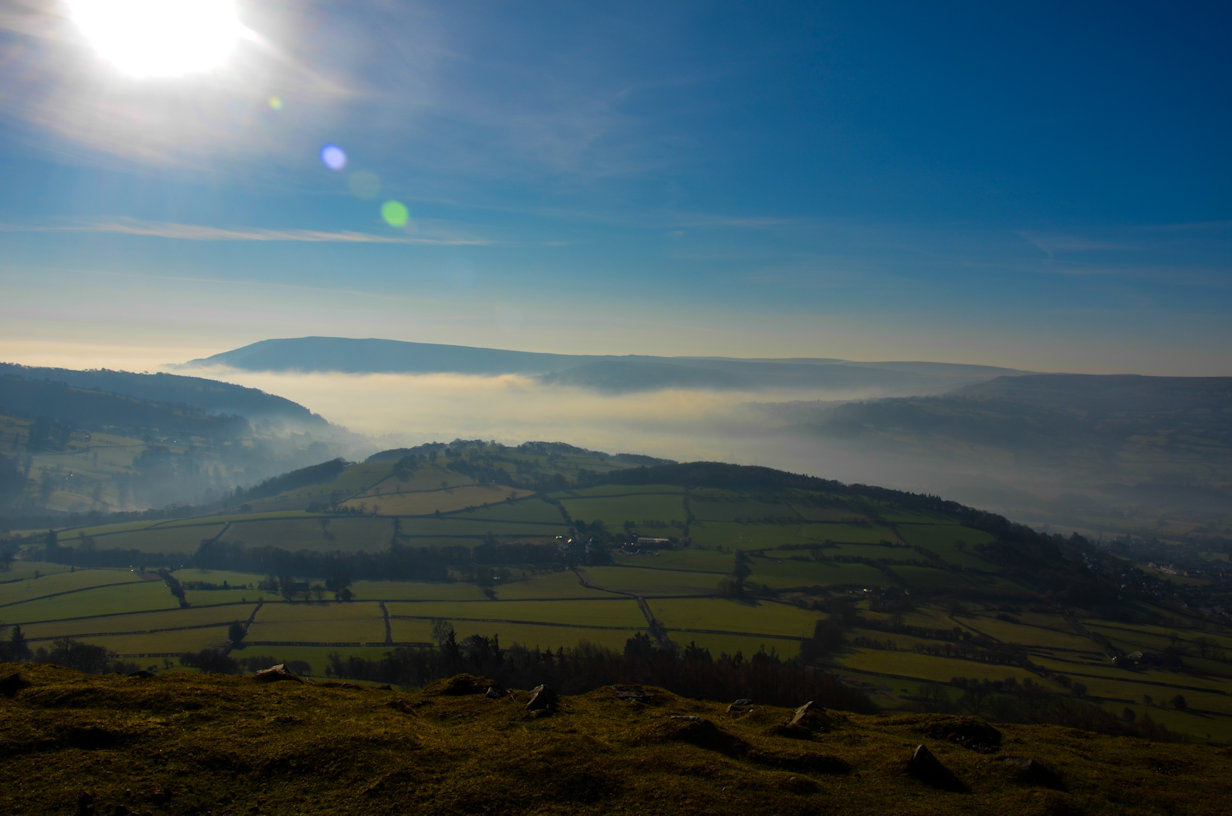
Parking in Crickhowell can either be in the (paid) public car park, or with a bit of deviousness, free parking. The Llanbedr road is the starting point for this circuit and there is plenty of space on the road or off one of the side roads. I located a convenient spot, parked up, got my boots on and headed up the hill towards Table Mountain (451m). The road goes quite steeply up, narrowing near the top where care is needed to avoid being squashed by cars. There are good views across to Table Mountain on this road. A further half mile or so, a signpost leads across a small paddock and several fields, all well marked and up! It is pretty much impossible to get lost here, the path is obvious and well-trodden. Eventually it opens out at the base of the Mountain itself and it a few minutes and a good pull to the summit. If it is a windy day, you'll know about it here and it is worth seeking the shelter on the right of the top for a break. The Welsh name is Crug Hywel which is where Crickhowell gets its name. It means Hywels Mount and was an ancient Iron Age Hillfort.

Of course, that is not the end of the uphill and from here the route continues quite steeply up onto Pen Cerrig Calch (707m). From there it is a steady walk along the ridge towards the next peak; Pen Allt-Mawr (720m) so reasonably flat, but today very windy, requiring both my thermal base layer and Stellar Mid-layer to keep warm, even though the sun was shining and there was not a cloud in the sky.
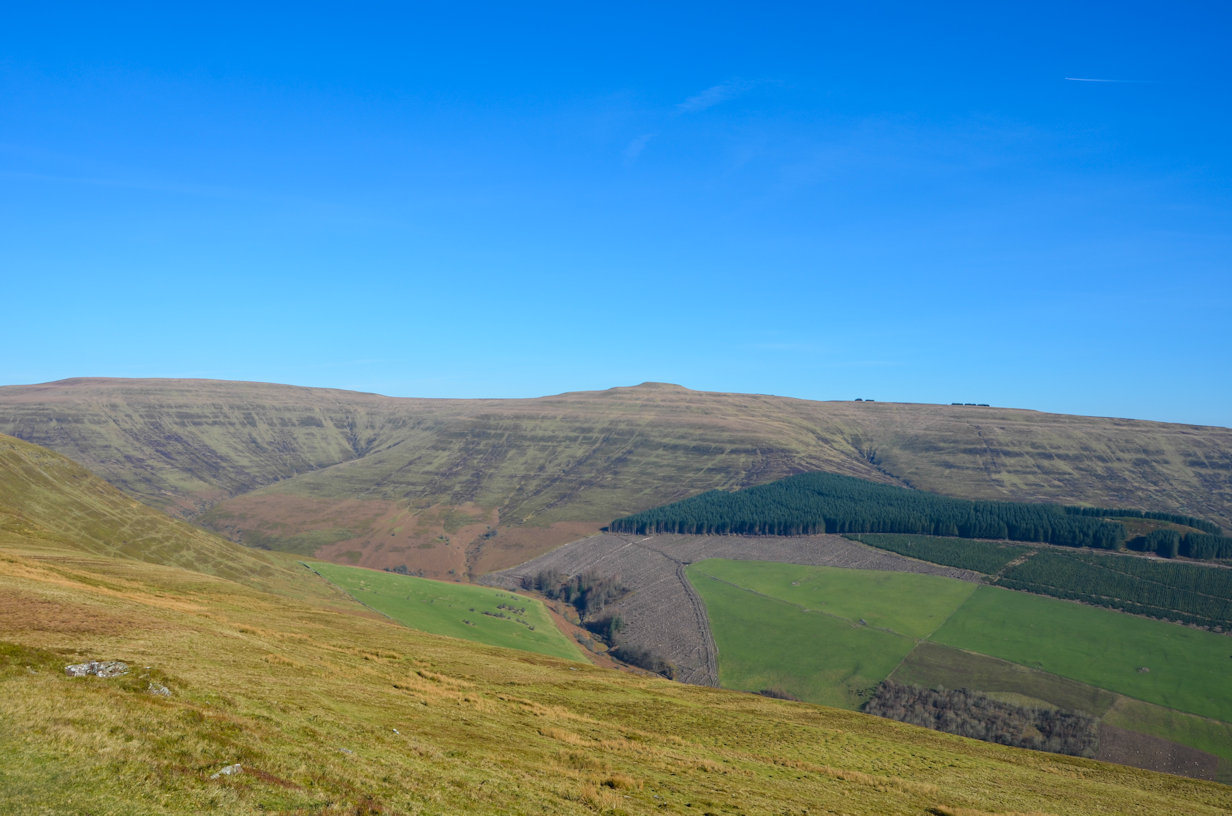
The standard circuit continues out along the obvious ridge line, eventually curling round, but I had bigger ambitions and dropped down the steep side into the central valley between the ridges. Crossing the stream took a little time to locate convenient points - there are actually two conjoining streams to cross at this point, becoming too wide when formed into one. I briefly considered following the stream round and up, but the direct route up to Waun Fach (809m) held more appeal - I'll do the stream route next time!
There is no path from here to the summit so I followed sheep tracks and open sections to make my way up to the summit. It is a good climb, rising over 1200 feet with no let up, although this approach does have the frustration of three or four false summits before the true summit is reached. In the valley I was quite well sheltered from the wind, but as I approached the first ridge, I noticed the wind picking up - always a good sign that the summit is close and I was quite relieved to finally see the pile of stones that signifies the actual summit - no trig point here.

Being the highest point around of course there was no shelter so I quickly left and headed for some trees I had spotted to use as a shelter for my lunch stop. Finding a good spot, I settled down to enjoy a peaceful lunch with views across to the Llanthony and Bal Mawr ridges to the East. Setting off, my route ahead was clear with a good wide track to follow, gently downhill, passing Pen-y-Gadair Fawr (800m), Pen Twyn Mawr (658m) before turning West then South again to reach Llanbedr. From here there is three miles of country roads to walk back to Crickhowell. There is an optional off-road route but it involves climbing out of the valley again towards Table Mountain and to be honest, with a total distance of 17 miles and 3,600 feet of ascent, I'd had enough for the day so followed the road back. It's actually not a bad walk in and I was soon at the car removing my boots, much to the delight of my feet!
It had been a great day out in excellent weather and I'd seen just two other people on the hills all day so quiet and peaceful too.

