
| April 2023 |
| Burtree Fell (612m) |
| July 2023 |
| Dead Stones (710m) |
| Burnhope Seat (747m) |
| Redgleam (718m) |
| High Field (708m) |
| Three Pikes (651m) |
| Flinty Fell (614m) |
| The Dodd (614m) |
| Killhope Law (673m) |
| February 2024 Day 1 |
| James Hill (659m) |
| February 2024 Day 2 |
| Chapefell Top (703m) |
| Frendrith Hill (696m) |
Peaks climbed : Burtree Fell (612m)
Total Distance : 2.5km, Total Ascent : 40m
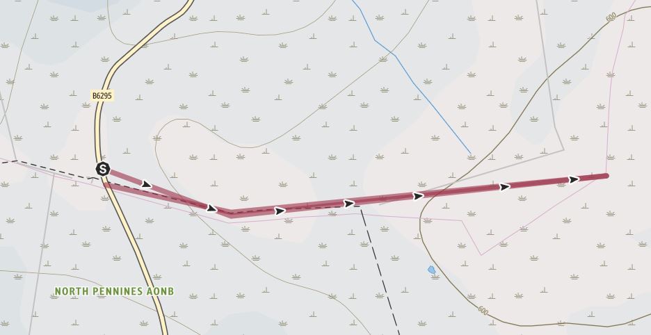
It felt a bit like cheating as the car park is just 40m lower than the summit, but when there are over 400 peaks, it's swings and roundabouts, some mountains are easy, other horrid. This was an easy one, although the sodden ground made for a zig-zag route to the rather unimpressive summit.
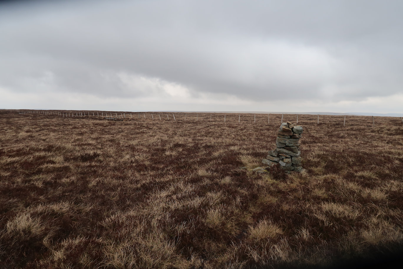
The route starts on an obvious path from the B6295 but the path soon vanishes but it points to the summit so continuing in a straight line, or what approximates to a straight line leads to the summit cairn. Thirty minutes after leaving the car, I was back again.
Peaks climbed : Dead Stones (710m), Burnhope Seat (747m), Redgleam (718m), High Field (708m), Three Pikes (651m)
Total Distance : 24km, Total Ascent : 803m
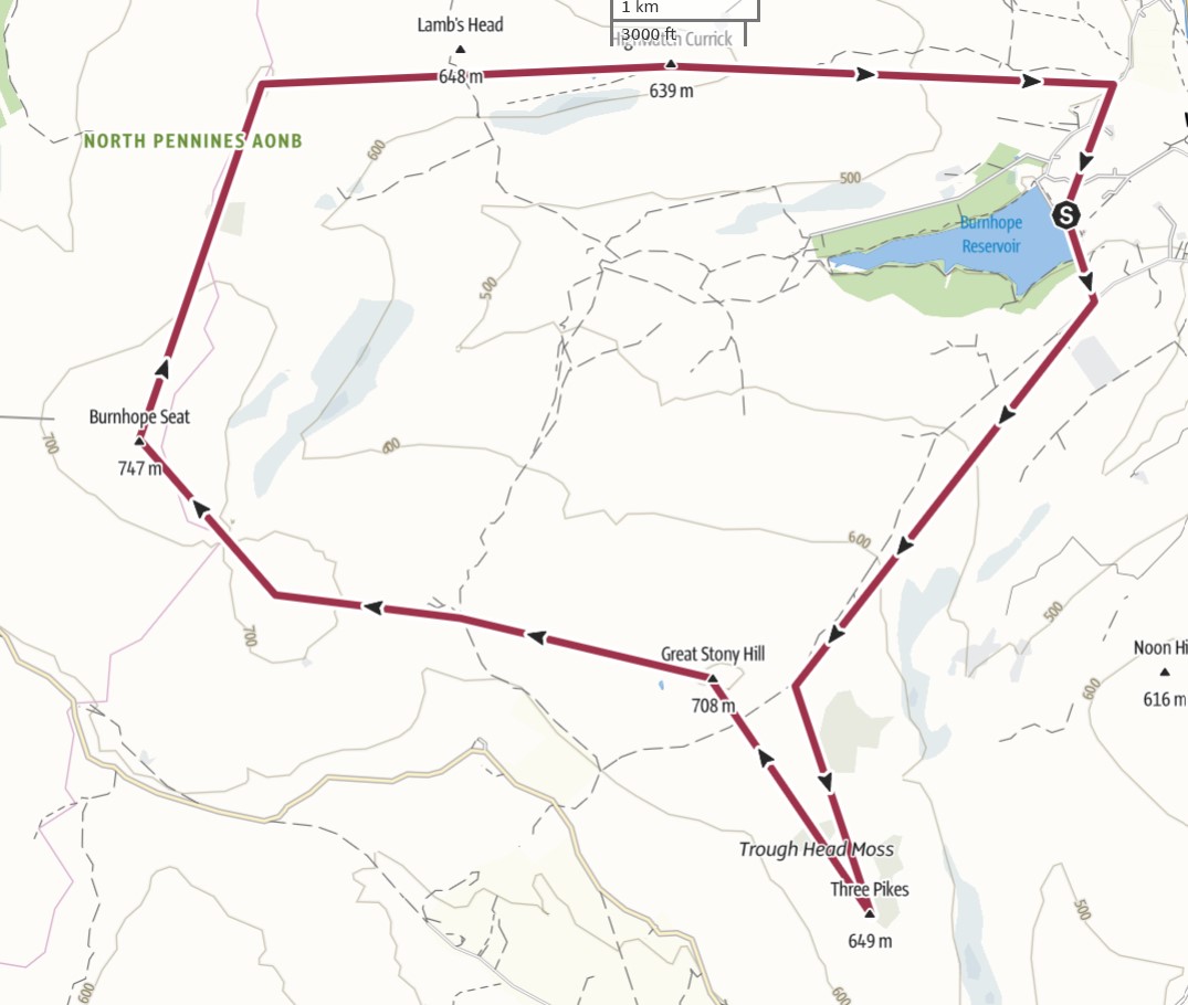
I parked near the Burnhope Reservoir in a tiny parking area, probably only big enough for four or five cars. The walk started a little way back down the road and after an encouraging signpost and stile, it did a disappearing act and required careful navigation and attention to the route. Dead Stones was a long walk on non-existent paths through tussocky, soft ground with numerous peat groughs to test the legs and seemed to get noticeably harder as the summit approached. There is a summit trig point visible from some distance but frustratingly, took a long time to arrive.
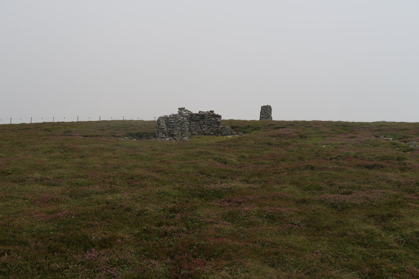
On the way to summiting, the weather took a significant turn for the worse and I decided on full waterproofs, they were to stay on for the entire day. Dead Stones to Burnhope Seat was a steady walk, still on very difficult ground. Interestingly, the trig point is not the actual summit. Luckily I'd read up on it in the Nuttalls book so was prepared. A tiny pile of stones barely above the surroundings was the actual summit. I didn't stop, retracing my steps and heading for the trig point for a quick drink break.
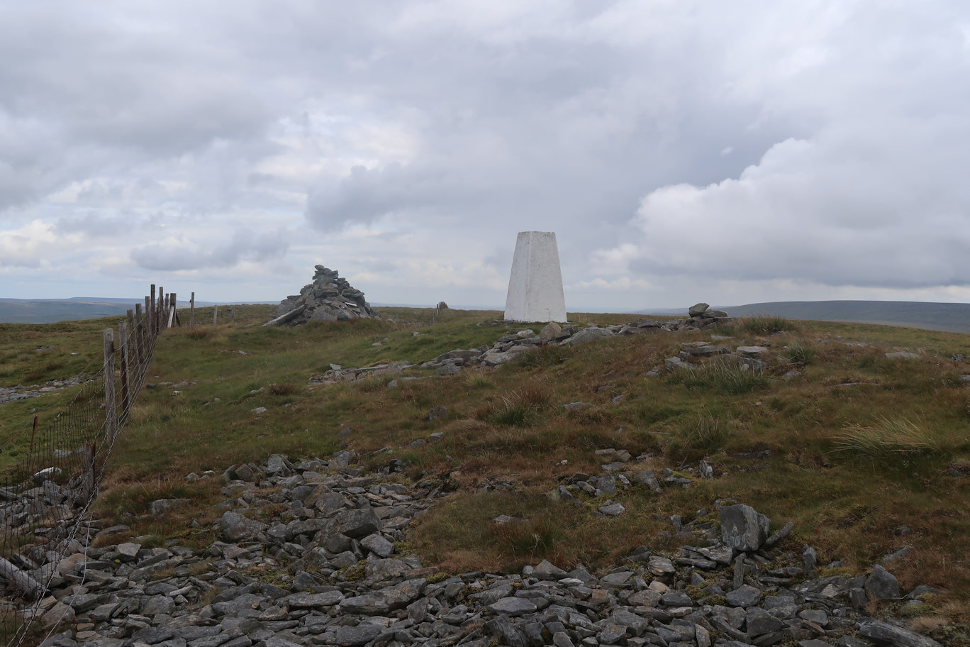
Two peaks done and Redgleam was next on the list. There had been numerous rain showers and combined with the difficult terrain made for a hard battle but this leg was the shortest and I soon had three peaks ticked off, with just two to go. High Field was in sight from Redgleam and I had a choice, aim directly for it, or follow the track which, whilst easier going, was significantly further, I took the direct approach but began to regret it as the terrain, if anything, seemed even harder, the peat groughs more frequent and deeper, so I was pleased to reach the fence that I would follow to the summit which seemed to be on much easier ground. It was lunchtime so I sat on the sheltered side of the summit cairn and enjoyed my lunch, probably stopping a little too long as my legs felt very heavy and tired when I stood to leave.
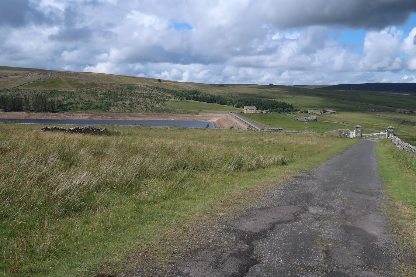
I couldn't decide where the Three Pikes summit was, so took a bearing and headed off. It was more or less an out and back route and even closer I still couldn't decide where the summit was, again just following a bearing. Eventually it became obvious but with the amount and depth of the peat groughs, walking in a straight line was more or less impossible so I headed over, best I could, eventually arriving at the summit stones. Not waiting, I headed back, my legs by now were complaining bitterly about the going and the amount of little descents and ascents required. Finally back at a fence, I knew I just needed to follow this and it would bring me onto a good path, even so, I was beginning to have a sense of humour failure. The final pull onto the path was exhausting, but from there I just needed to follow it down all the way back to the reservoir. As I descended, the track became a road and the angle eased to become a pleasant walk back to the car, with the final section crossing the reservoir dam.
Peaks climbed : Flinty Fell (614m)
Total Distance : 2km, Total Ascent : 56m
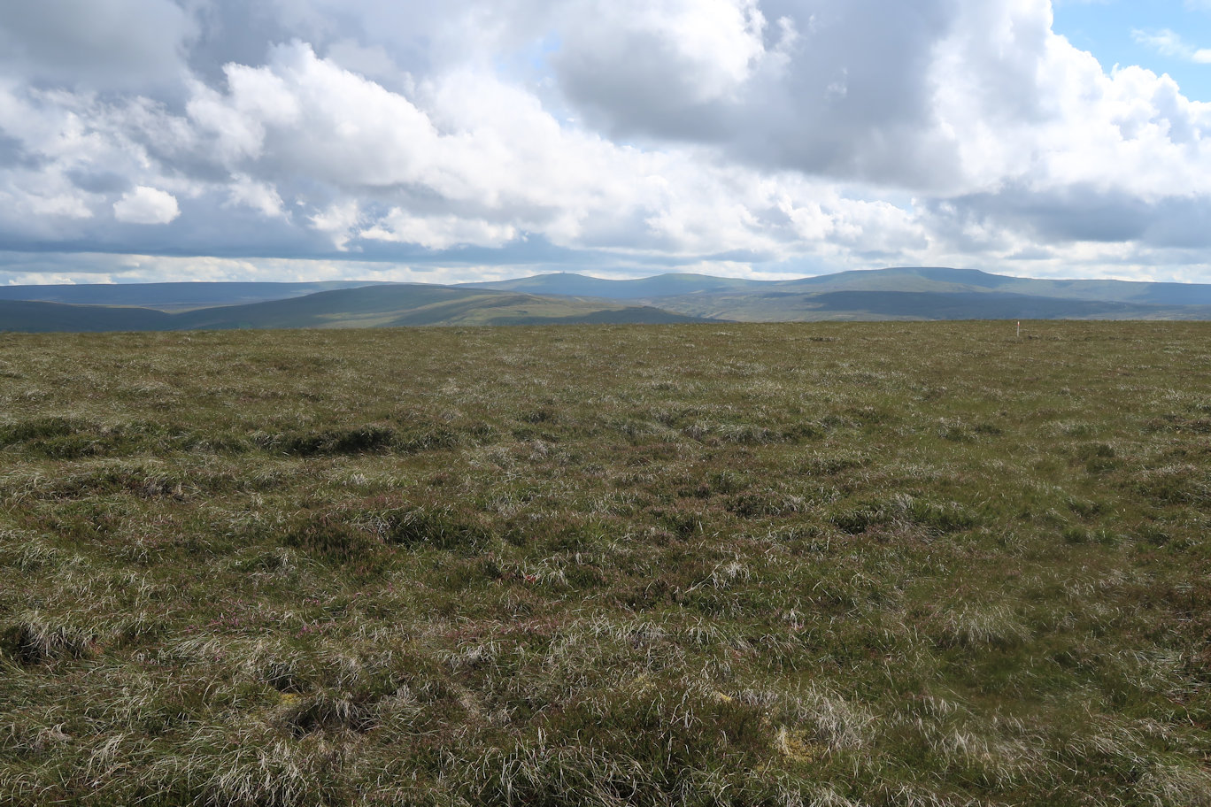
A bit of a cheat, but climbing all of the Nuttalls is swings and roundabouts. I'd had a tough day already on the Burnhope Seat loop, so gave myself an easy bag. I managed to park near to a footpath that led through a forest and out onto the fell and from there it was less than ten minutes across to the summit. I spent a little time getting to the exact grid reference as there seemed to be nothing to denote the summit itself. I was back at the car less than 30 minutes after leaving with the sixth mountain of the day ticked off.
Peaks climbed : The Dodd (614m), Killhope Law (673m)
Total Distance : 12.5km, Total Ascent : 504m
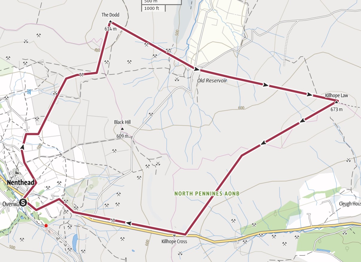
Nenthead provided the ideal parking. I used the Mine car park, well, there was nothing to suggest I couldn't and there were a few other cars there so it seemed like a semi-public car park. I was soon away, wearing full waterproofs as it had already been raining and the clouds were looking ominous to say the least.
The route starts well enough, following the route of 'Isaacs Tea Trail', apparently a 58km circular walk in these parts. Soon enough though, I had to leave it to head directly up towards 'The Dodd' my first peak of the day. The going became almost immediately difficult, with tussocky soft heather and undergrowth doing its very best to impede progress, but the summit came quite quickly, as did the rain showers so I didn't stop longer than it took to take a couple of photos.
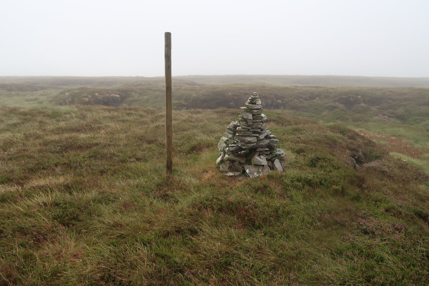
The next part of the journey took on a familiarity as I headed cross country making my own path as there were none to be found. The rain by now had changed from shower to full on rain and my waterproofs were struggling against the humidity and the rain. Finally after some considerable effort I reached the road that signalled the end of the 'Dodd' area but the beginning of the 'Killhope' area. This proved equally tough as I made my way across and up in the general direction of the summit. I guess one of the benefits of a less popular area is the increased wildlife. In addition to the Curlews and Lapwings, there were many ground-nesting birds taking flight as I stumbled across the terrain. Small mice or shrews darted for cover and I also saw a few frogs making their way across the ground. At one point I came across a deer. I wasn't sure who was more surprised but I watched with great envy as she bounded across the heather at great speed - if only!
I'd read that there was a huge post signalling the summit but in the low cloud I totally failed to spot it. Even close up, I could see a post but it wasn't on the summit, then I realised, the big post had fallen down! Killhope Law boasts no less than three markers, the broken post, a trig point and a little way off, a huge cairn with a steel post, proudly proclaiming 'Killhope Law' just in case tired walkers think they are on a different summit, or possibly totally lost.
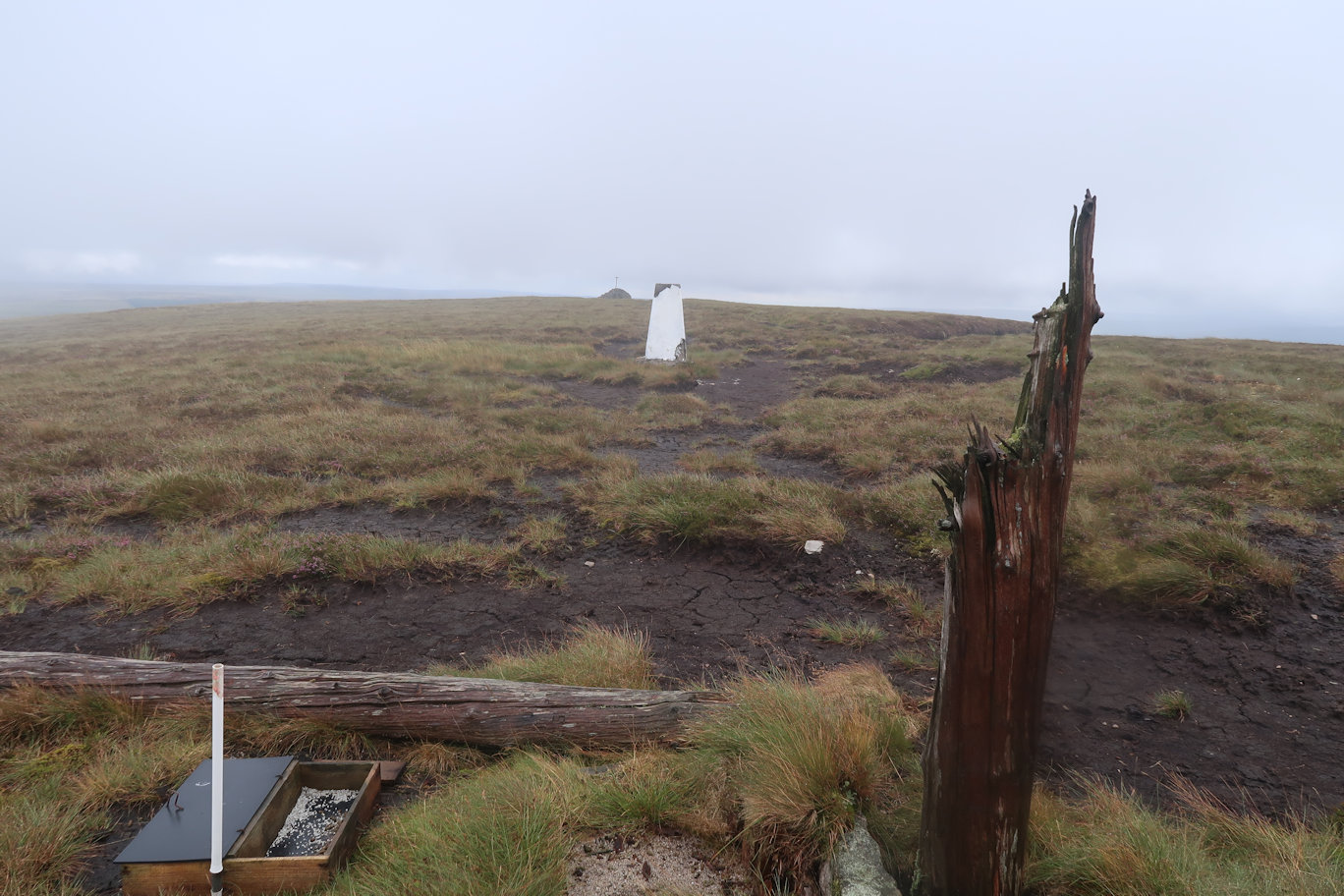
I paused long enough for a drink and a goodie bar, then headed off, initially picking up a good path but that veered off in the wrong direction and then disappeared. I needed to be slightly right of straight ahead and I could see the main road across to my left. Tired of the slog through the heather and the increasing number of peat groughs, I made a more direct line across and met the main road just below its summit which was ideal, I'd not lost any height from the mountain summit and it would now be downhill all the way back to the car.
The road was a great relief from the difficult terrain of the mountains and whilst I am not a fan of road walking, this was acceptable! On the way down, the heavens opened again with the wettest rain of the entire day, just as I felt I was starting to dry out a little. I was feeling somewhat disgruntled but then a sight cheered me no end. A man on a bicycle was heading up the hill. The rain was in his face and he was clearly not enjoying his day. My day seemed so much better by comparison! The village and the car couldn't come quick enough, but I had to sit in the car for a while until the rain stopped and I could get out of my wet gear.
Peaks climbed : Westernhope Moor (James Hill) (659m)
Total Distance : 7.4km, Total Ascent : 257m
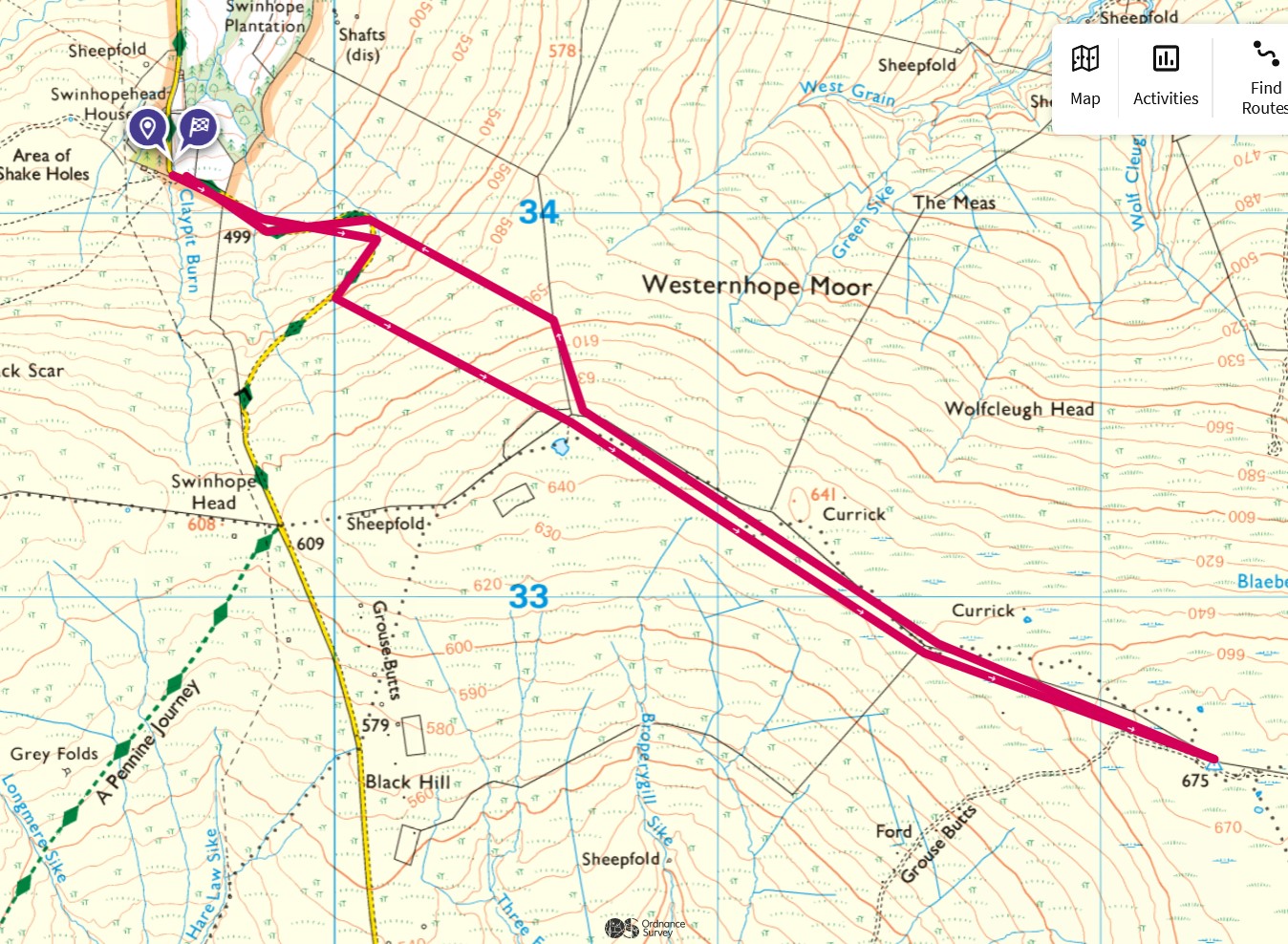
This was originally planned as part of the Chapelfell route, but an early finish on Bink Moss gave me time to bag this one. I parked the car in a small parking area on a very narrow road not far from Middleton in Teesdale and headed off back up the road to the hairpin which signalled my departure from the road. I took a rough heading up to the wall on the skyline, then turned right and followed the fence beyond the wall to a junction. From there, it was left and basically following the fence line all the way to the summit. Being moorland, that was easier said than done as I weaved my way around the boggiest sections to eventually reach the final plateau. A kind of board walk has been constructed but it was so old, that it was almost worse than useless and I continued to make my way to the trig point which signified the summit.
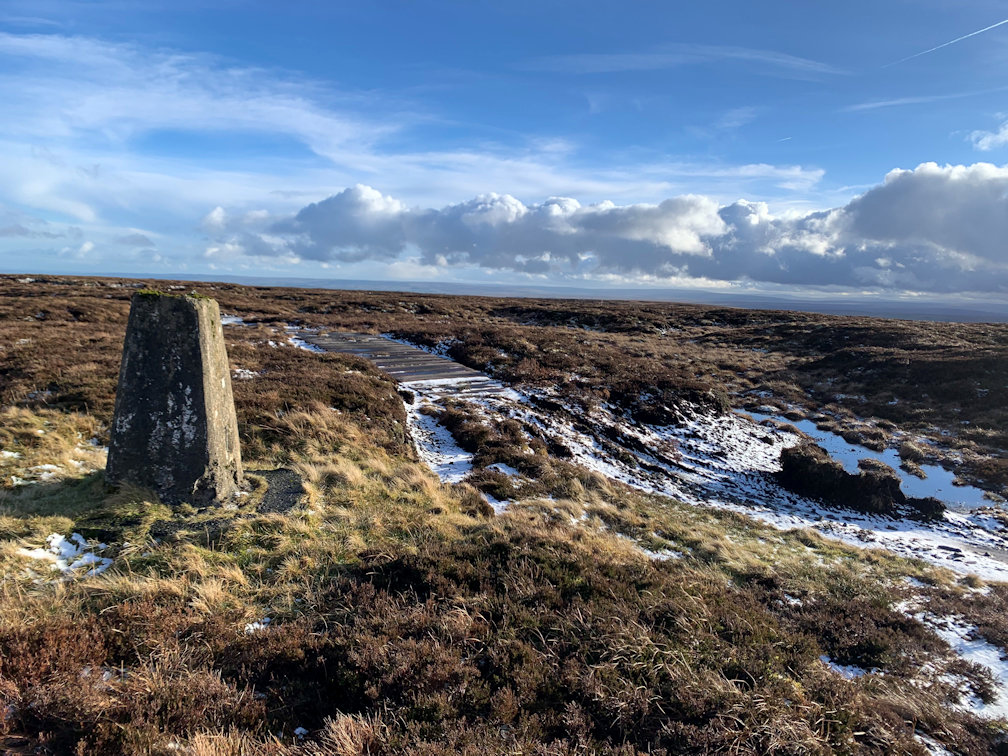
As a mountain, it's nothing special at all and after a couple of photos, I decided to head back down as it was quite cold and the sky threatened rain. The descent was a retracing of steps and I soon came back to the road which I followed down and back to the car, feeling quite chuffed that I had bagged a second peak on the same day when I'd only expected to get one.
Peaks climbed : Chapelfell Top (703m), Frendrith Hill (696m)
Total Distance : 6.8km, Total Ascent : 572m
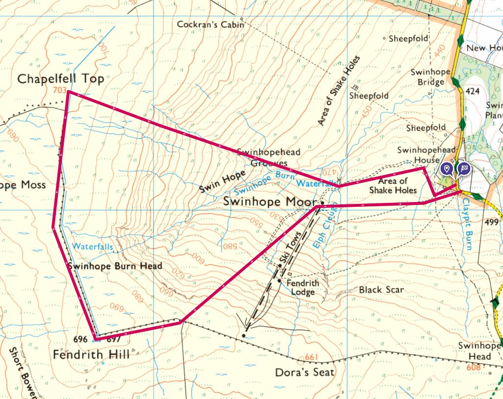
Using the same car park as I did for James Hill, I set off across open ground in the general direction of Chapelfell Top. There was still snow on the ground which made going a little tougher, but even more so as I began to ascend. I followed the line of the beck which would take me up the steepest part of the climb right onto the summit plateau. Here, the going got even harder, with every step sinking some distance into the snow and no real way of determining whether there was solid or boggy ground underneath.
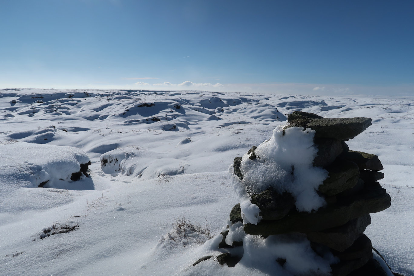
It took some time to get to the actual summit, marked by a small cairn, but some distance from the summmit grid reference I had programmed into my OS maps app. Luckily, the top I had identified was on the way to Frendrith Hill so I could go to it anyway. Initially the walk over to the next summit was on good ground, but that soon gave way to more boggy ground that required weaving back and forth to avoid the obvious bad areas. Frendrith Hill has a trig point which made it an obvious summit and within thirty minutes I was onto it.
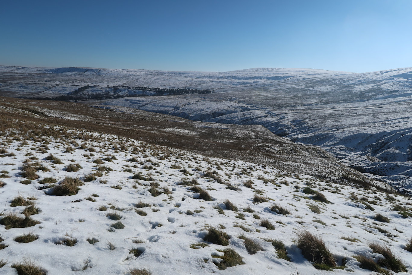
From there, my plan was to follow the fence to the top of the ski area, then down that and back across to the car, but I figured that given the ground was soft and the going was tough, a more direct route would not be any worse, but somewhat shorter and I soon found myself at the bottom of the ski run and back onto a reasonable track that took me back to the car. The Burnhope Seat area is now complete.

