
| March 2023 |
| Yarlside (639m) |
| RandyGill Top (624m) |
| Bush Howe (623m) |
| The Calf (676m) |
| Bram Rigg Top (672m) |
| Calders (674m) |
| April 2023 |
| Fell Head (640m) |
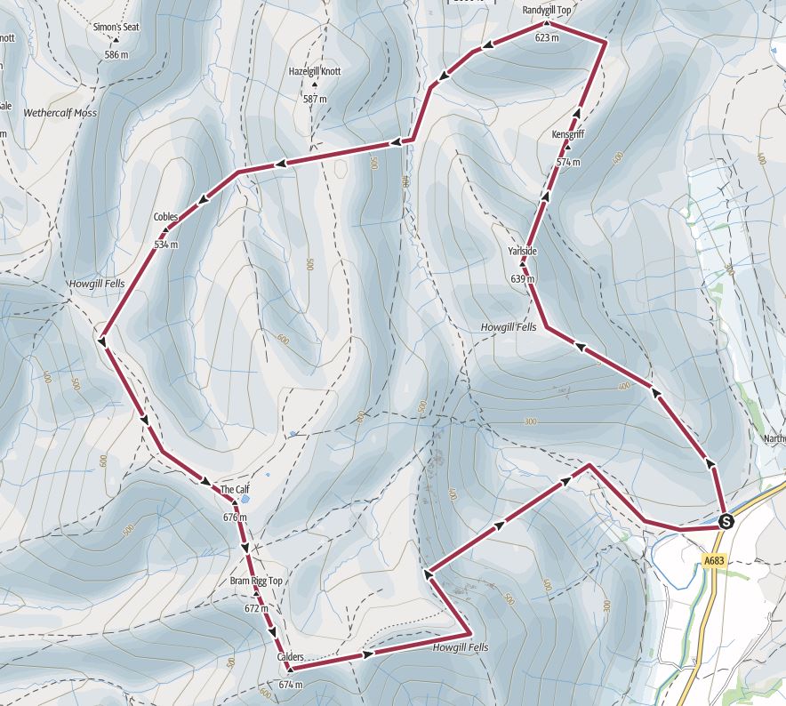
Peaks climbed : Yarlside (639m), RandyGill Top (624m), Bush Howe (623m), The Calf (676m), Bram Rigg Top (672m), Calders (674m)
Total Distance : 17km, Total Ascent : 1247m
Unbeknown to me, there was a Fell race starting from my planned start point which meant that there were dozens of cars lining the road. I found a spot at the end.
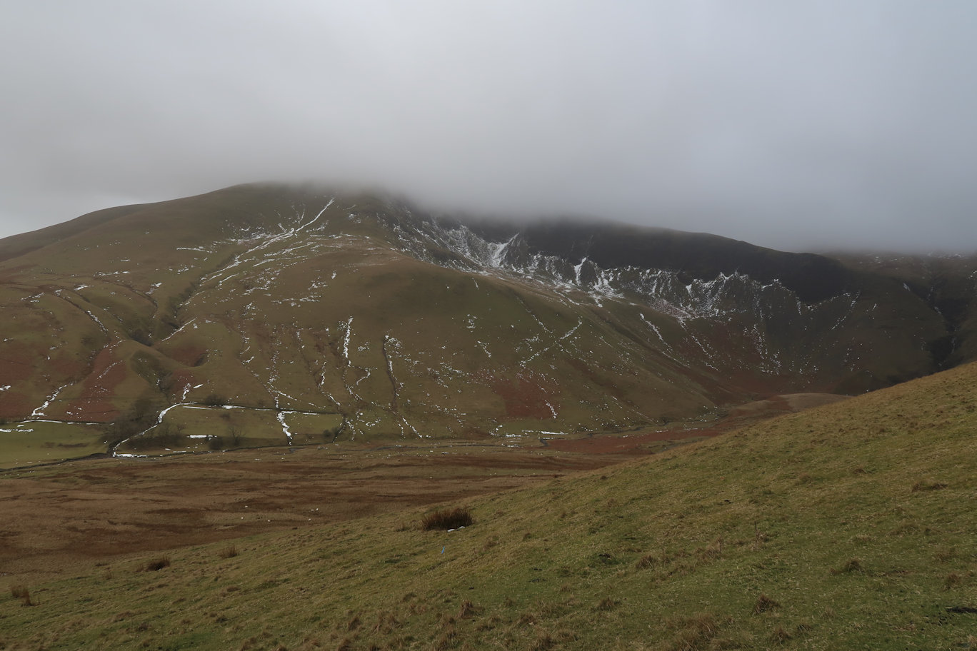
Asking one of the organisers, it transpired that the race was up to Yarlside. Handy for me, there were flags all the way up so no navigation required.
It is steep right from the get-go and I found myself stopping a few times to catch my breath. Finally I summited and was relieved to do so. From there, Randygill Top was an easy walk.
The first tough challenge was the cross country route which took a huge height loss, followed by a huge climb, followed by another descent and ascent. The mountains here have very close contours which translates as seriously steep. The weather at this point had turned for the worse and for whatever reason, I found myself really struggling up the climb so made the decision to miss out on Fell Head.
In fact I seriously considered abandoning the entire day I felt so tired, but figured that following the route over the summits was probably easier than trying for a direct route over featureless fells with no paths.
Bush Howe came quite quickly as did The Calf. There were no views and constant rain, so I didn't stop. Bram Rigg I technically didn't need to do as it has been deleted from the list, but as I was passing very close to it, I decided I would summit. There's nothing there other than a tiny cairn so it wasn't really worth it.
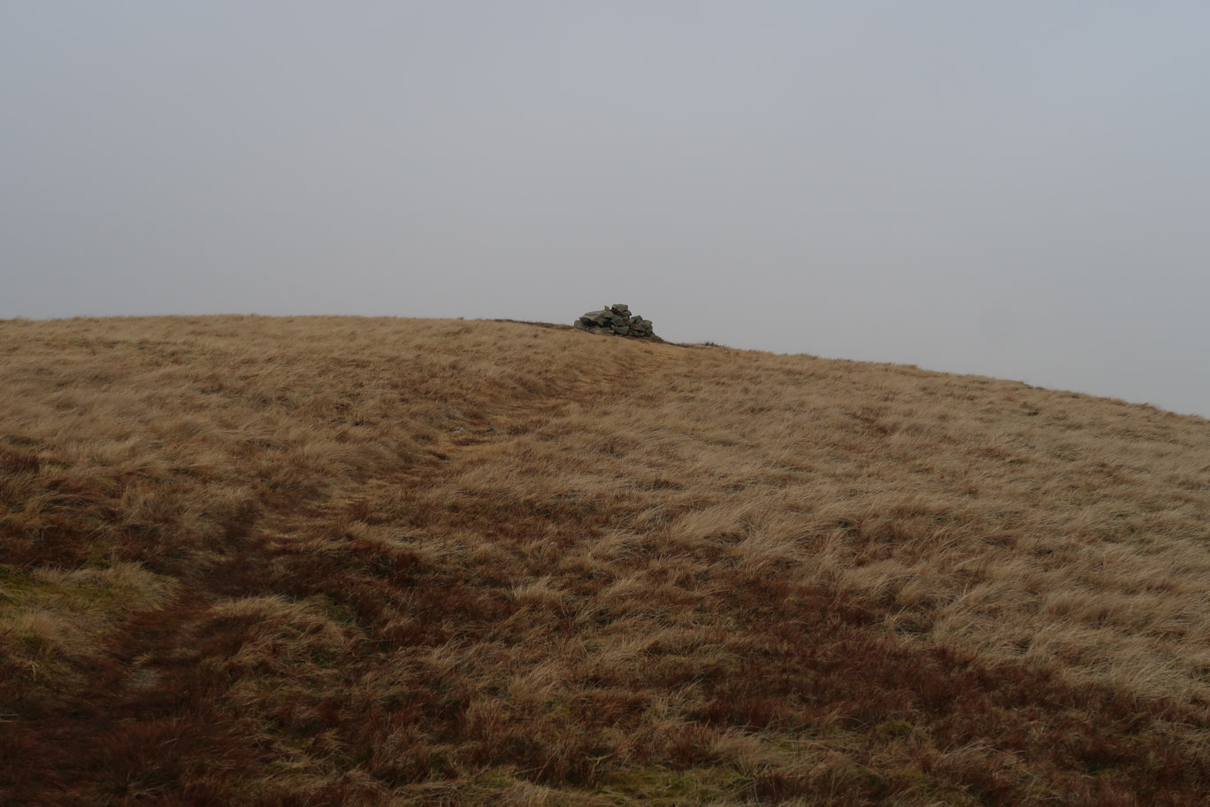
Calders was the final summit and the only one to feature a Trig Point. Again the weather was still rubbish so I didn't stop, instead headed off on my chosen path back towards the car.
I'd spied a couple of route choices, one of which took a more direct descent and looked quite easy so I elected to take that route as it knocked a good distance off. It turned out to be reasonable but very steep, making my feet ache but soon enough I was down in the valley and picked up the main path which I followed for a mile or so back to the final bridge across the river and up to the car.
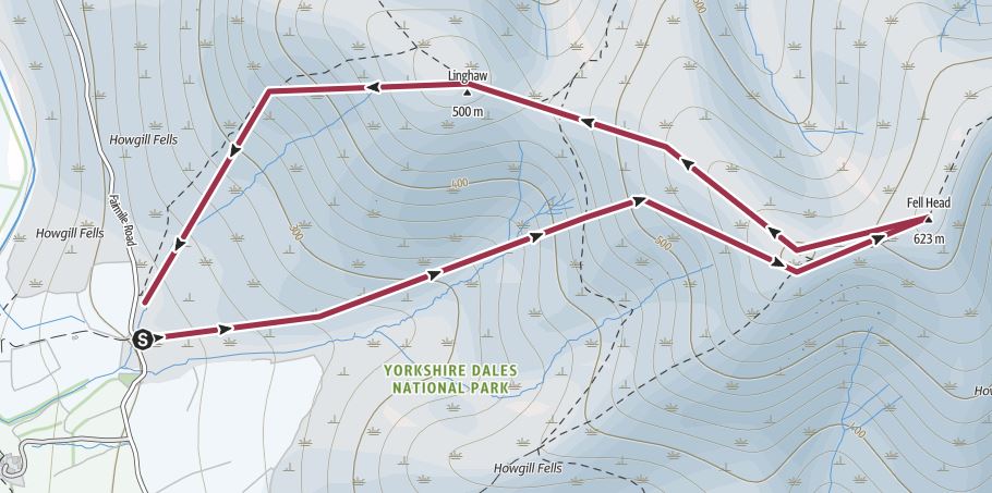
Peaks climbed : Fell Head (640m)
Total Distance : 5km, Total Ascent : 474m
Having missed it last time, I was keen to complete the Howgill Fells area so on a trip North to walk Hadrians Wall, it seemed like an opportunity to break up the journey.
The starting point was about as close as it was possible to get on the Western side, and with a glorious day, the summit was almost in view, just hidden by the ridge.
Heading off North East on the obvious path, I first summited Linghaw which is exactly 500m and typical of this area, in that it was very steep all the way up. It probably counts as a separate summit as there was definitely a drop all round, including on my path to the summit of Fell Head, which was a bit disappointing as I lost 20-30m of altitude, which was then quickly regained by a steep climb. At the top of this, there was a cairn, but the actual summit about 100 metres further along and a little higher. The views from the top were superb and infinitely better than the last time I was here when the weather was truly dreadful.
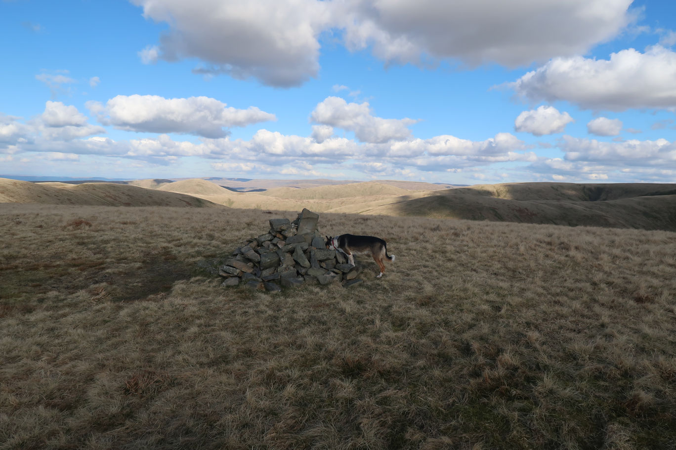
The summit, according to the OS Maps and Outdoor Active is 623m, but my altimeter showed 632m and Nuttalls claims 640m, although their map shows the summit at just over the 620m contour, so take your pick. I didn't linger long and was soon heading down, electing to take a more direct, but steeper descent to avoid Linghaw a second time. Soon enough I was back at the car, the guide time had said two hours, I'd ascended in 45 minutes and got down in just 25 minutes so was well pleased with that.
Total Distance : 11km
After another full-on week of walking, I decided to have an easy day. Parking near St Marks Church on the A683 out of Sedbergh, I picked up and followed the 'Pennine Journey' footpath from there to Cautley Spout a few miles to the North East. The path is initially steep from the road to get onto the contour line, then flat and eventually slightly downhill to arrive at Cautley Beck. From there, it is a twenty minute walk on a good path up to the waterfall which seems to grow both in height and spectacularness (if there is such a word!). As with all waterfalls, it was best viewed from below, but there is a steep path to the side for the more adventurous. I elected to admire it from below sat on a convenient grassy knoll, admiring that, plus the surrounding Howgill Fells of Yarlside and Great Drummacks, both of which were climbed on a previous trip.
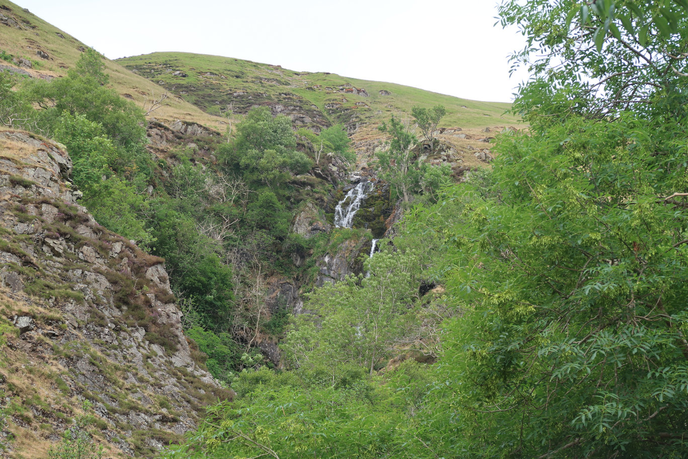
Having had my fill of waterfalls, I made my way down and detoured to the Cross Keys Inn. This is an unusual Inn in that it is Unlicensed so if you are hoping for a pint, forget it! Also it is not open every day so best check beforehand to avoid disappointment. Having said that, they do an excellent coffee and an even more excellent scone with jam and cream (cream first of course!). The view from the garden is spectacular right back to the waterfall.
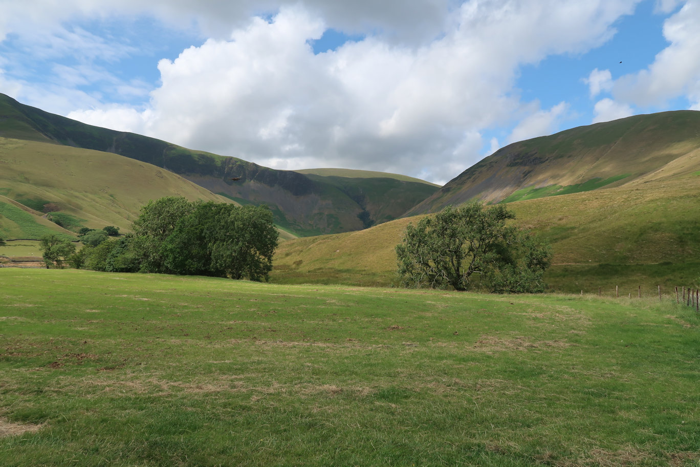
Running almost parallel to the outward path is a lower level path so for a change of scenery I followed that back. It is much less frequented and in places quite overgrown so required some minor detours but emerges near the final bridge and track back up to the road. A very pleasant walk, no mountains climbed but an enjoyable day out nonetheless.

