
| November 2021 |
| Moel Hebog(782m) |
| Moel yr Ogof(655m) |
| Moel Lefn(638m) |
| February 2022 |
| Day 1 |
| Mynydd Mawr(698m) |
| Day 2 |
| Y Garn(633m) |
| Mynydd Drws-y-Coed(694m) |
| Trum y Ddysgl(709m) |
| Mynydd Tal-y-mignedd(653m) |
| Craig Cwm Silyn(734m) |
| Garnedd Goch(700m) |
| Mynydd Graig Goch(610m) |
Peaks climbed : Moel Hebog(782m), Moel yr Ogof(655m), Moel Lefn(638m)
Total Distance : 15.5km, Total Ascent : 1,012m
The weather forecast wasn't promising with rain and low cloud expected over Snowdonia, couple that with expected low temperatures and the decision to change from motorbike to car seemed like a sensible one, and in fact, so it proved.
After a very early start and reasonably good roads, I parked up in Beddgelert at 10:00am, managing to find some free on-road parking. Result!
After a quick detour to the toilets which are conveniently located near the bridge I headed off in the direction of the Royal Goat Inn. Recalling the Nuttall guide, I headed up the path and after a slight detour got onto the path. Quickly it splits with one path heading up and one signposted 'Rhydd Ddu'. I took the upper path which was well signposted (but actually wrong) and started up. Crossing the first field I managed to put my foot into a knee deep bog, and trying to avoid falling, put my other foot into the same bog! For a moment I didn't think either boot would actually come out, so deep and clingy was the mud! Finally I managed to free myself but was now filthy from boot to knee and both boots wet inside. Great start!
Of course the path soon petered out and I found myself forced to head up in the general direction. It wasn't helped by the low cloud and soon Beddgelert was out of sight. Well, in order to summit this particular mountain it just required going up as it was the tallest in the area so I figured as long as I was heading up and in the right direction, all would be well.
Some tough climbing I eventually located a small path and followed it, trying to memorise the return route as I expected to come back this way (I didn't as it turned out).
Onward and upward, eventually the gradient eased and my altimeter showed I was nearing the top. Out of the mist I could see the trig point - job done!
I didn't wait long, just enough time for a quick drink and to put on my gloves and hat as it had got quite cold and the rain had worsened.
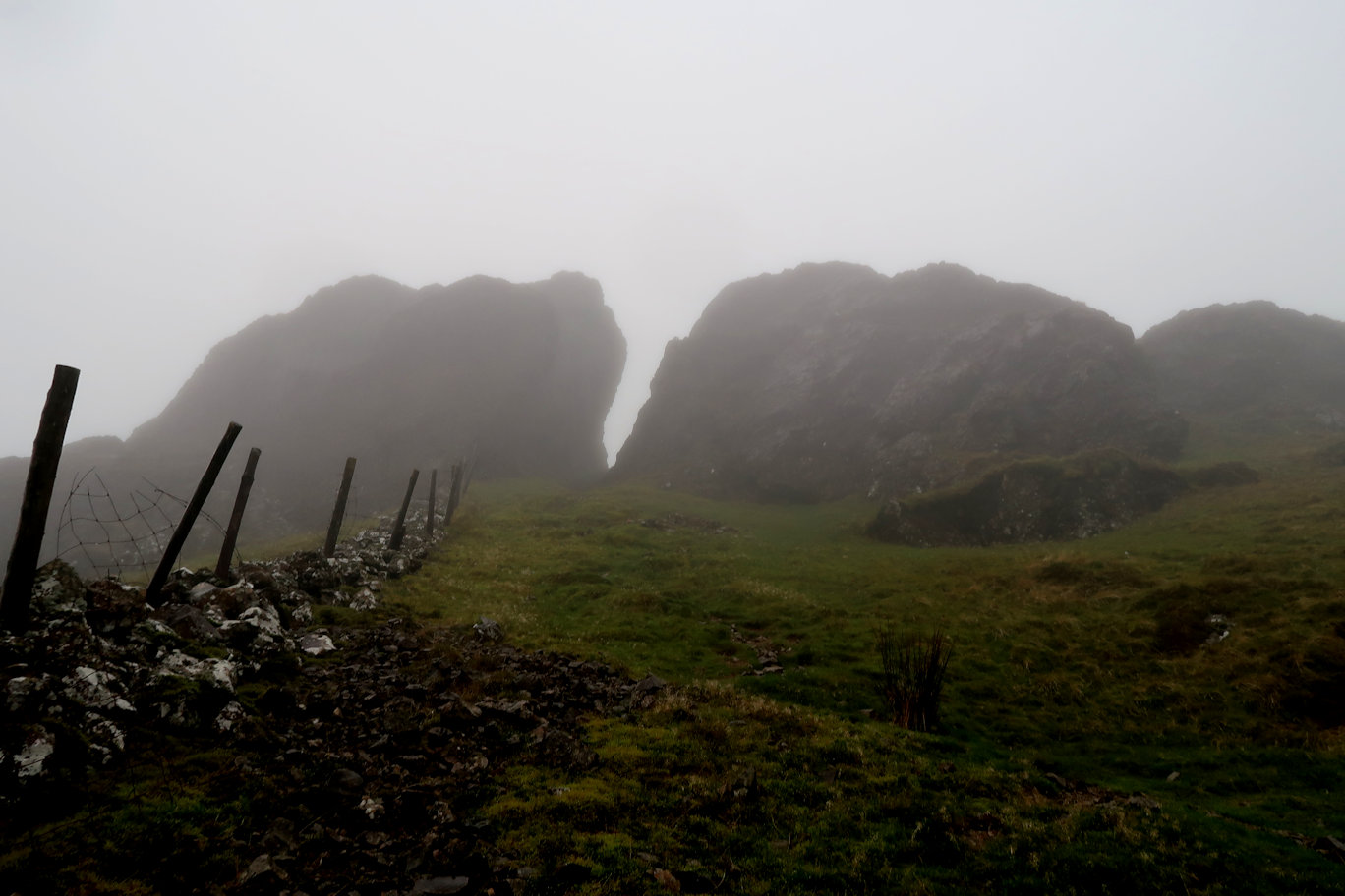
With the lack of view and any obvious path, I knew I needed to head North West towards the next summit so headed off in the general direction - a clear day would have made navigation a doddle, but today no chance. The route headed downwards as I expected, but got very steep and I began to realise that I was headed too far West, so checked with View Ranger and realised that, at the bottom of the wall I was now near, a path would take me across and onto the main track to Ogof. This I did and soon came to a path junction. I had decided that 1pm would be decision time for continuing or turning around, I had about 30 minutes left. Following the path left through a cleft in the rocks I quickly gained height again and soon reached the summit, somewhat surprised to see two walkers with their dog taking a lunch break. They were the first I'd seen all day.
Summiting I decided I had enough time to get to Lefn and back so headed off quickly. More featureless walking including a drop between the peaks where I slipped on some rocks and landed heavily on my bum and right hand. I'll no doubt have a nice bruise or two as a memento!
I started heading up again and near the top, met two other walkers who told me the summit was close. It is a bit of a ridge here so I figured it best to ascend each little peak to be sure.
That was it, done, not even stopping for a drink, I set off back down, although Ogof has to be ascended again as it is on the main path and I didn't want to deviate in such poor visibility.
Finally downhill I retraced my steps through the rock cleft and came to the path junction. Not wanting to ascend Hebog again, I turned left and followed the obvious path down towards the forest. It was tough going over uneven rocky ground and I managed to fall for the second time, this time landing on the rucsac which winded me and took a couple of minutes to recover. I was rapidly losing my sense of humour!
Once in the forest, the pain was far from over and the poor quality of the path meant that progress was slow and felt even slower with the lack of any change in the features. Punctuated by the occasional forest road, the path descended relentlessly but the trees did provide me some shelter from the rain which, by now was pretty much constant. I was totally soaked through. Given that it was 100% humidity I suppose I shouldn't have been surprised that both my trousers and jacket had wetted out, but it still disappointed me. I must try them in just rain rather than cloud and rain to see how they fare.
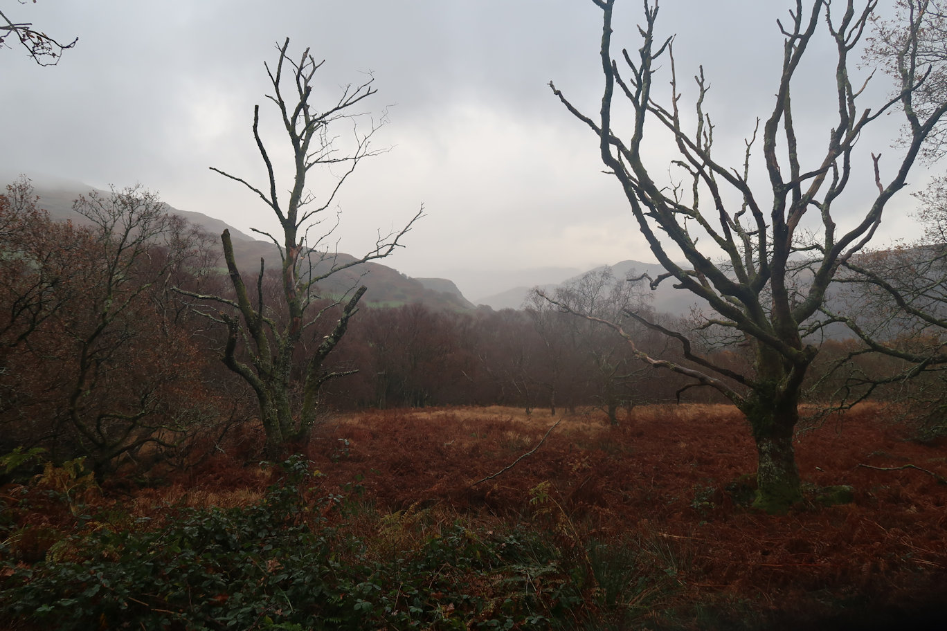
Finding some good cover, I stopped to eat my sandwich and have a hot drink. I soon cooled off, so departed as quickly as I could and continued the relentless downhill. Finally I came to a small bridge which signalled the end of the forest and the end of the steep downhill. I still couldn't see Beddgelert but my spidey sense told me I was heading in the right direction and so it proved to be. Along a good track I came to the railway station and emerged into the car park just below the Goat Inn. It was a short distance back to the car and the finish.
My plan was to get my boots off and drive straight up to the YHA in the hope of bagging a free parking space, I could then deal with everything else. This is exactly what I did and indeed did bag a space - happy days.
It was only 3:30pm but I went in anyway and got a coffee and cake, then more or less sat on a radiator trying to dry out and keep warm until check-in time.
Some serious admin followed to get my wet gear into the drying room and hang everything else in my room. Shower, dinner and relax whilst I formulated a plan for tomorrow. It will be weather dependent but I don't think the Nantlle Ridge will be a good idea, the weather may be okay, but the rock will still be very wet and probably slippery too and I've had enough of that today. My new plan will be an ascent of Snowdon via several unclimbed peaks which, if it works and coupled with my Friday plan should see all of the peaks in the Snowdon range ticked off which is a good result by any standards.
Three days in Snowdonia, based at Idwal Cottage Youth Hostel, I had an ambitious plan to climb somewhere between 13 and 18 2,000'+ mountains in the Berwyn, Glyders and Moel Hebog areas to add to my collection. This is what happened in the Moel Hebog area...
Peaks climbed : Mynydd Mawr(698m)
Total Distance : 9km, Total Ascent : 532m
The best place for an ascent of Mynydd Mawr is in Rhydd Ddu and I soon located somewhere to park (opposite the pub). I'd been walking in the Berwyn mountains in the morning so it was quite late when I arrived. Quickly dressing into full walking gear - it was still raining, I set off for the final peak of the day at 15:50, probably the latest I've ever started a walk.
I'd checked the start with Nuttalls guide which told me to walk around the back of the pub on the road, then take a right into the forest. That done, it was about 15 minutes along the forest trail before a small path forked left. Up I went to a crossing, then up again, ignoring the invite to go to the 'New Gate' some 100m in the wrong direction. I continued up and crossed the fence onto open ground.
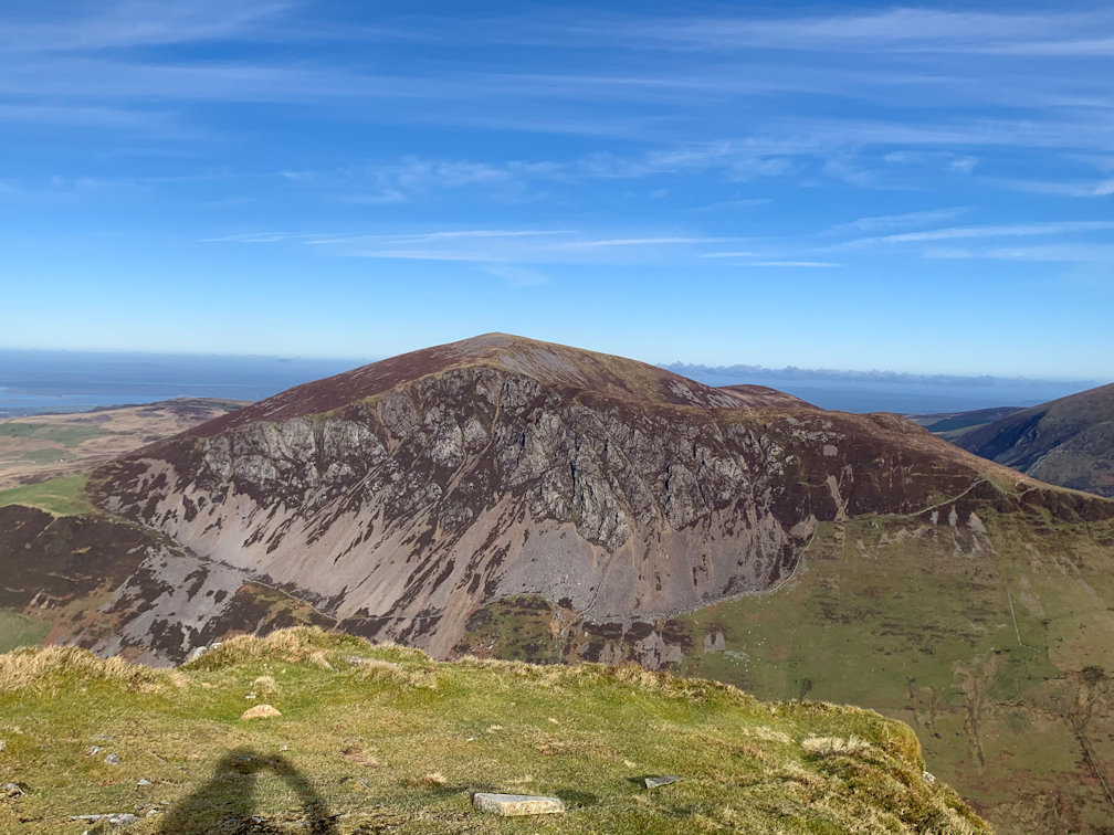
Now it got steep, but not as steep as it would get. Up I went, my legs complaining about the additional effort required and I did begin to wonder whether it was a good idea or not. Arriving at the stile, it then got much steeper and did not relent until Foel Rudd top. The path eased a bit and I fancied I could see the summit of Mynydd Mawr (698m), but it didn't look high enough. It wasn't and it wasn't! The actual summit is about 5 minutes or so further on and features several shelters, none of which I used as I just wanted a quick drink and goodie bar before heading down, conscious of the lateness of the day and slightly concerned about the end of the daylight.
Heading back down was easier on the legs, but harder on the knees and I was well pleased to enter the forest and get back onto the main trail.
Back at the car I quickly changed and headed off. By the time I left, it was fully dark so I had only just made it in time.
Three two thousand foot peaks conquered, bringing my tally to 202.
Peaks climbed : Y Garn(633m), Mynydd Drws-y-Coed(694m), Trum y Ddysgl(709m), Mynydd Tal-y-mignedd(653m), Craig Cwm Silyn(734m), Garnedd Goch(700m), Mynydd Graig Goch(610m)
Total Distance : 23km, Total Ascent : 1,317m
Today was the big day, but the weather needed to be right, and it was! A cloudless sky greeted me as I set off for the 30 minute drive to Rhydd Ddu again, hoping to get my favourite parking spot again. I did. Good start.
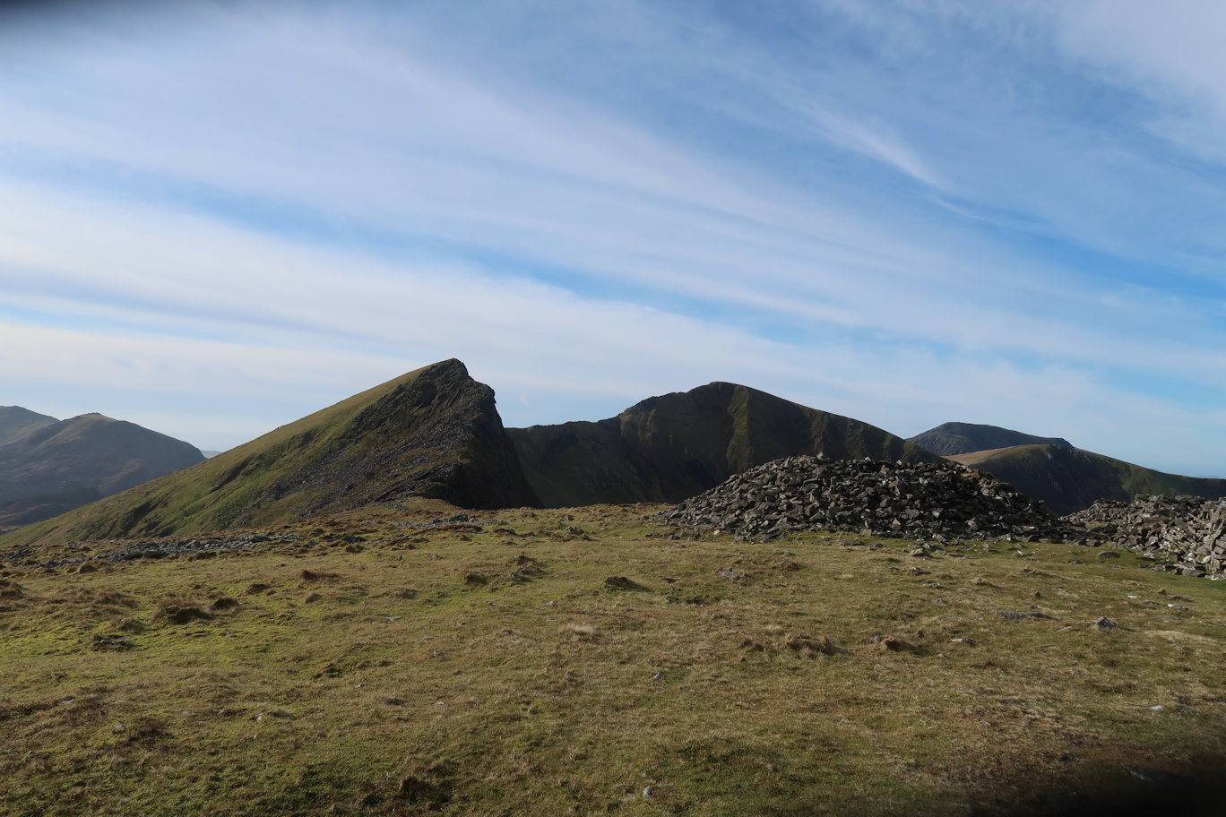
I was soon on my way up the road to the turning where I would strike out for Y Garn (633m), the first of the seven summits of the day on the Nantlle Ridge. The Nuttall guide claimed this to be the hardest climb of the day, personally I would dispute that as will become apparent later. It does, however gain the most altitude. It is relentlessly steep and unforgiving right from the start until the final boulder field onto the summit. The views of Snowdon, Mynydd Mawr and Eilio make the effort worthwhile but it was quite cool with a strong wind blowing so I didn't hang about, setting off for the second peak which seemed quite close. Y Garn is one of the lower peaks and the next; Mynydd Drws-y-Coed around 60m higher at 695m. From the ridge the summit looks in a very airy place with a more or less sheer drop on the ridge side. In reality it is much less worrying as there is plenty of space to enjoy the view without standing too close to the edge. In the distance I could see Anglesey and also Caernarfon Airport, one I visited last year and thoroughly enjoyed. It was good to see it from this side and get a bearing on where Snowdon is in relation to the airport (almost due East).
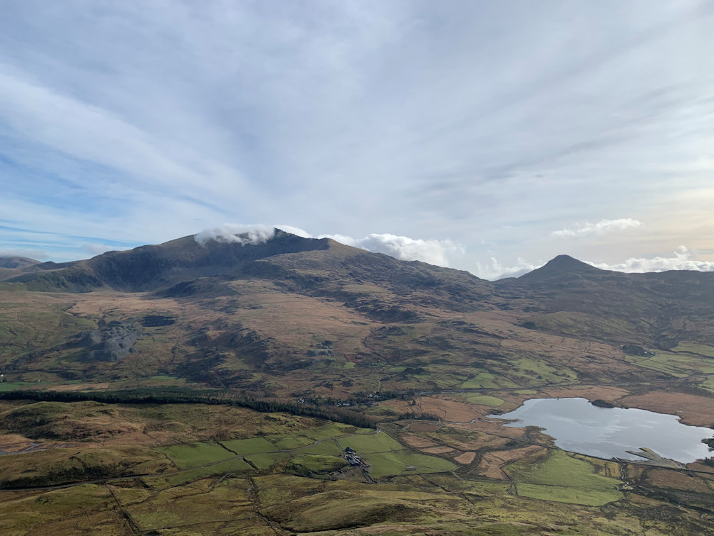
Not pausing I headed off to Trum y Ddysgl (709m) which maintained the interest with some good scrambling over big rocks, never feeling exposed, the path makes its way up to the summit which is the first to exceed 700m.
From the summit an obvious path leads down for a while and then up to top out on Mynydd Tal-y-mignedd (653m) and four peaks completed. I decided the summit obelisk would make an excellent wind break and as I hadn't stopped for more than a couple of minutes, this would do for my first proper break.
Several cups of blackcurrant and a goodie bar I was set up for the next challenge.
Peak number five, Craig Cwm Silyn (734m) looked like it would repel all but the most determined climber, the head wall looked very exposed and very challenging. Still, I mused, I'm not the first to do this ridge and I doubt I'm the least experienced so it must be possible, perhaps there's a route up I can't see. Getting closer, there is a big descent making the mountain look even higher and in fact, the only time the ridge drops below 2000'. From the col, it didn't look any easier and I have to admit to some trepidation. I needn't have worried, the path traverses right under the main wall and then takes a much easier, although very steep route upwards, mixing steep walking with some scrambling and the odd airy position before arriving at the summit boulder field. Personally I think this is the hardest climb of the ridge, being steep and with four peaks already in the legs, hard going. It is also the high point of the entire ridge. There is a shelter of sorts and also a square stone construction but nothing of real note. The wind was still strong and it was quite cold so I continued without stopping towards Peak number six; Garnedd Goch (700m). It is an easy walk with no issues other than the final boulder field onto the summit.
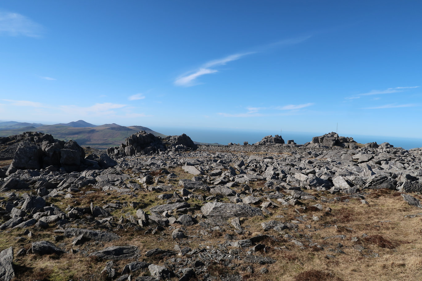
In the old days, that would have been that, but someone very kindly remeasured Mynydd Graig Goch and discovered it was in fact, 610m which made it a 2000' peak! It had to be done. It is quite a distance further on and the approach very approximate. One is never quite sure where the actual top is. I resorted to my electronic copy of the OS map so that I could home in on the true summit. The summit crags are all round about the same height so I declared that I'd done it by standing on what I thought looked the high point. Satisfied with that, I found shelter to have lunch.
After lunch, curiosity got the better of me and I once again resorted to the electronic OS map. On full zoom I located the OS summit. My watch and phone both showed 609m but the arrow point was dead on the summit.
I decided to take a direct route back, or at least as direct as I could. I'm not sure whether this was a good idea or not! It started well enough with good easy walking, but then deteriorated into heavy going over heather with hidden rocks. Added to this, several walls and barbed wire fences and I could feel my enthusiasm ebbing away. This continued for well over an hour before I finally spied the road and car park that signified the start of what I thought was the final stroll into Rhydd Ddu. Oh no it wasn't! It was very steeply down to the road and my knees complained bitterly. At the bottom I realised that the only way was up! The path goes up through the old slate works which itself is built on a hillside so steeply up through that. Finally getting to the top I started through the forest only to be met by several wind-felled trees blocking my way! Detours were required into the forest itself to get around, none of them easier than the others and reminded me of the forest in Lord of the Rings. This repeated several times before I emerged and could see Rhydd Ddu about a mile or so distant along a good path. With about fifteen minutes walking left, I manage to have my first slip of the day - straight into the mud! Annoyed I managed to clean myself and my gear as best I could in a nearby stream and finished soon after.
It had been a much harder day than I'd expected and a much longer one, especially the return journey, but I'd done it and completed seven peaks in seven and a half hours.

