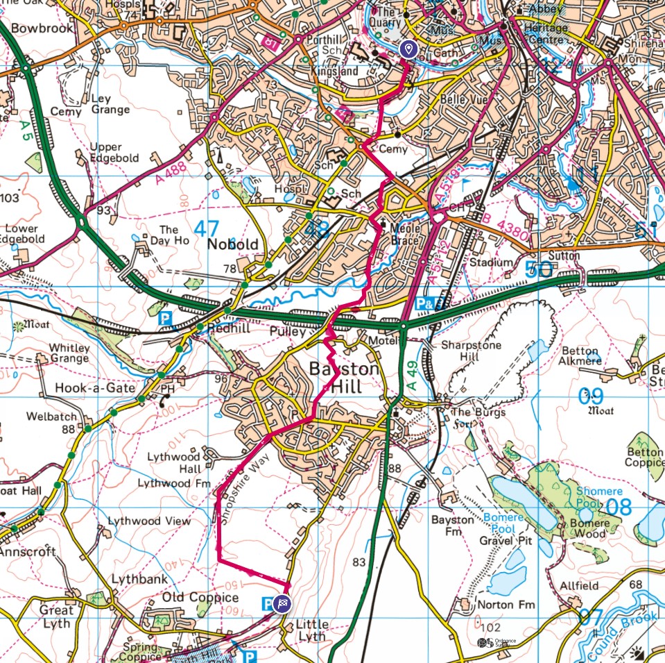

Stage 1 starts at the Toll Bridge in Shrewsbury. Today I had completed Stage 10, so had in fact, walked from Rodington to Shrewsbury already. Doing the walk like this in stages is bound to cause confusion for the reader - it causes me confusion and I am doing it!
Once over the toll bridge, the Way takes paths wherever possible and avoids main roads which is nice. Unfortunately, it is impossible to avoid the very busy main road through Meole Brace which took some time to cross and was only made possible by a very kind motorist slowing down to allow me over!

On the other side, I crossed a fence and onto a large recreational ground rather than walking alongside the busy road. Either way brings the walker to the railway line crossing and then via more lanes and roads into a small nature reserve. Through this and up to another road which crosses the A5 via a bridge. It is then back into small lanes and fields. It was on a stile in one of the fields that I decided to stop for lunch. The weather had thus far been very kind so I was happy to rest a while.
Of course, sooner or later we had to leave and via Bayston Hill village we made our way into open country again to walk the short distance to Lyth Hill Country Park which was the end point for the day. I'd walked a total of 15 miles on the second half of Stage 10 and the first part of Stage 1. It will be from here that I will start the assault of Stage 1 right the way to Bridges.
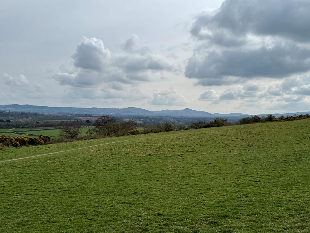
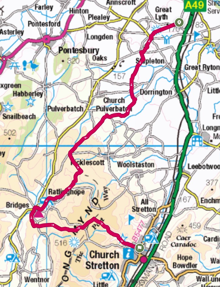
Fast forward to the next outing. I got dropped off at Lyth Hill country park and set off across the open ground towards the woodland. I think I might have taken a slightly longer route to get past the woodland, but met up with the signposted path and followed it to the road. From there, a quick left and right and we were on country tracks again which crossed fields and a couple of roads before emerging onto a lane which we had to follow for a couple of kilometres before once again reaching tracks and field paths.

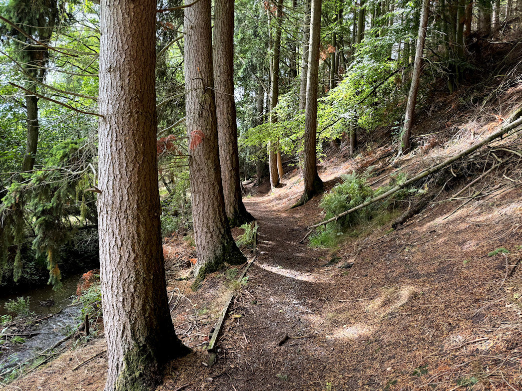
It was a long and steady climb through various fields, all of which seemed to have sheep grazing. Rosie was on best behaviour and ignored them all without me having to resort to the lead. Another road crossing and then onto a tarmac track which we eventually left to descend and follow a track that wound its way around the foot of several small hills. It was along here that the first of many showers came. Luckily I was close to some trees so took shelter whilst donning my waterproofs. It was around mid-day so rather than head off into the rain, I took advantage of the shelter to make it my lunch break.
During lunch, the rain stopped and the sun came out. Off came the waterproofs. We set off in bright sunshine and almost made it to Bridges about a mile distant before the next shower. Once again I was walking under trees so stopped and waited a while for it to blow over. Walking into Bridges, we passed the Youth Hostel, which has been in existence as far as I can remember. It has been sold by the YHA and is now an Independent Hostel. I've never stayed there and probably never will, but it looks really nice.

Bridges signalled the end of the Shropshire Way for today, with around 11 miles covered. Unfortunately, I still had four or five miles to get to my pick up point in Church Stretton.
Leaving Bridges along the small lane, it was steadily uphill to Coates Farm where we left the lane for open countryside and the Long Mynd. After a couple of miles, I realised I had been walking uphill since leaving Bridges and still had more to do. My high point would be over 220m higher than Bridges!
By now I'd joined the Cross Britain Way which led me on good paths across the Long Mynd to eventually join the Jack Mytton Way, a steady downhill through the National Trust area of Carding Mill, past the cafe and down into Church Stretton. I just had the walk down through the High St and out onto the A49 to meet my lift at the petrol station and ideally located Greggs where I availed myself of coffee, sausage roll, and very sticky do-nut. Well deserved I think after just over 15 miles or 25km in new money. Stage one was well and truly complete.

