
Walking up to the Nagshead Plantation I decided it must be time for a break. As can be read from the previous section, I'd already walked about seven or eight miles so found a nice seat and settled down. My left foot was feeling quite sore at this point so off came the boot for a massage.
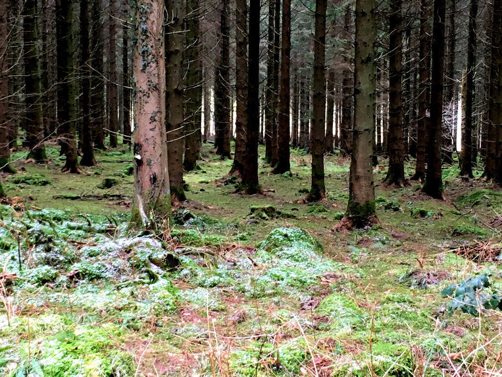
On a previous occasion I'd walked the next stage so didn't really need the guide book and stowed it away. This area is a nature reserve with bird watching walks available for those interested. I continued through and followed an easy track out to the Stone Works at Cannop Ponds then into the forest again following wide tracks with good signage. At one point I came across a pile of rubbish; plastic bottles, foil, even a spray can of some sort - what it is with people that they can't take their rubbish home? Following these tracks I came to the Speech House and took the opportunity to sneak in to refill my water bottles.
Across the road I found a nice place to stop, got out the chair and settled down for lunch in the sunshine. It was a tough task getting up again and packing away but I was determined to get to May Hill and still had some miles to walk.
The route disappears back into the forest but on better signed paths and is much easier to follow and I soon arrived at Drybrook Station, the turn around point from a previous outing from Parkend. The route takes a small path adjacent to what seems to be the main railway line and what a path it was! It seemed like every third tree had falled over which made slow progress climbing over and around them. Finally I saw an exit onto a much better path, my thighs and knees were extremely grateful! The guide and the route from here gets extremely vague and one point I arrived at a dead end! With no choice but to walk around I eventually arrived at some buildings that were marked on the route (having passed a man walking his dog twice!). More vague directions and mapping and I popped out at Plump Hill.
The path takes a narrow track downhill which has clearly not been used for a very long time, such is the undergrowth and I battled through it to emerge at a cluster of houses at the bottom. Thinking that must be the worst I will encounter I was even more disappointed to see the path head up a hill through the wildest stinging nettle field I think I have ever seen! With a combination of stamping and hacking with my walking poles I slowly made my way up. Emerging with a few stings but far less than I imagined I was grateful to be out of that and onto a lane for a while. The lane passes a nice church and a very dilapidated School Room before the track heads off cross country and uphill again. Once again the guide and map do not match the terrain and in fact are vague to the point of being silly - aim for the obvious trees on the skyline! There is an entire row of trees! The map shows a small pond which must have long since dried up as there was no evidence despite much searching. To frustrate even further, May Hill was dead ahead. Finally I located a way down, although it involved climbing a wire fence and emerged into Longhope. The guide skirts the village but I needed to stock up on water so took the direct route down - the actual path still eluded me.
At the Southern End of the village is a small shop selling everything, but water was all I needed so bought sufficient to restock and have a good rehydrate, plus a couple of bottles of diet coke as a treat. I headed off in the direction of the Nags Head Pub which it turns out closed some time ago, so, against the advice of the guidebook, it is not possible to stop for a quickie. From here it is pretty much uphill all the way to the summit of May Hill, no real surprise there and I was grateful to finally see the trees on the summit. My plan was to camp in the trees and in fact it was most of the reason for the long day today; just over 21 miles. Unfortunately nature was against me in the guise of strong winds blowing. There are reputed to be 99 trees on the summit but I have previously counted well over 120. They are spaced such that it is not possible to get sufficient shelter. The tent itself would be fine but I doubted I would be able to cook adequately so decided to head over to the leeward side and find a suitable place. A few minutes later I came to a reasonably flat area and quickly pitched my tent. Dinner soon followed comprising sausage in rice with some chocolate for dessert. As with all wild camps, there is nothing to do in the evening so I soon turned in for the night, but not before being surprised by a couple of cows that came ambling over to see what was going on. They quickly tired of the novelty and wandered off.


