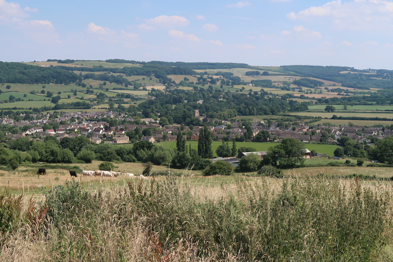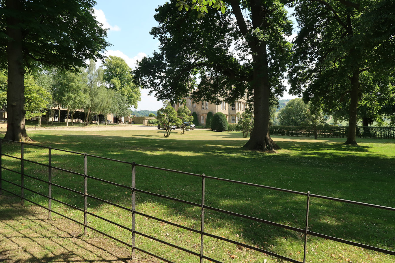

Having replenished my water supplies from the previous section, I set off to climb Langley Hill. I knew this hill well from the Winchcombe Way, so knew I was in for a good climb. I eased into the walk, not wanting to rush up it and overtire myself early. It was blisteringly hot and I was aware that I had consumed two litres of water on the first section (which was not really enough) and would almost certainly consume at least as much on the second section. I had three litres in my rucsac but even so. At the top of the hill, care needs to be taken to get the correct route, there are signposts but they are not fantastic so before heading off too far I consulted the guide which told me that the Winchcombe Way heads down and right but the Gloucestershire stays straight and high. The path thins at the end of the big fields and doesn't give the impression of being right, but I persevered and eventually popped out at Far Stanley which came as a relief. Under the Steam Railway bridge and out to the main road which is followed for a short section before taking the direct route through a field and up the hill. The walk passes the awesome Dixtons Manor house which is just amazing. I'd never seen it before, despite the area being popular with me cycling, although the lane to the Manor is a dead end so there would be no reason to ride it.
Across the road and into another field system it was a long walk to Woolstone Farm. I'd done almost twenty miles from my start at Stow at this point and was feeling it. The heat didn't help, with still no breeze, it was stifling. Through the farm which was more luck than good judgement (aim for the main entrance) I walked up the hill hoping that the next farm would be Crane Hill Farm - it was! Alongside it there is a very narrow path, overgrown in places, it took some getting through but emerges onto Crane Hill, a hill I had seen from the road many times and always wanted to scale, well, here I was. Oxenten is visible to the left, but the Gloucestershire Way stings its walkers by taking a long sweep around to finally descend to the church and village.
I have to confess at this point I seriously considered phoning my emergency rescuer as my legs were hurting, I was hot and very very tired but I convinced myself that I could finish so pressed on across the main road and into another big field system which initially started well, but the path soon disappeared into almost nothing, making walking even harder through the undergrowth. Emerging at Claydon Farm, there was some relief, but I was quickly back into the fields again and with the new planting had to walk around one field to find the exit. I located a small bridge which seemed to be right, then headed for the far side, convinced the pole I could see in the distance was the path marker (it was a gas line marker!). Miffed, I decided to carry on and once out of the field, relocate. Imagine my surprise when I saw a Gloucestershire Way sign! The path crosses the main railway line through gates, so a quick check to ensure no trains and over I went. Next crossing is the M5 which is just hateful after a day in the countryside but then it is into Walton Cardiff, one more field and my day was complete.
I must have looked a sight as I walked slowly into the pub and ordered a Stella but did I care - no! That was the final section of the Gloucestershire Way and very nice it is too. Combining the sections from Stow to Winchcome and this one gave me a walking total of 26 miles which is a lot and not something I would probably do again! There is some road work which is always a disappointment, but with a walk of this distance, it would be impossible to avoid roads and it is by no means the worst for road walking.


