
I was up and about early and after a quick breakfast and brew packed away my gear and headed off downhill in the direction of Gloucester. Almost immediately the guide became vague about the direction but I figured it out by just continuing downward in a straight line, although I think the final path turn should have been taken but the guide says to 'fork right' but the turning was a distinct 90 degree right turn so I ignored it. Reaching the lane I soon figured it out and continued onwards. Some lane and path walking and Huntley is reached which requires crossing a busy road but once over it's back into fields again. This time a huge field with a bridge about half way down. Reading the text, there is an acceptable alternative to the dog leg through a field which is to simply carry on, which I did, reaching another overgrown bridge at the far end which took some climbing over - it was only when over that I spotted a direct route through a gap slightly further down...doh!
Some easy walking from here I found myself in another huge field with no sign of exit so aimed slightly left as described. Now I don't know whether I went too far left but nothing! Eventually I located a gate with a Gloucestershire Way sign but way further to the right than I expected. Unbelievably it had a combination padlock on it! No alternative but to struggle over. Why? Walkers will continue to use it and eventually it will break. There is a public footpath through the field so what are they trying to prove? Further on, more difficult gates and stiles to negotiate before arriving at the railway line which required care to cross, although I figured I could see for at least a mile in each direction so no worries about a train sneaking up on me.
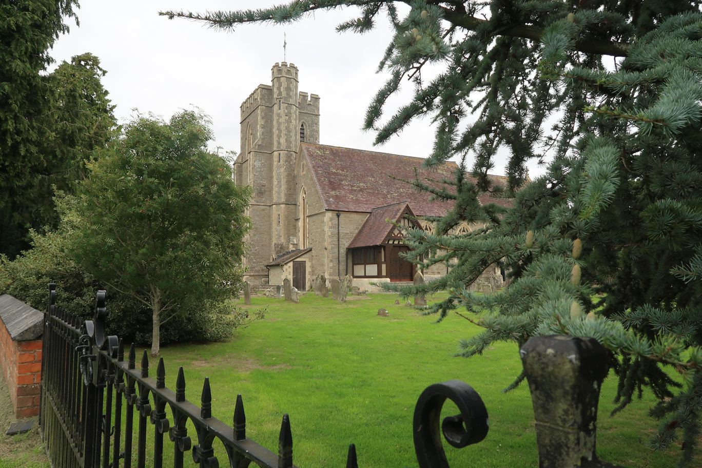
The route arrives at another lane where the Way is meant to continue on the other side of the road but again, nothing! I walked out to the main road and crossed, spying a path sign leading to the river. I figured that would be nicer than walking down the road and I was right. Eventually the actual way joined the path from the left but heaven knows where it came from. No worries, just carry on. Soon enough I arrived at Minsterworth Church where I declared lunch, breaking out my seat and settling down for a good break.
Of course, stopping for lunch eventually requires movement to continue so I packed away and headed off, following the river for another mile or so before leaving it to head inland crossing many fields with many stiles, each seeming to be worse and more overgrown that the previous one. I finally arrived at the final field scratched and bleeding with legs and knees having lost their sense of humour in a big way. The last short section here is along the main road which had some small crumb of comfort in that there was so much traffic that even at my somewhat slower pace I was moving way faster than the vehicles. Something to be smug about! Soon the Way leaves the road heading over an old bridge designed by Thomas Telford before disappearing into a labyrinth of paths, underpasses and grassland as it weaves it way into Gloucester and for me, both the end of the day and the end of the walk, having done all of the rest of the walk at other times.


