For section six, I've been forced to complete them as out and back or circular walks due to the lack of a chauffeur.
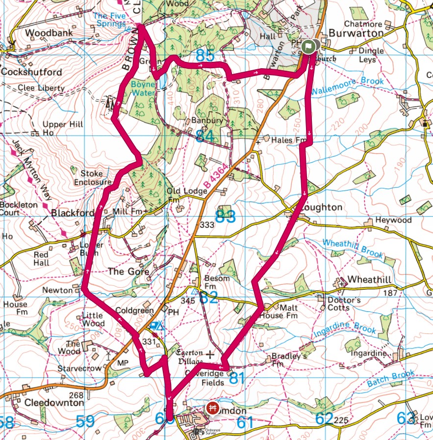
Originally I'd planned an out and back walk, but then modified it to be a circular route. I'm not sure if that was a good decision or not!
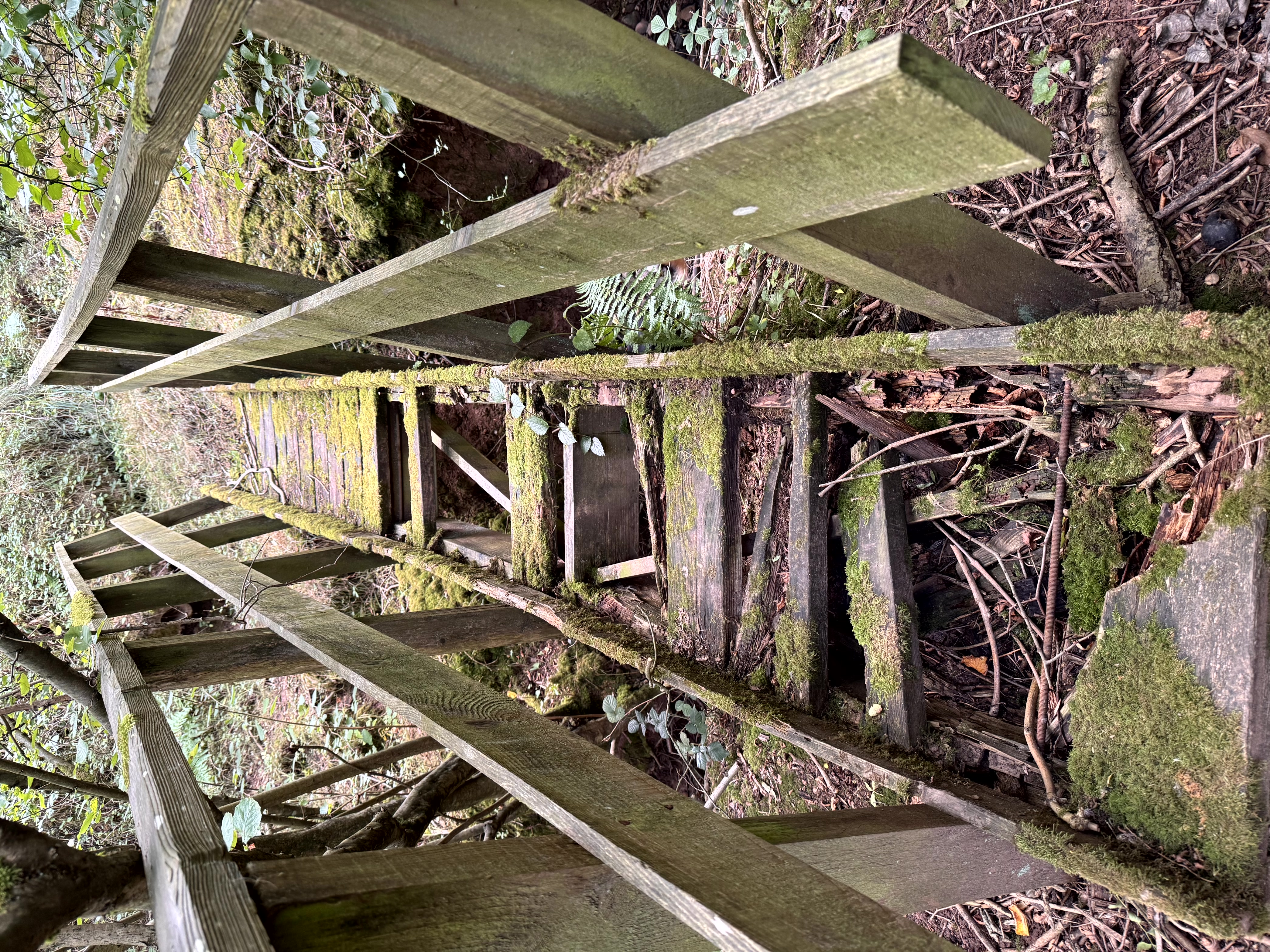
I parked in Burwarton where there is extremely limited parking opportunities and headed off South to meet the Shropshire Way. Clearly the county council don't view path maintenance as a high priority! Many of the stiles were either broken or badly overgrown. At one point the path headed through a wooded section. It was a real fight to get into the woods, a real fight through the woods and at one point I had to cross the most dubious bridge - it held, but it didn't look like it would last much longer. The exit of the woodland was even harder to get through and I was glad to be clear of it.
Eventually I arrived at Bromdon where I picked up the Shropshire Way and started to head North. Essentially this was the beginning of the long climb of Clee Burf (510m), a Dewey and in fact the final one in the Long Mynd group. As I got closer, so it got steeper up until about 450m where it levelled off dramatically for the final 50m of ascent. There is nothing much at the trip other than a transmission aerial so I went to the high point then continued until I was just pas and close to a woodland where there was some shelter from the wind - it was lunchtime.
That done, the route heads directly to Titterstone Clee hill, but at around the half way point, I left the Way for the day and headed down the long walk back to Burwarton. On the way down, it occurred to me that my plan for the next stage was to start in Burwarton again. I might rethink that, given the amount of descent (and therefore climbing) that would be involved - we will see.
Soon enough I was back in the village and had a final short section of road back to the car. I'd walked just over 16km in just over 3 1/2 hours with 505m of ascent. The weather had been perfect all day, not too hot, but not too cold either.